The Vee
The Vee
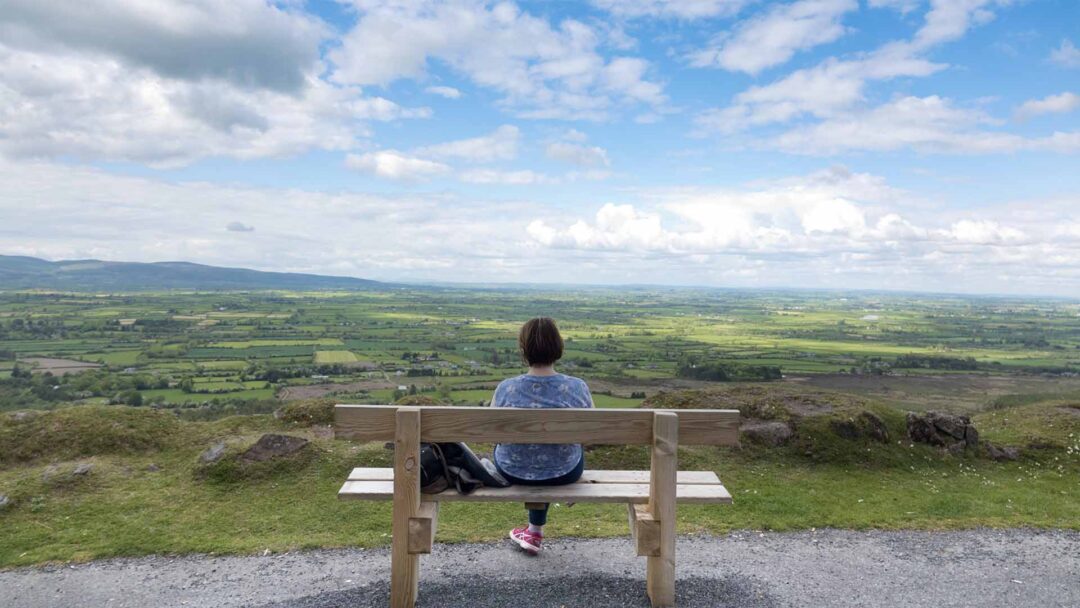
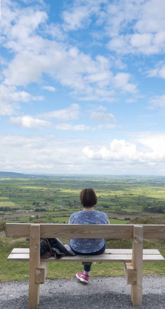
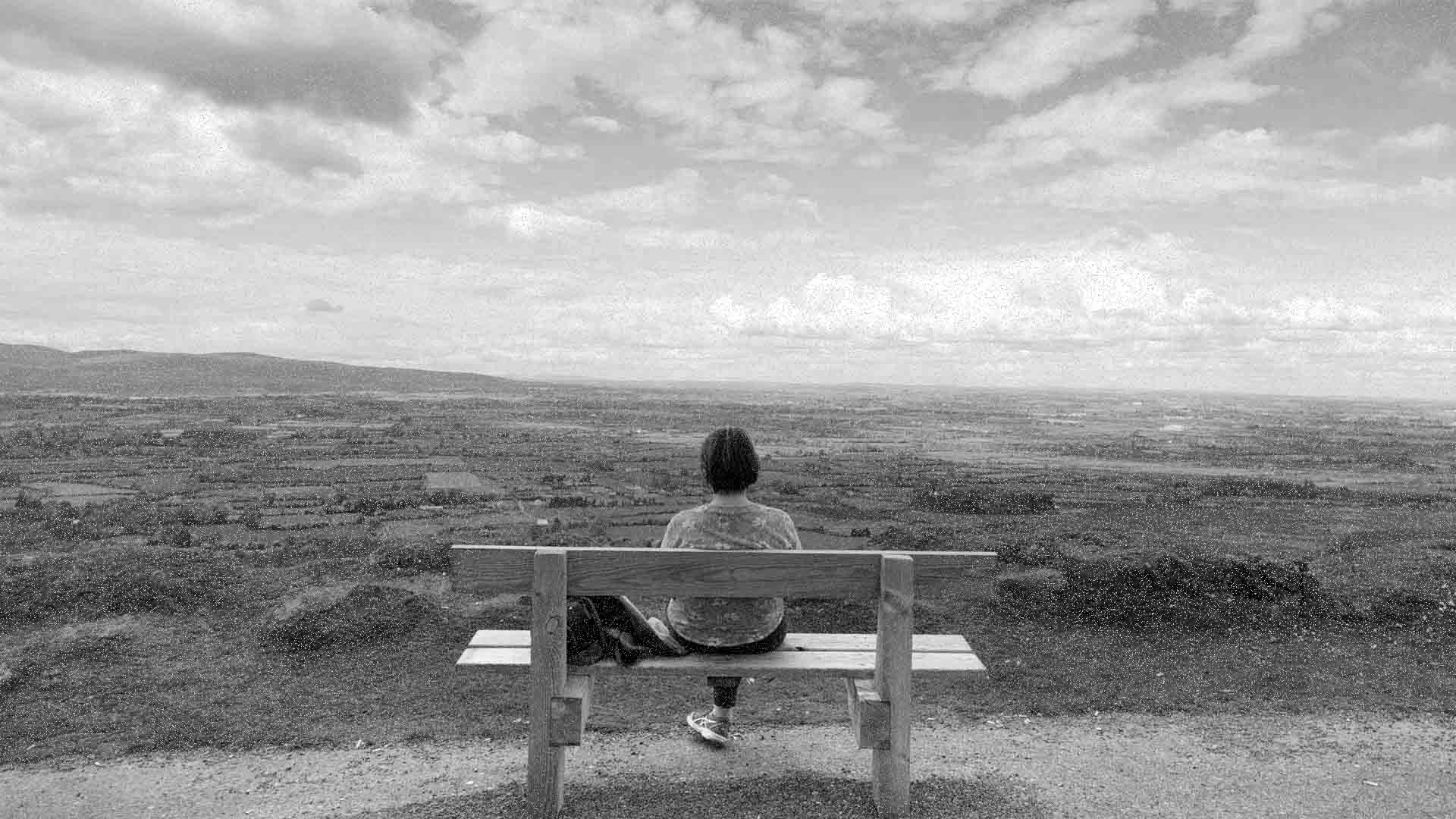
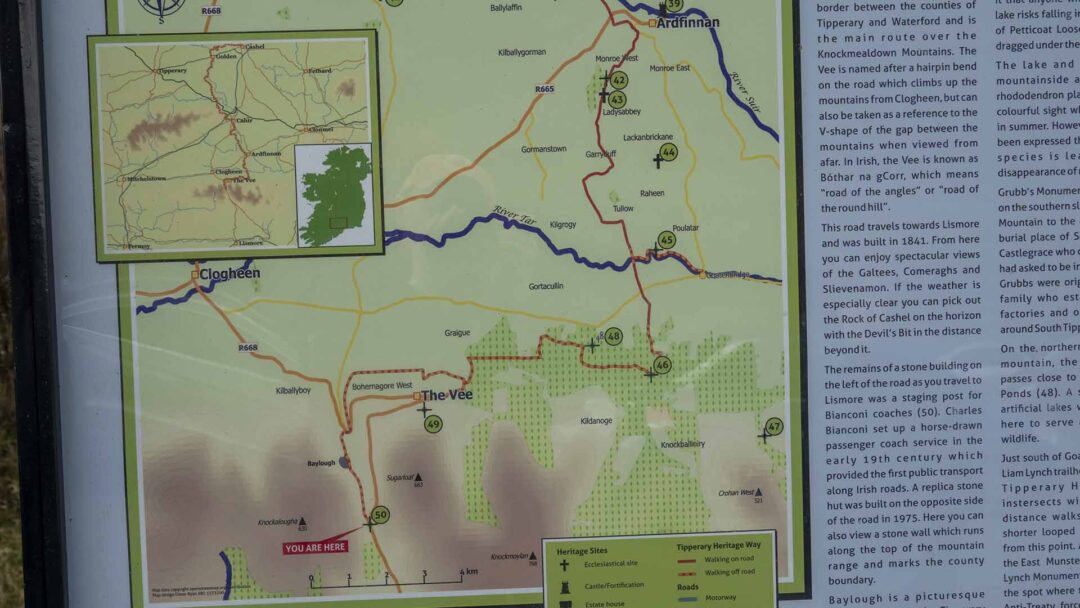
The Vee is a start/finish point for the Tipperary Heritage Way. From here, the route heads north and east for approximately 13km to Ardfinnan.
The Vee is a start/finish point for the Tipperary Heritage Way. From here, the route heads north and east for approximately 13km to Ardfinnan.
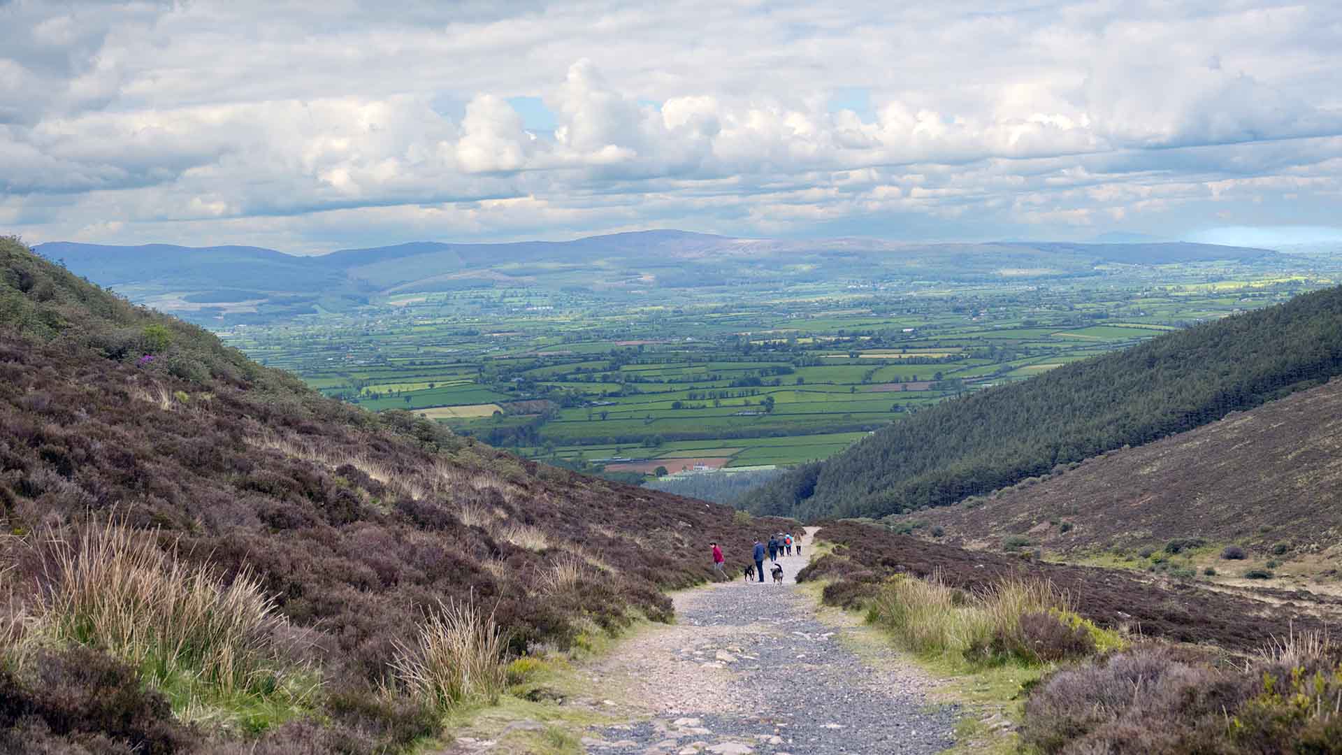
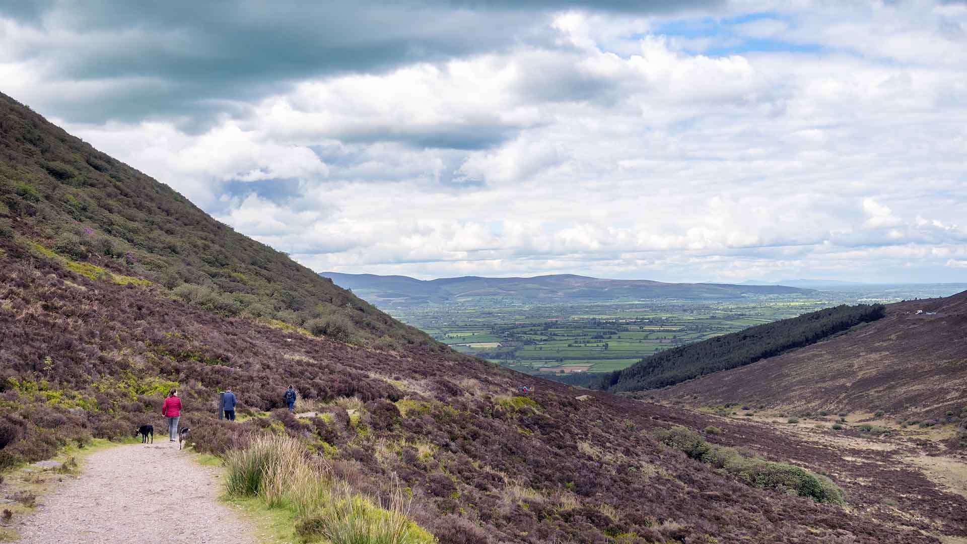
The Vee Pass is also called The Vee
From above
From above
The Vee is located close to the border between the counties of Tipperary and Waterford and is the main route over the Knockmealdown Mountains. The Vee is named after a hairpin bend on the road which climbs up the mountains from Clogheen, but can also be taken as a reference to the V-shape of the gap between the mountains when viewed from afar. In Irish, the Vee is known as Bothar na gCorr, which means ‘’road of the angels’’ or ‘’road of the round hill’’.
The Vee is located close to the border between the counties of Tipperary and Waterford and is the main route over the Knockmealdown Mountains. The Vee is named after a hairpin bend on the road which climbs up the mountains from Clogheen, but can also be taken as a reference to the V-shape of the gap between the mountains when viewed from afar. In Irish, the Vee is known as Bothar na gCorr, which means ‘’road of the angels’’ or ‘’road of the round hill’’.
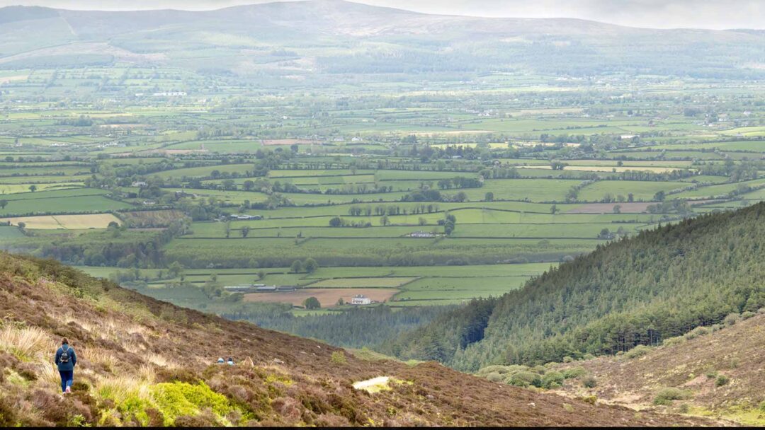
This road travels towards Lismore and was built in 1841. From here you can enjoy spectacular views of the Galtees, Comeraghs, and Slieenamon. If the weather is especially clear you can pick out the Rock of Cashel on the horizon with the Devil’s Bit in the distance beyond it.
This road travels towards Lismore and was built in 1841. From here you can enjoy spectacular views of the Galtees, Comeraghs, and Slieenamon. If the weather is especially clear you can pick out the Rock of Cashel on the horizon with the Devil’s Bit in the distance beyond it.
Charles Bianconi
Charles Bianconi
The remains of a stone building on the left of the road as you travel to Lismore was a staging post for Bianconi coaches (50). Charles Bianconi set up a horse-drawn passenger coach service in the early 19th century which provided the first public transport along Irish roads. A replica stone hut was built on the opposite side of the road in 1975. Here you can also view a stone wall which runs along the top of the mountain range and marks the county boundary
The remains of a stone building on the left of the road as you travel to Lismore was a staging post for Bianconi coaches (50). Charles Bianconi set up a horse-drawn passenger coach service in the early 19th century which provided the first public transport along Irish roads. A replica stone hut was built on the opposite side of the road in 1975. Here you can also view a stone wall which runs along the top of the mountain range and marks the county boundary
Petticoat Loose
Petticoat Loose
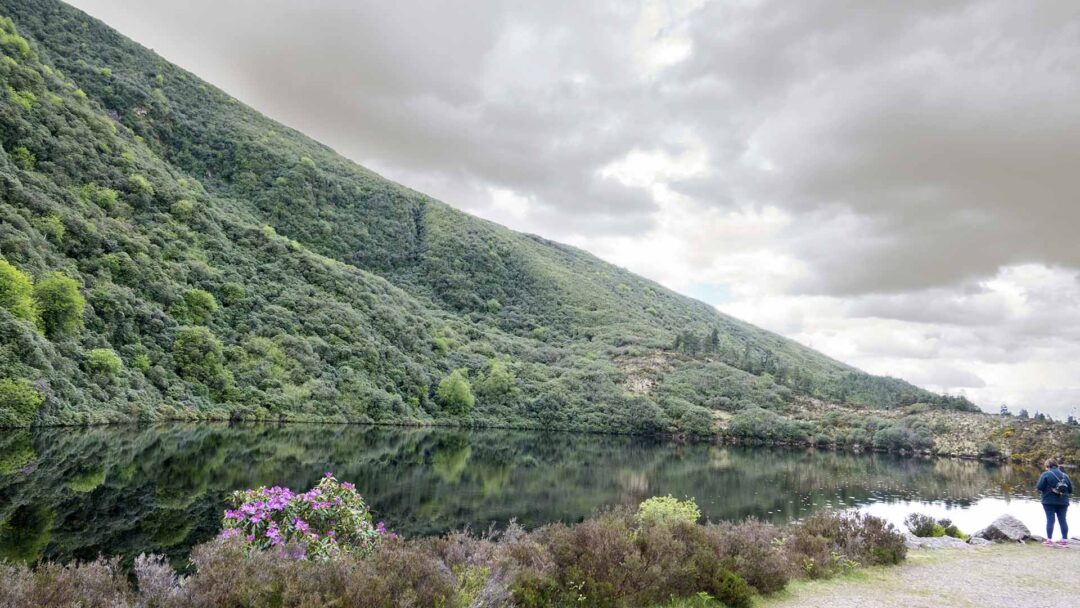
Baylough is a picturesque mountain lake on the Tipperary side of the pass. It is associated with the story of Petticoat Loose. This was the nickname given to a woman who lived in the Clogheen area and was reputed to be a witch. She was banished to the lake by a priest after conspiring to murder her husband. Rumour has it that anyone who swims in the lake risks falling into the clutches of Petticoat Loose and could be dragged under the water.
Baylough is a picturesque mountain lake on the Tipperary side of the pass. It is associated with the story of Petticoat Loose. This was the nickname given to a woman who lived in the Clogheen area and was reputed to be a witch. She was banished to the lake by a priest after conspiring to murder her husband. Rumour has it that anyone who swims in the lake risks falling into the clutches of Petticoat Loose and could be dragged under the water.
The lake and surrounding mountainside are covered in rhododendron plants which are a colourful sight when they flower in summer. However, concern has been expressed that this invasive species is leading to the disappearance of native plants.
The lake and surrounding mountainside are covered in rhododendron plants which are a colourful sight when they flower in summer. However, concern has been expressed that this invasive species is leading to the disappearance of native plants.
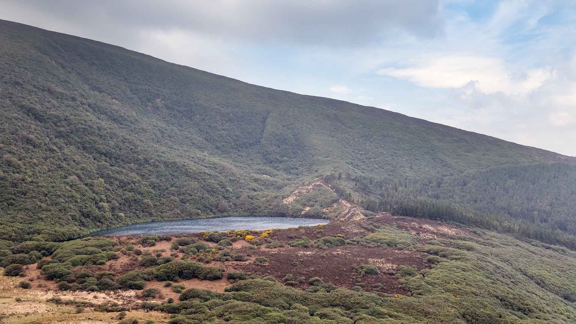
On the northern slopes of the mountains, the Heritage Way passes close to Kildanoge Duck Ponds(48). A series of small artificial lakes were developed here to serve as a haven for wildlife.
On the northern slopes of the mountains, the Heritage Way passes close to Kildanoge Duck Ponds(48). A series of small artificial lakes were developed here to serve as a haven for wildlife.
Liam Lynch
Liam Lynch
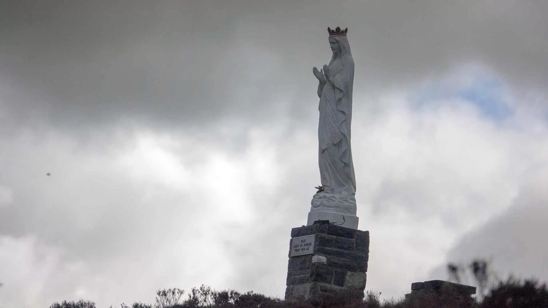
Just south of Goatenbridge is the Liam Lynch trailhead(46), here the Tipperary Heritage Way intersects with other long-distance walks. A number of shorter looped also start from this point. About 3km along the East Munster Way is the Liam Lynch Monument (47). This marks the spot where the leader of the Anti-Treaty forces was shot and killed in 1923 in the closing weeks of the Irish Civil War.
Just south of Goatenbridge is the Liam Lynch trailhead(46), here the Tipperary Heritage Way intersects with other long-distance walks. A number of shorter looped also start from this point. About 3km along the East Munster Way is the Liam Lynch Monument (47). This marks the spot where the leader of the Anti-Treaty forces was shot and killed in 1923 in the closing weeks of the Irish Civil War.

Sheep’s Head

Kilcoole to Greystones

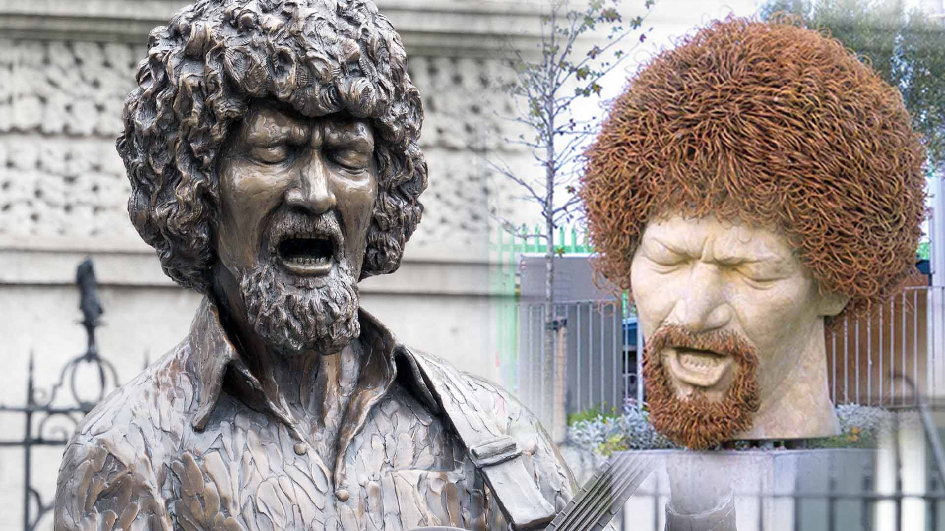
Luke Kelly Statue

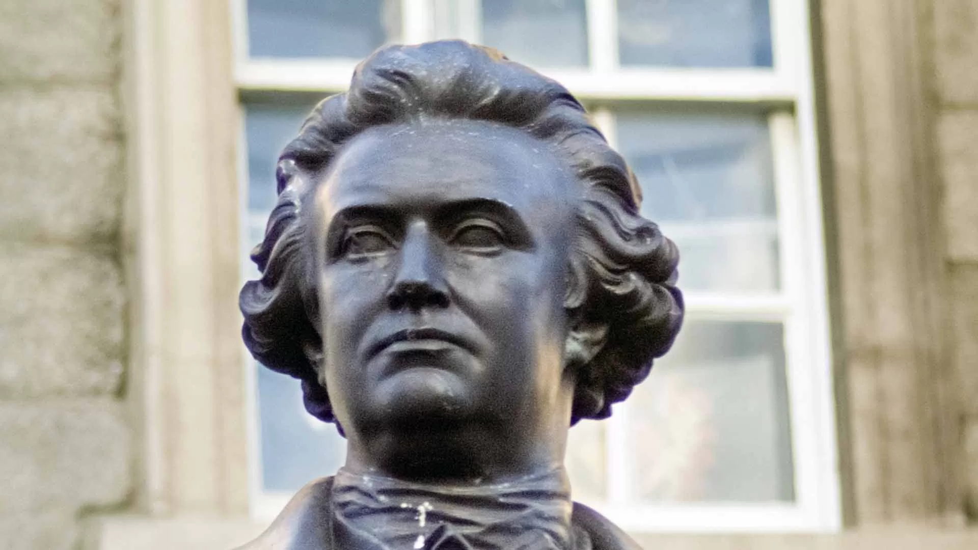
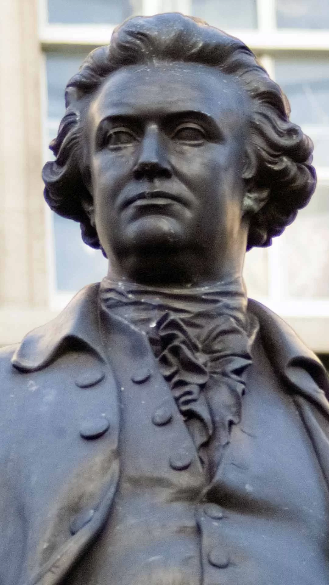
Edmund Burke Statue

Howth Cliff Walk


Mizen Head
