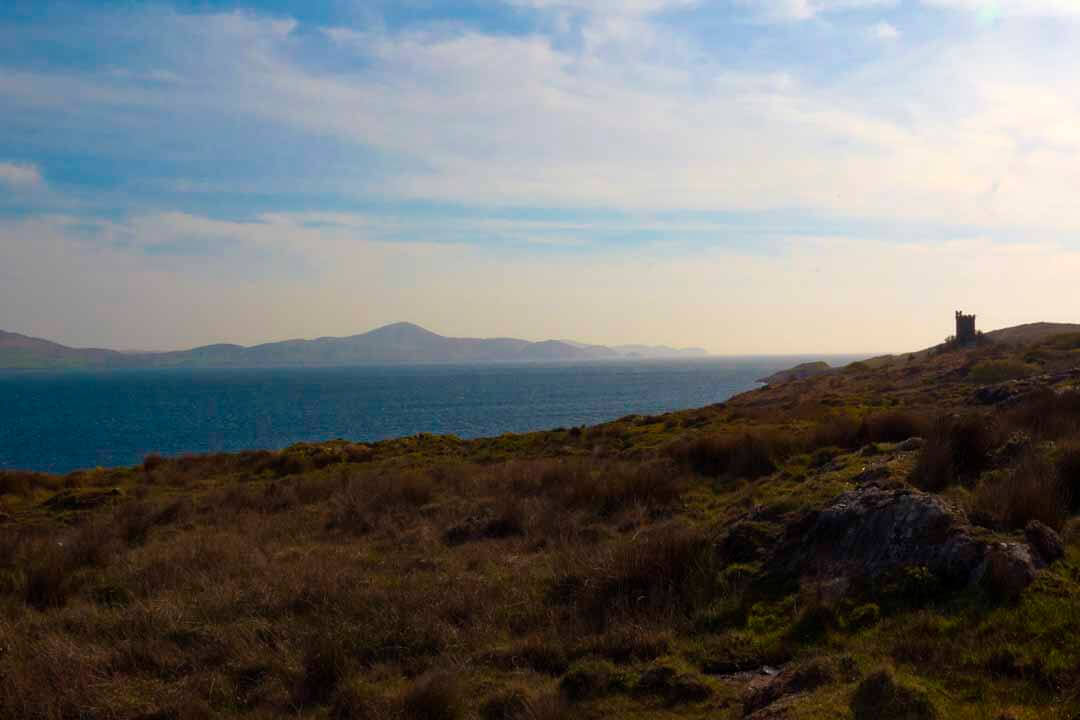
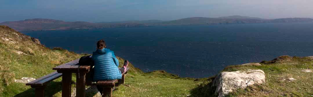
Sheep’s Head, also known as Muntervary, is the headland at the end of the Sheep’s Head peninsula – a European Destination of Excellence – situated between Bantry Bay and Dunmanus Bay in County Cork, Ireland.Wikipedia
Sheep’s Head, also known as Muntervary, is the headland at the end of the Sheep’s Head peninsula – a European Destination of Excellence – situated between Bantry Bay and Dunmanus Bay in County Cork, Ireland.Wikipedia
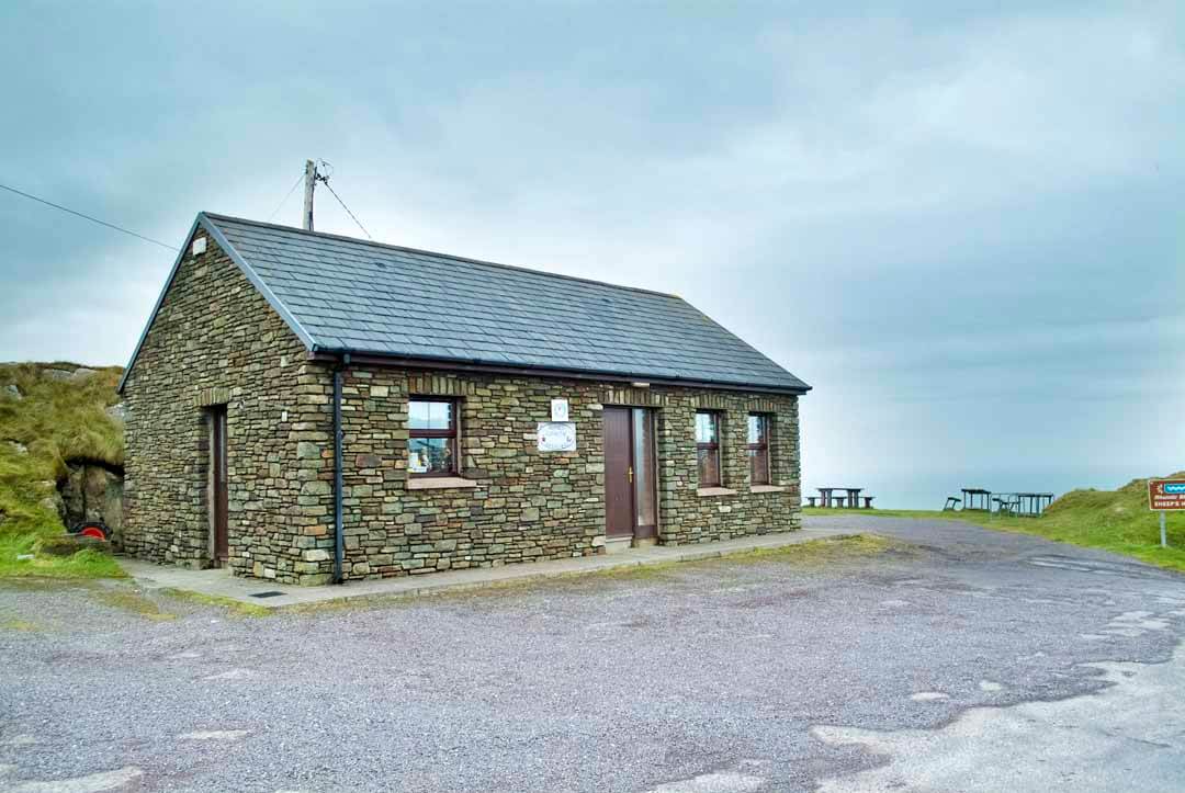
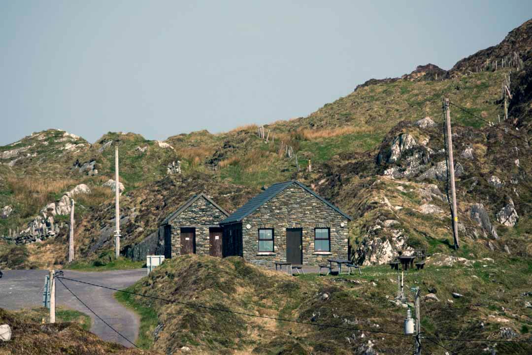
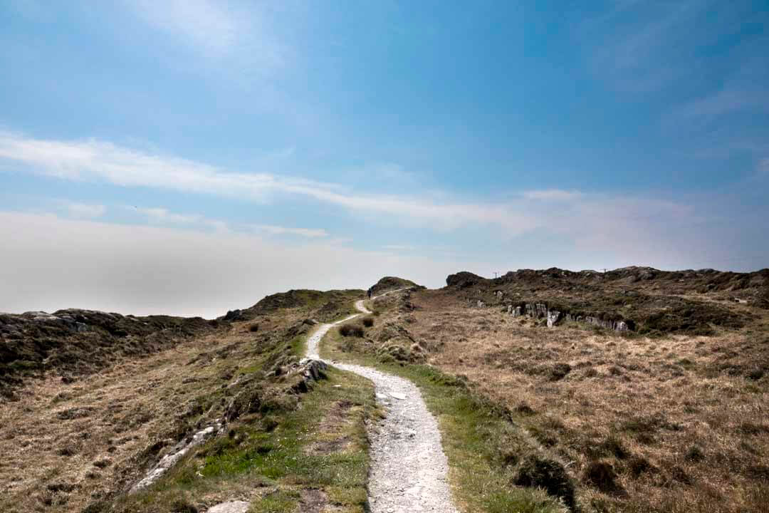
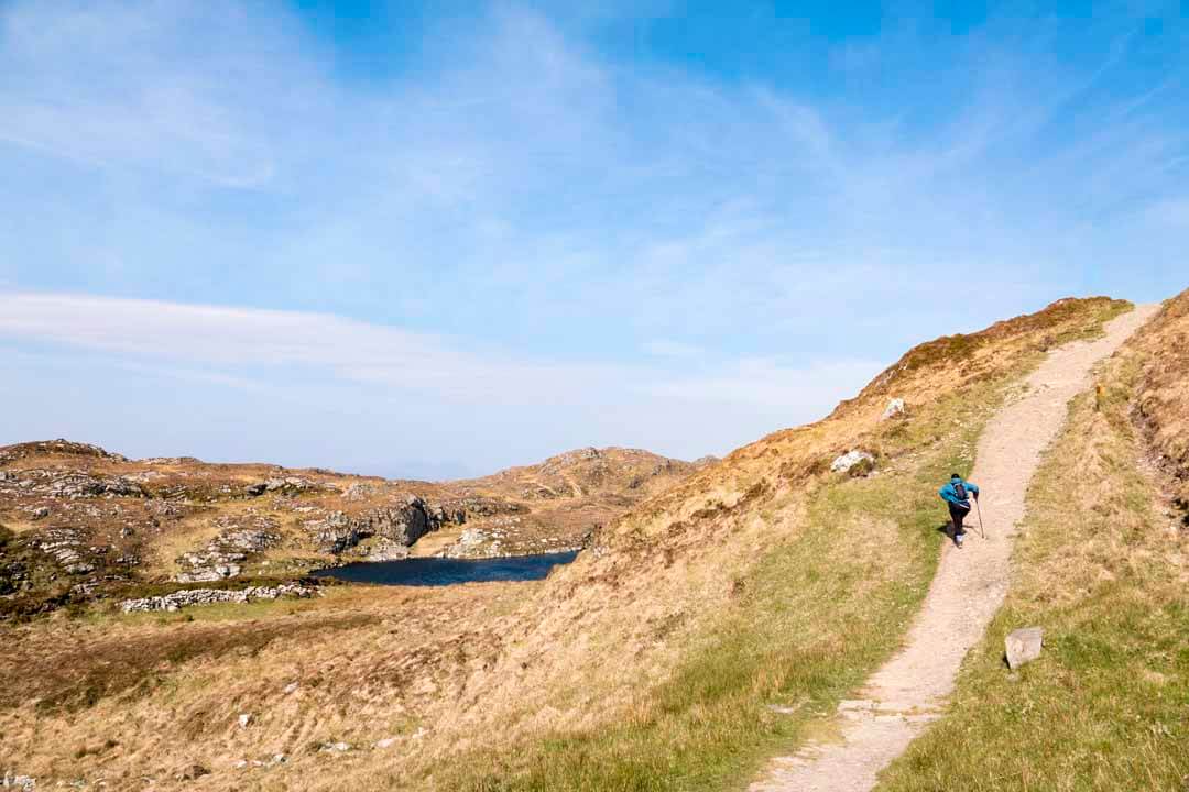
This walk starts close to the Lighthouse and is a manageable trail, but sensible footwear is recommended, the good news a tea room and small car-park with toilets awaits, and is a welcome sight before you start your walk.
This walk starts close to the Lighthouse and is a manageable trail, but sensible footwear is recommended, the good news a tea room and small car-park with toilets awaits, and is a welcome sight before you start your walk.
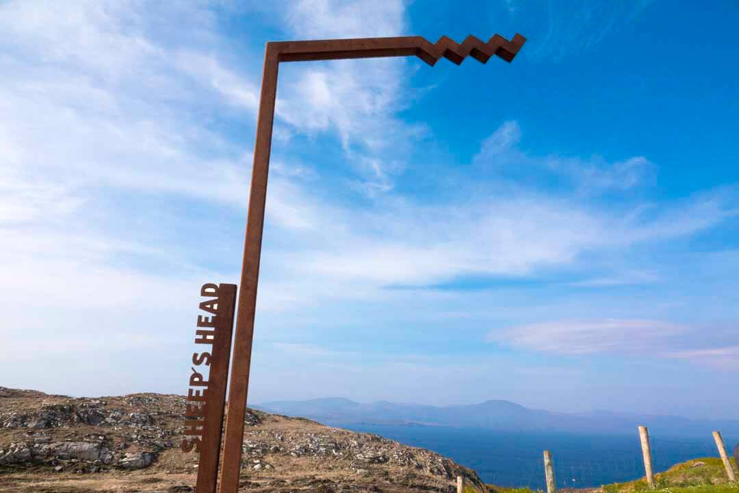
Sheep’s Head
Sheep’s Head
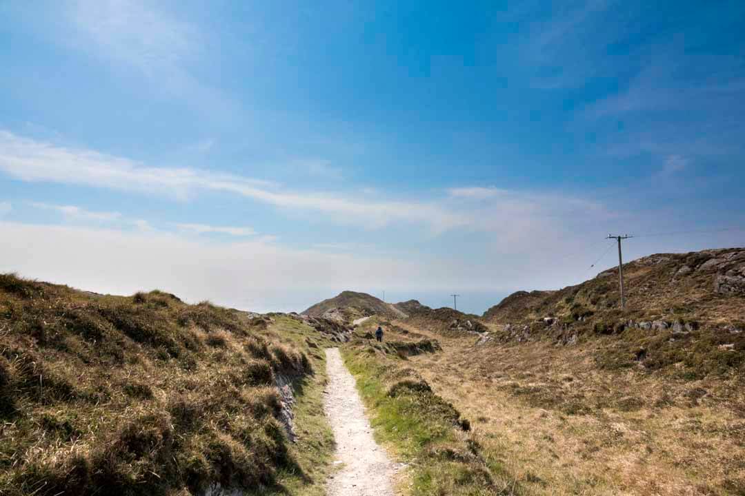
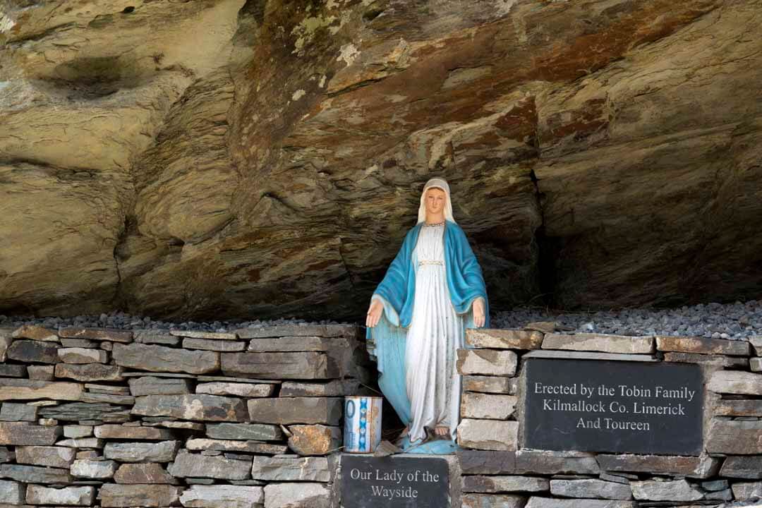
Life was hard but sustainable for people living on the remote tip of the peninsula in the early 20th century. When lobster boats arrived, having crossed from France under sail, people gathered on the cliff edge to watch and local rowed out to sell chickens and cabbages to the crews.
Life was hard but sustainable for people living on the remote tip of the peninsula in the early 20th century. When lobster boats arrived, having crossed from France under sail, people gathered on the cliff edge to watch and local rowed out to sell chickens and cabbages to the crews.
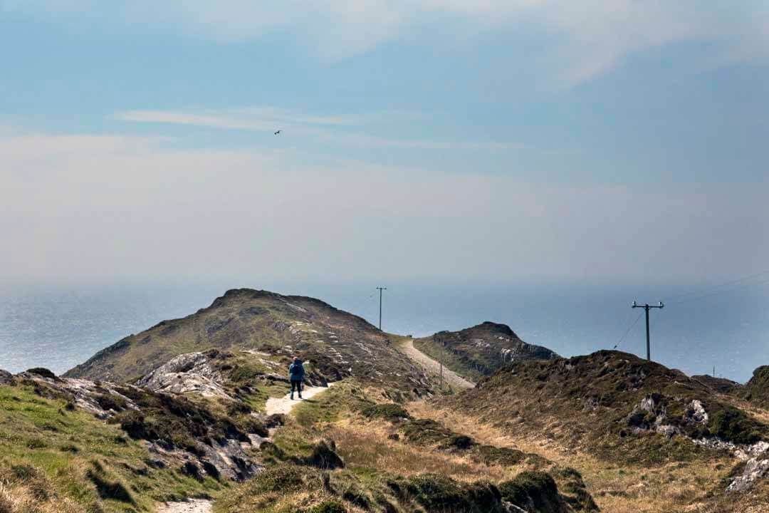
An Immense Challenge
An Immense Challenge
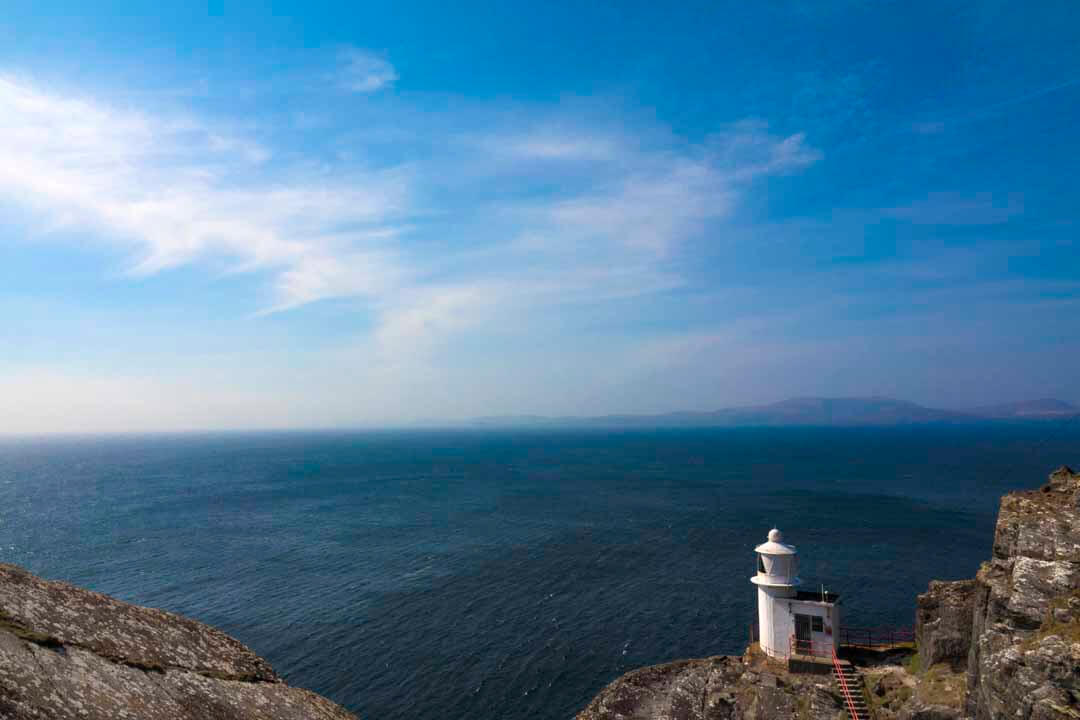
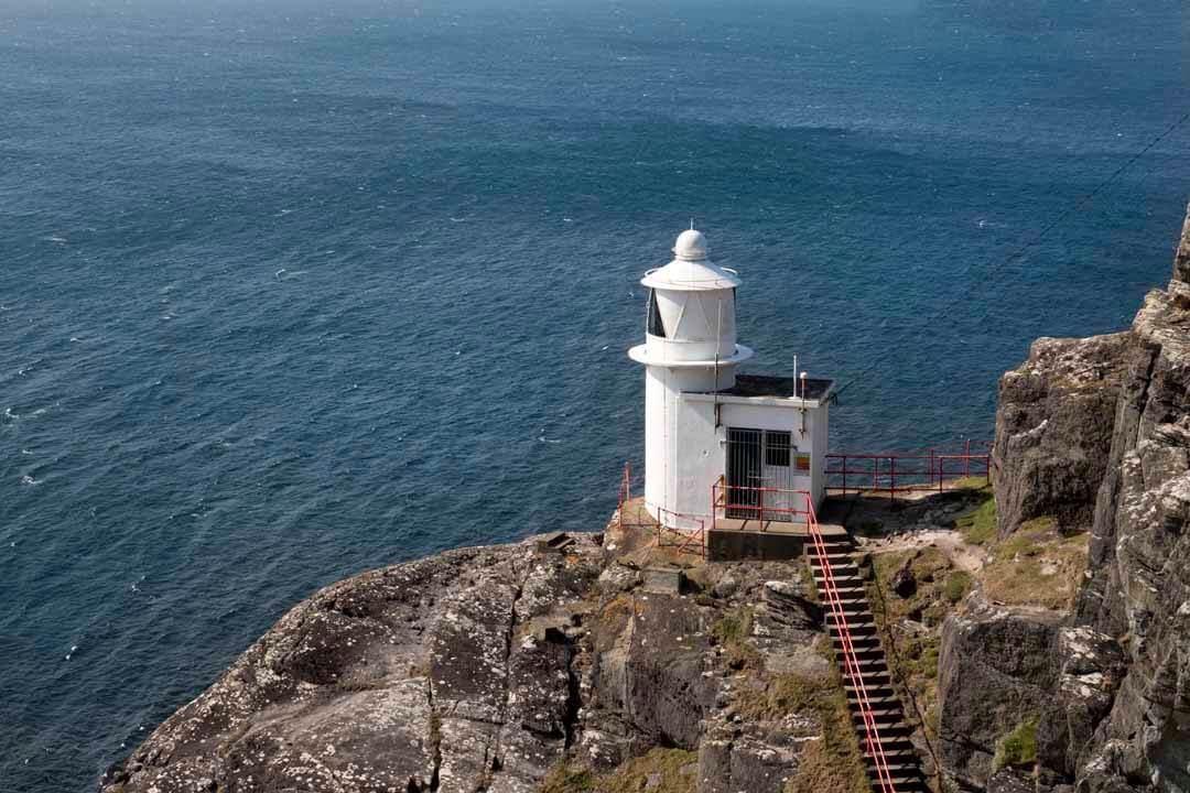
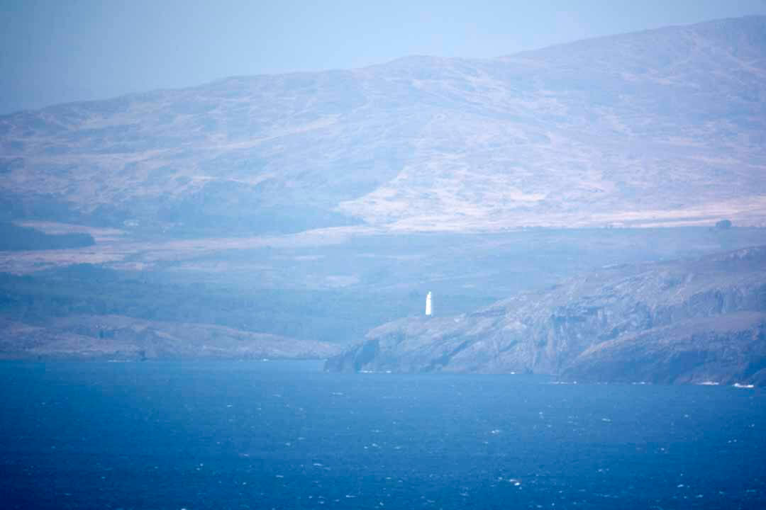
A lighthouse was essential to mark the southern entrance to Bantry Bay. During construction everything had to be flown in from Kilcrohane, 9km (5.6 miles) away-building materials, lighthouse equipment, electricity supply poles. Over 250 helicopter trips later, the lighthouse went operational in 1968.
A lighthouse was essential to mark the southern entrance to Bantry Bay. During construction everything had to be flown in from Kilcrohane, 9km (5.6 miles) away-building materials, lighthouse equipment, electricity supply poles. Over 250 helicopter trips later, the lighthouse went operational in 1968.
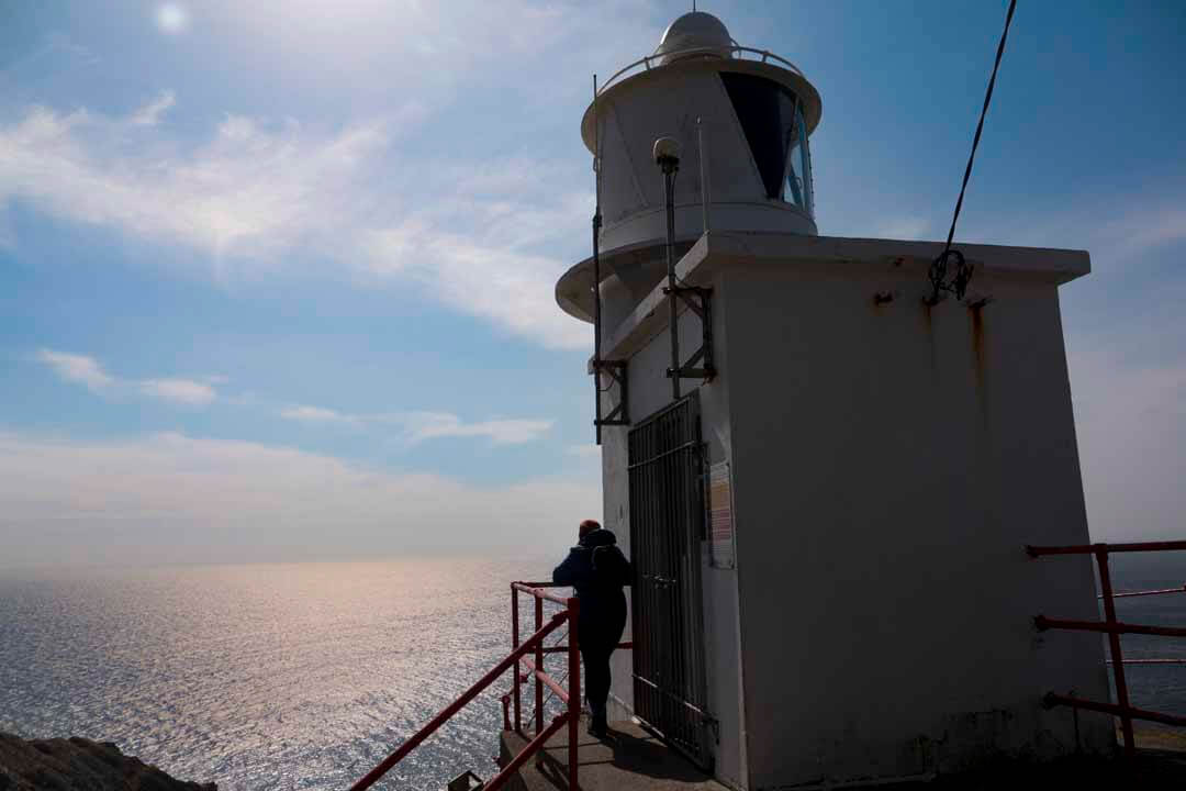
The Lighthouse at Sheep’s Head
The Lighthouse at Sheep’s Head
The lighthouse was built in 1968 on the very end of the Sheep’s Head Peninsula to guide oil tankers into the Whiddy Island terminal. The lighthouse is 7 metres tall and the light is 84 metres above sea level. It flashes three times every 15 seconds and has a light range of 18 nautical miles. Originally maintained by the keepers at the Mizen Lighthouse, a local part-time attendant was appointed when that lighthouse was automated in 1993. There are no roads to the end of the peninsula, but a helicopter landing pad outlined by white stones is close by and used for rescue operations (Waymarker 293). The Eire sign, marked out in white stones during the Second World War to be visible from the air and sea, can be seen to the south.
The lighthouse was built in 1968 on the very end of the Sheep’s Head Peninsula to guide oil tankers into the Whiddy Island terminal. The lighthouse is 7 metres tall and the light is 84 metres above sea level. It flashes three times every 15 seconds and has a light range of 18 nautical miles. Originally maintained by the keepers at the Mizen Lighthouse, a local part-time attendant was appointed when that lighthouse was automated in 1993. There are no roads to the end of the peninsula, but a helicopter landing pad outlined by white stones is close by and used for rescue operations (Waymarker 293). The Eire sign, marked out in white stones during the Second World War to be visible from the air and sea, can be seen to the south.
Caher Loop Walk
Caher Loop Walk
Start and Finish: The Black Gate / Letter
Start and Finish: The Black Gate / Letter
Grade. Moderate to Strenuous
Grade. Moderate to Strenuous
Estimate Time: 2 hrs App
Estimate Time: 2 hrs App
Climb / Ascent 210m
Climb / Ascent 210m
Max. Height: 189m
Max. Height: 189m
Trail Description:
Trail Description:
From the car park at the Black Gate follow the green loop walk arrows in a north-easterly direction along the public road for a short distance. Turn left off the public road and continue up the track and on to the hill. This is a fabulous walk, past Cahir Lake. Passing the Cillin at Caher, a famine graveyard en-route. The loop enters farmland and descends towards the sea at Trá Rúaim. After the pier, turn uphill to the public road and turn right AGAIN to return to the Black Gate.
From the car park at the Black Gate follow the green loop walk arrows in a north-easterly direction along the public road for a short distance. Turn left off the public road and continue up the track and on to the hill. This is a fabulous walk, past Cahir Lake. Passing the Cillin at Caher, a famine graveyard en-route. The loop enters farmland and descends towards the sea at Trá Rúaim. After the pier, turn uphill to the public road and turn right AGAIN to return to the Black Gate.
Cahergal Loop Walk
Start and Finish: The Black Gate / Letter
Distance: 8.4km
Grade. Hard or Strenuous
Estimate Time: 3 hours app
Climb / Ascent 371m
Max. Height: 184m
Trail Description:
Cahergal Loop Walk
Start and Finish: The Black Gate / Letter
Distance: 8.4km
Grade. Hard or Strenuous
Estimate Time: 3 hours app
Climb / Ascent 371m
Max. Height: 184m
Trail Description:
Follow the purple arrows north-east towards Kilcrohane on the public road for a short distance before turning left. Keep left at way marker 15 cl and continue crossing the peninsula to the Cahergal car park. Keep left after the stile, and cross the road to the car park and cross the next stile. This trail continues to the Cove, past the ruins of a famine hamlet locally as Crimea, and the abandoned copper mines on route . At the cove, follow the signs for Cahergal loop to cross the peninsula again back to the Black Gate. A great walk with varied terrain and sights.
Follow the purple arrows north-east towards Kilcrohane on the public road for a short distance before turning left. Keep left at way marker 15 cl and continue crossing the peninsula to the Cahergal car park. Keep left after the stile, and cross the road to the car park and cross the next stile. This trail continues to the Cove, past the ruins of a famine hamlet locally as Crimea, and the abandoned copper mines on route . At the cove, follow the signs for Cahergal loop to cross the peninsula again back to the Black Gate. A great walk with varied terrain and sights.
Peakeen Ridge Linear Walk
Start and Finish The Black Gate/Letter to the Goat’s Path Trailhead
Distance: 5.5km-in one direction only
Grade: Hard or Strenuous
Estimated Time: 2 hrs app
Climb/Ascent: 188m Max
Max. Height: 338m
Trail Description:
Peakeen Ridge Linear Walk
Start and Finish The Black Gate/Letter to the Goat’s Path Trailhead
Distance: 5.5km-in one direction only
Grade: Hard or Strenuous
Estimated Time: 2 hrs app
Climb/Ascent: 188m Max
Max. Height: 338m
Trail Description:
This is a great walk with wonderful views-tough, as it is mostly uphill from here, and might be easier to walk from the Goat’s Path Trailhead. Follow the cream and black arrows northwest towards Kilcohane on the public road for a short distance before turning left off the public road. The track leads uphill until way marker 17 where the Peakeen ridge linear walk continues straight on uphill for Peakeen. Along this track you will pass a megalithic tomb, before you descend to the trailhead at the Goat’s path.
This is a great walk with wonderful views-tough, as it is mostly uphill from here, and might be easier to walk from the Goat’s Path Trailhead. Follow the cream and black arrows northwest towards Kilcohane on the public road for a short distance before turning left off the public road. The track leads uphill until way marker 17 where the Peakeen ridge linear walk continues straight on uphill for Peakeen. Along this track you will pass a megalithic tomb, before you descend to the trailhead at the Goat’s path.
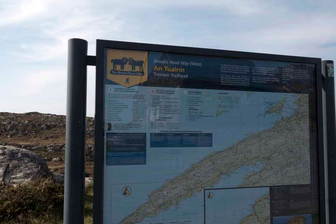
THE SHEEP’S HEAD WAY-TRAIL HEAD INFORMATION:
Below are some walking distances on the Sheep’s Head Way to guide you on the approximate distance and times (based on walking 3km per hour) are between Trailheads, where you will find further information.
Bantry to Dún Óir 20km / 6.5 hrs
Dún Óir to the Goat’s Path. 7km / 2.5 hrs
Goat’s Path to Tooreen(lighthouse) 14.8km / 5 hrs
Tooreen (lighthouse) to Black Gate 6km / 2 hrs
Black Gate to Kilcrohane 8km / 3 hrs
Kilcrohane to Ahakista 11km / 4 hrs
Ahakista to Durrus 21km / 6.5 hrs
Bantry to Drimoleague 23km / 7.5 hrs
Drimoleague to Kealkill 20-26 km / 6-8 hrs
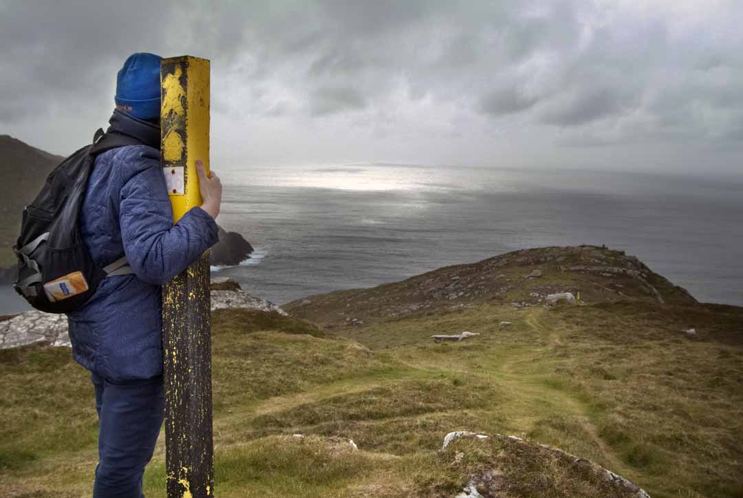
To follow the Sheep’s Head Way-just follow the Yellow Walking Man arrows. The Sheep’s Head Way is defined as a strenuous trail.
THE SHEEP’S HEAD WAY-TRAIL HEAD INFORMATION:
Below are some walking distances on the Sheep’s Head Way to guide you on the approximate distance and times (based on walking 3km per hour) are between Trailheads, where you will find further information.
Bantry to Dún Óir 20km / 6.5 hrs
Dún Óir to the Goat’s Path. 7km / 2.5 hrs
Goat’s Path to Tooreen(lighthouse) 14.8km / 5 hrs
Tooreen (lighthouse) to Black Gate 6km / 2 hrs
Black Gate to Kilcrohane 8km / 3 hrs
Kilcrohane to Ahakista 11km / 4 hrs
Ahakista to Durrus 21km / 6.5 hrs
Bantry to Drimoleague 23km / 7.5 hrs
Drimoleague to Kealkill 20-26 km / 6-8 hrs
To follow the Sheep’s Head Way-just follow the Yellow Walking Man arrows. The Sheep’s Head Way is defined as a strenuous trail.

Dursey Sound