Tralee Greenway
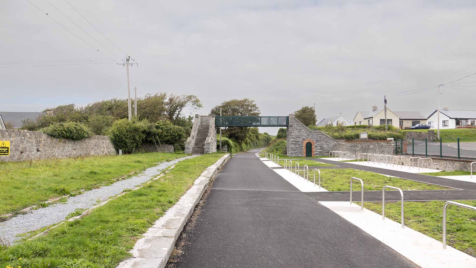
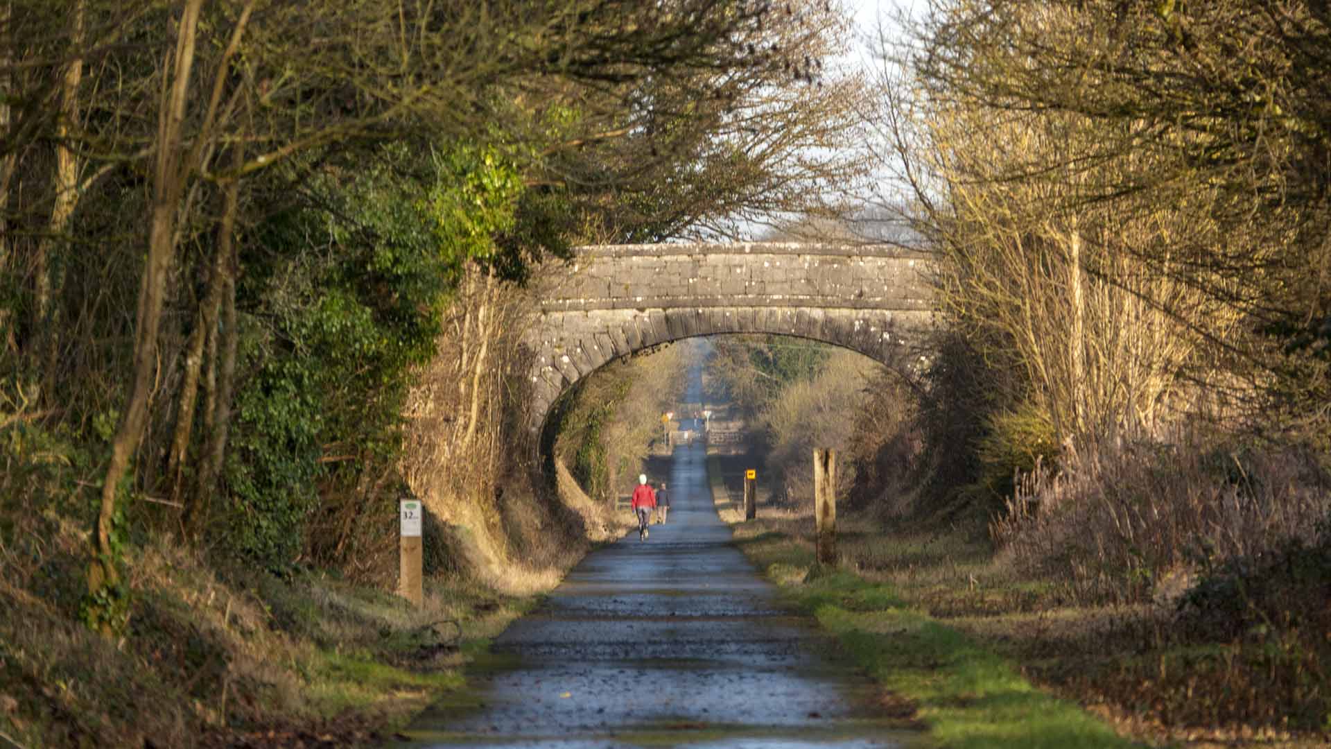
The Tralee-Fenit Greenway is 14k (9mi)
Tralee Greenway
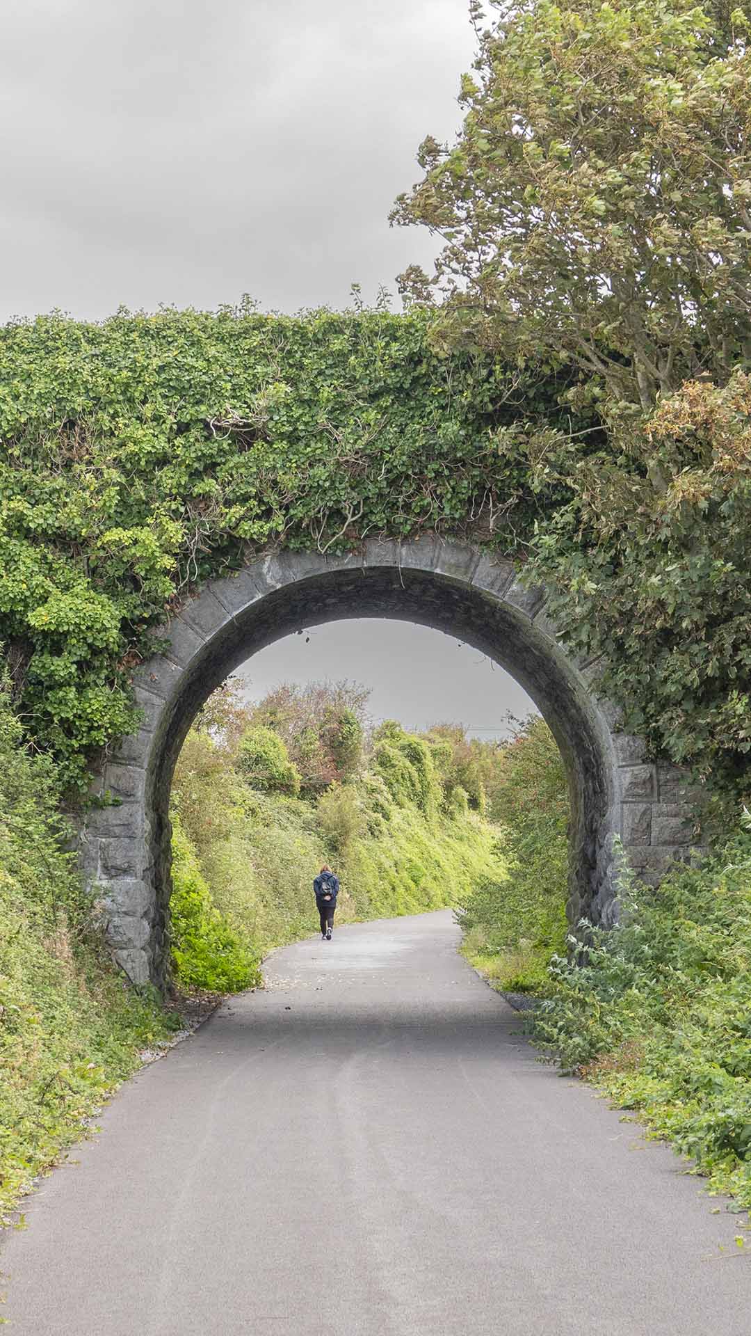
The Tralee-Fenit Greenway is 14k (9mi)
There has been a disconnection between these towns following the closure of the Great Southern railway line in 1978, but are now reconnected with this Tralee to Fenit Greenway.
The Kerry county council acquired the ownership of the disused railway line running from Limerick county bounds to Tralee and Fenit.
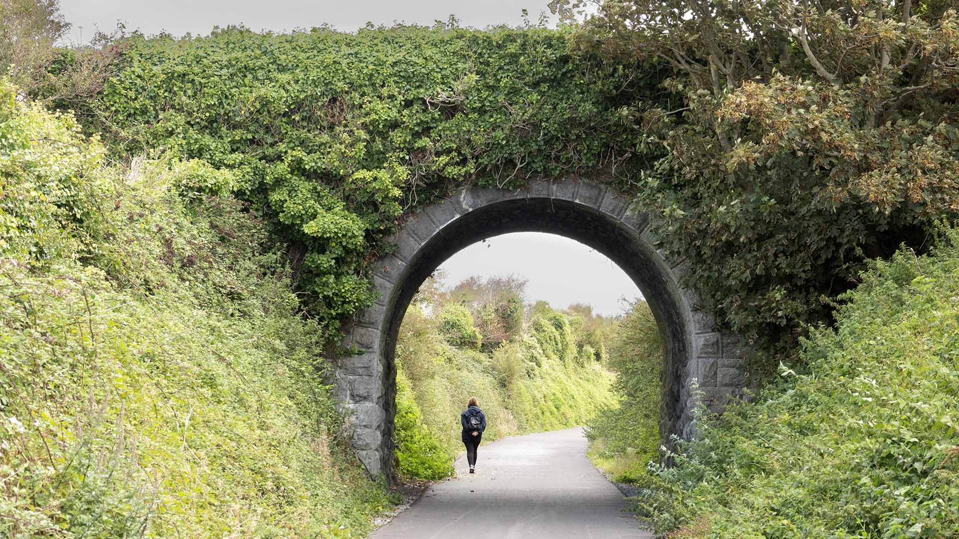
There has been a disconnection between these towns following the closure of the Great Southern railway line in 1978, but are now reconnected with this Tralee to Fenit Greenway.
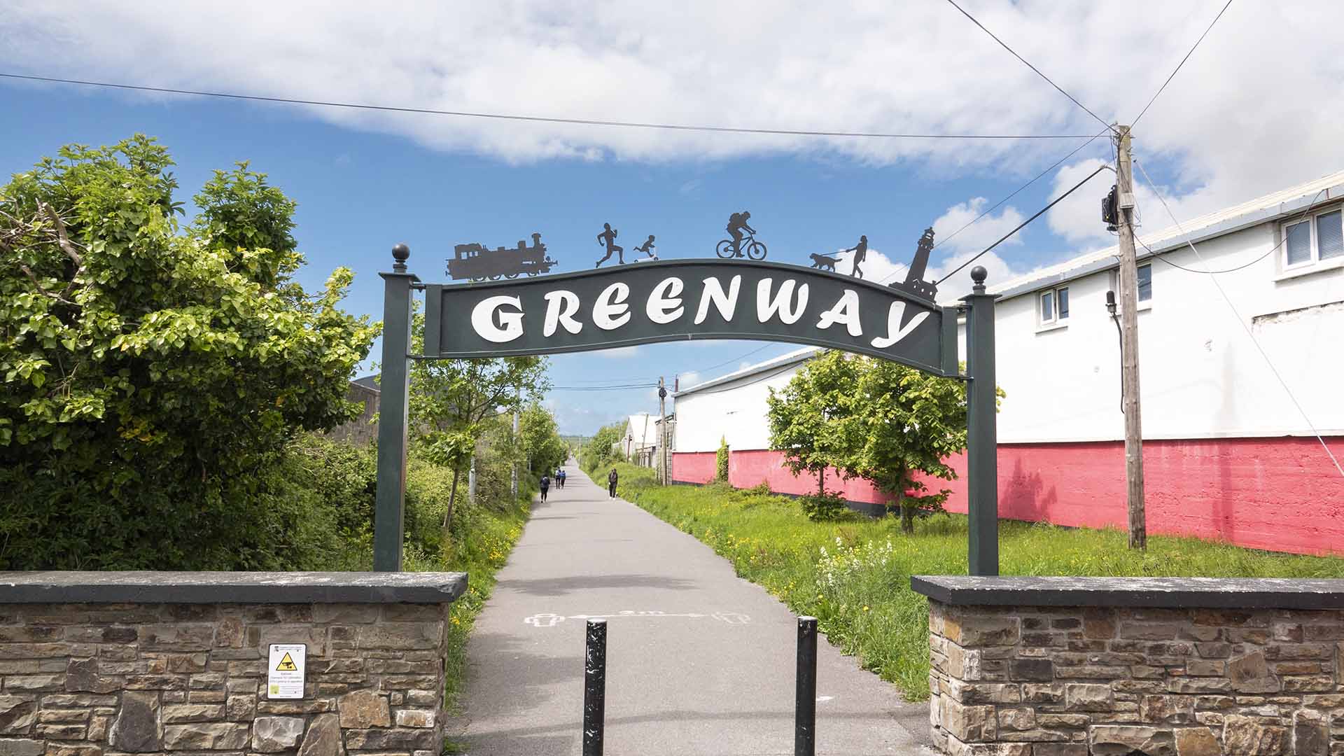
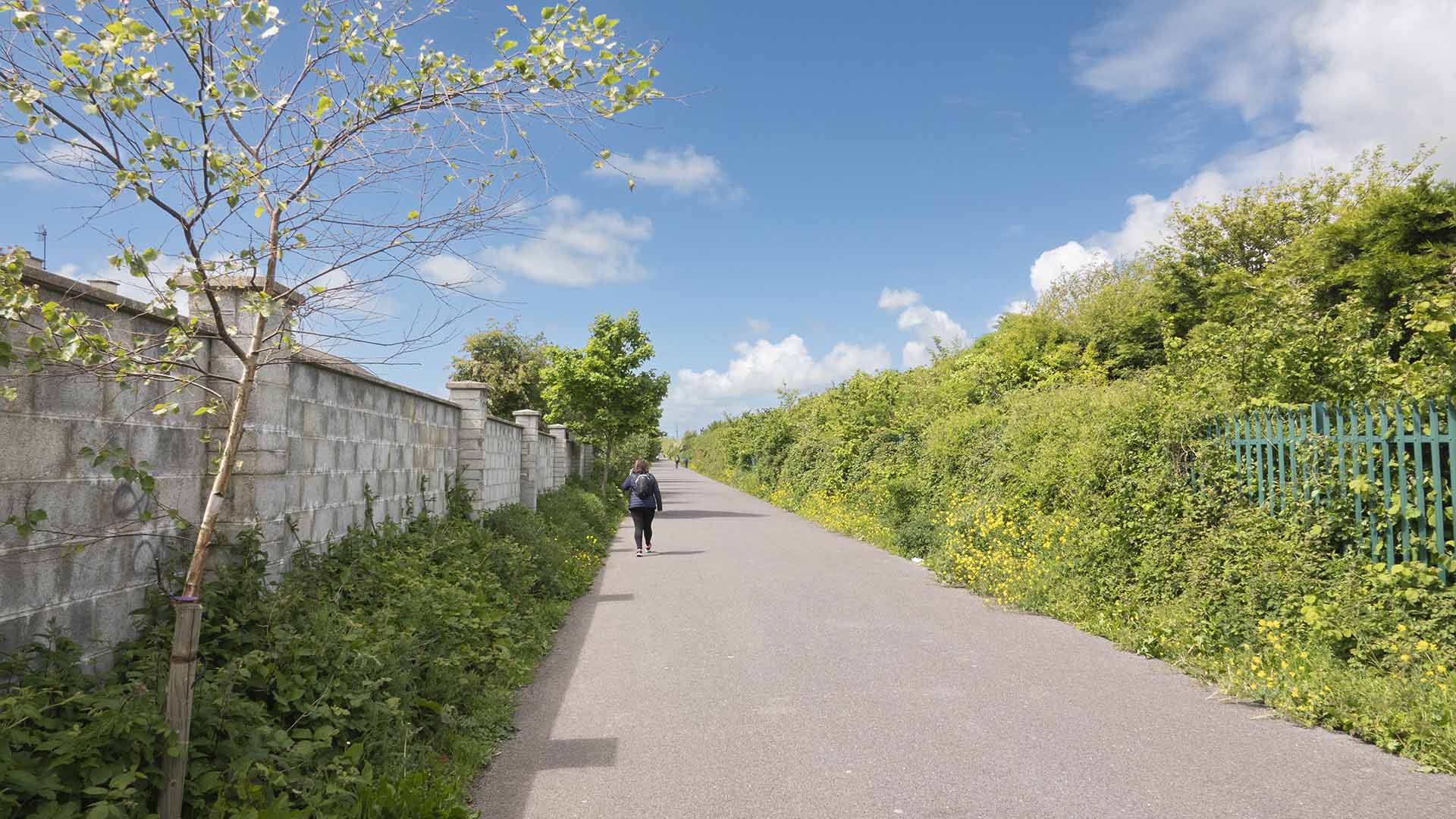
The Kerry County Council acquired the ownership of the disused railway line running from Limerick County Bounds to Tralee and Fenit.
But let’s check Tralee out first..
But let’s check Tralee out first….
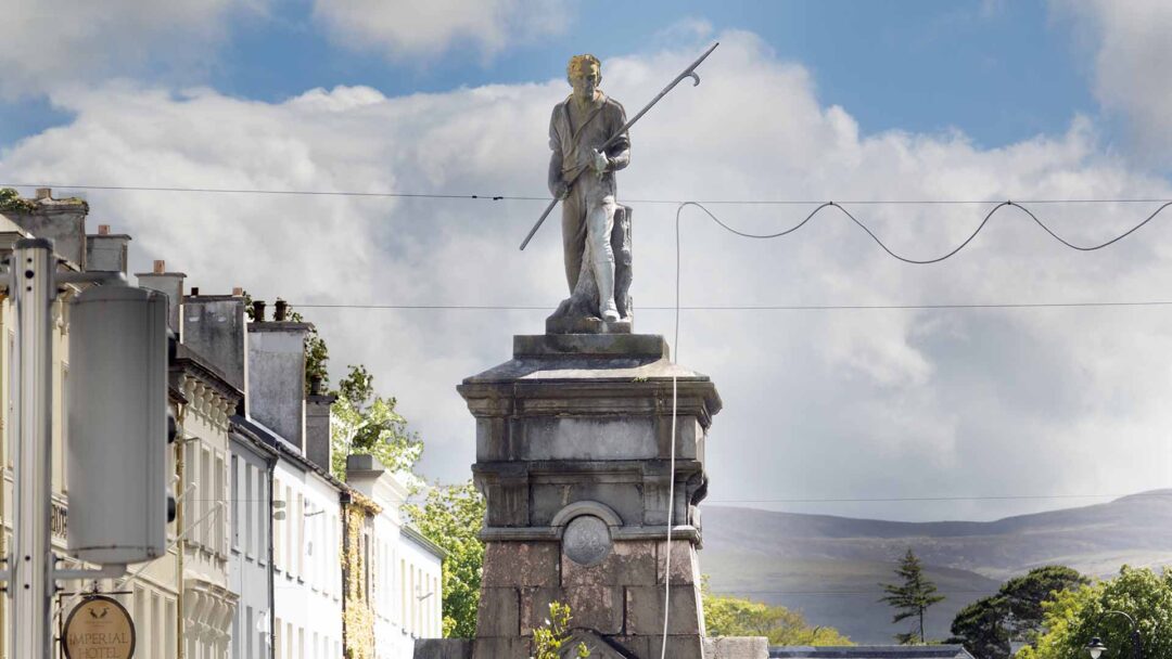
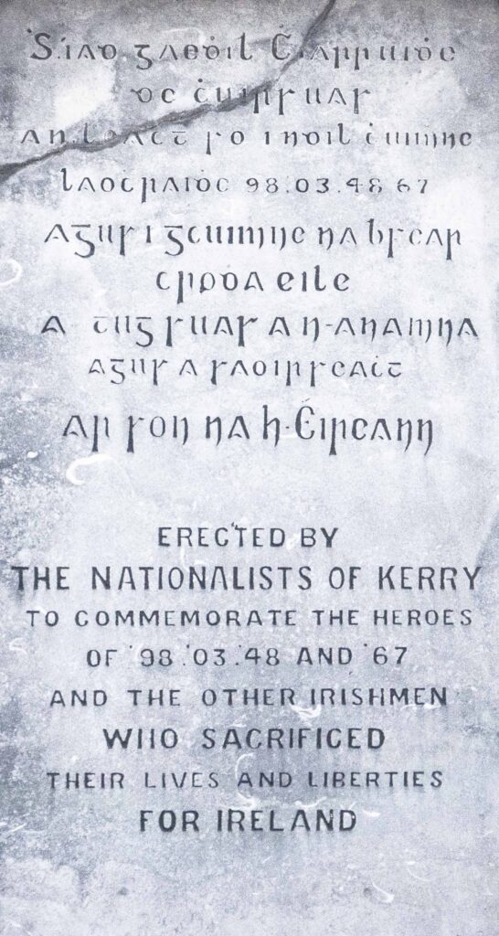
Christie Hennessy
Christie Hennessy
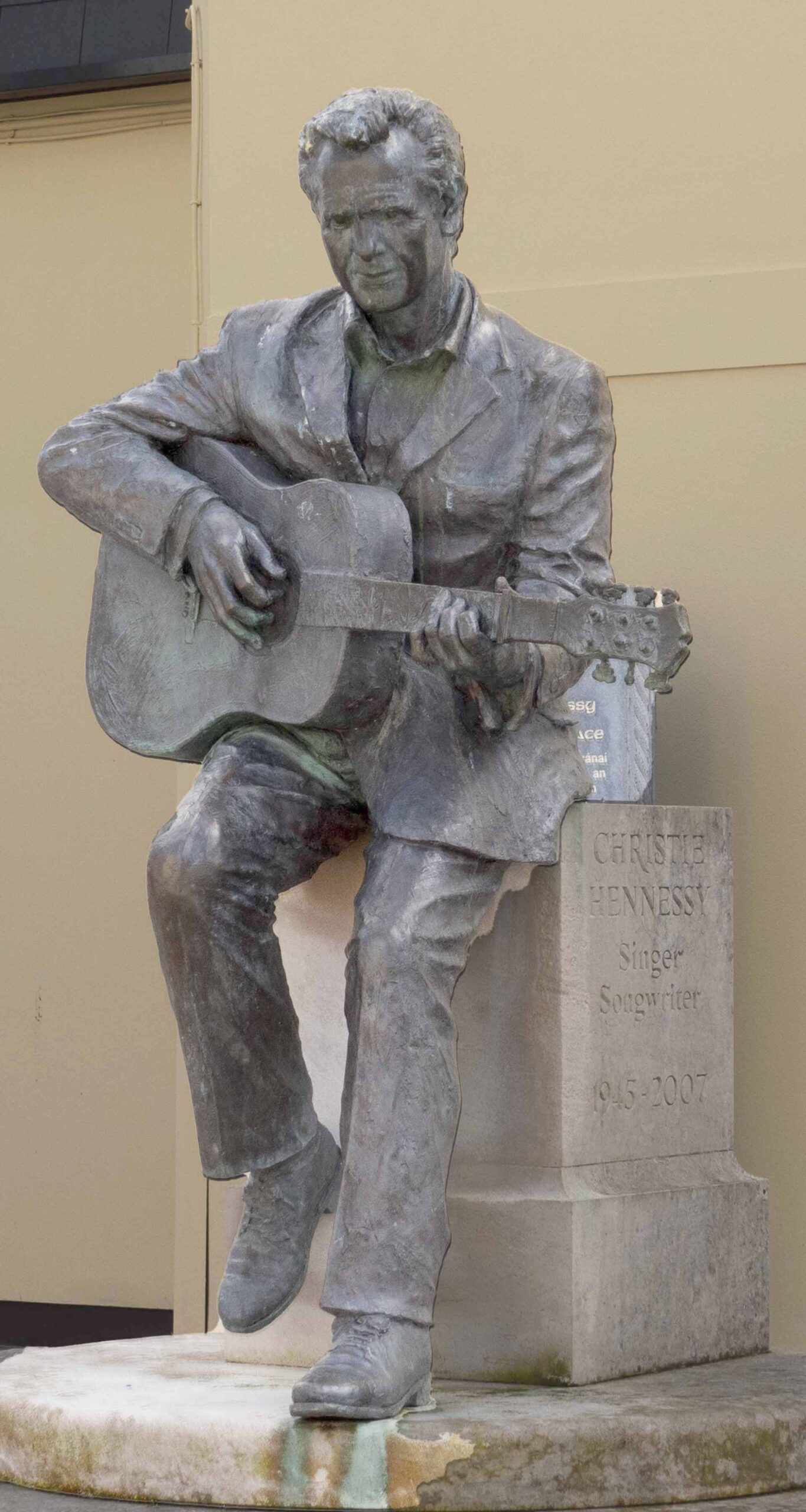
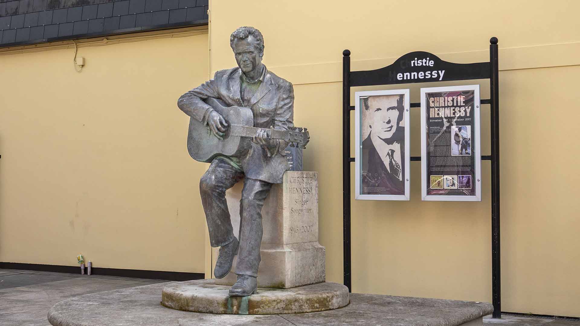
Christie Hennessy was an Irish folk singer and songwriter, died 11th December 2007 (aged 62)
Christie Hennessy was an Irish folk singer and songwriter, died 11th December 2007 (aged 62)
The Tralee to Fenit Greenway
The Tralee to Fenit Greenway
Walk the Line
Walk the Line
The project is a part of a major development project aimed at achieving the following:
The project is a part of a major development project aimed at achieving the following:
- Provide a family-friendly amenity allowing universal access for all classes of people, including the elderly and the disabled community.
- Act as a new link between Fenit, Tarlee, and the surrounding townlands to improve the social affairs of the local community.
- To improve both the existing and the future tourism trails throughout the County Kerry.
- They build and develop the economy by creating a safe walking and cycling amenity to ensure that both locals and tourists can cycle and walk freely in an environment that is not flocked by cars.
- It is a project that creates a clear positive economic impact on both the Fenit and Tralee by stimulating economic activities between them and the neighbouring town-lands.
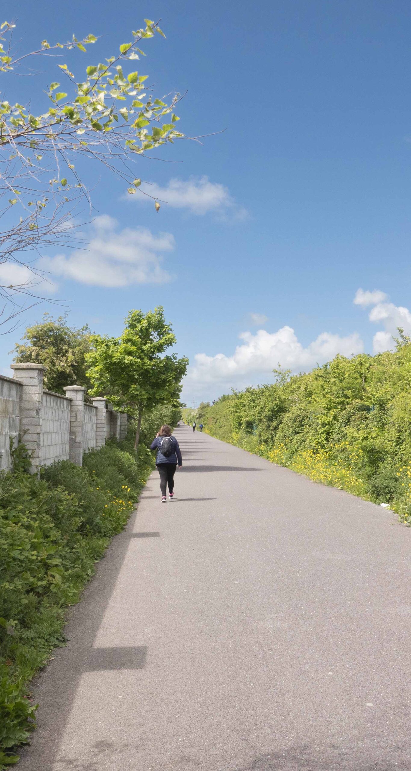
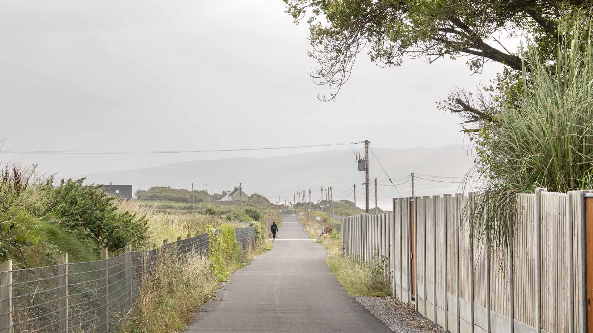
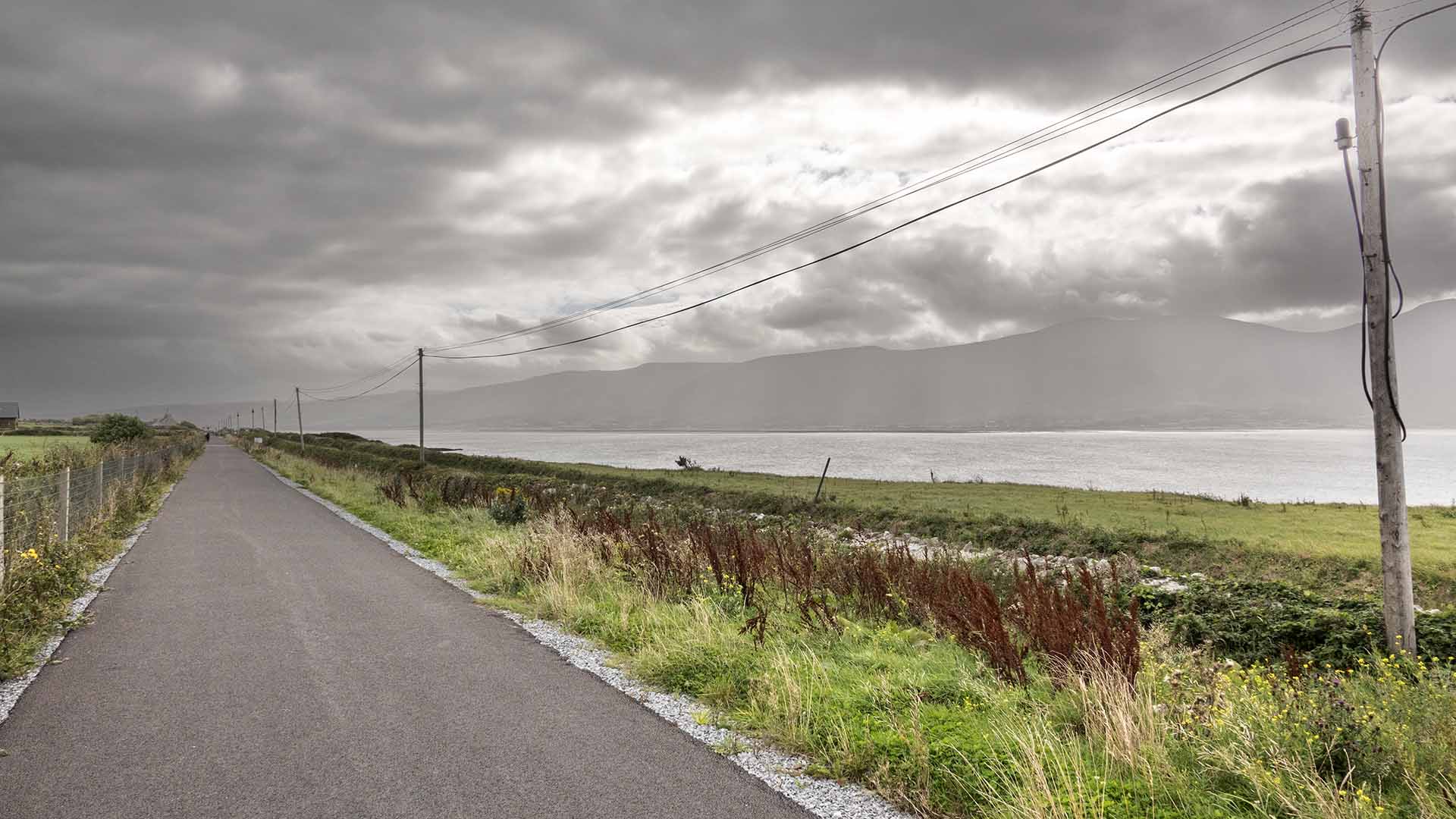
The public has celebrated the urban section of the Tralee-Fenit Greenway in a big way. The Southern Trail extension to Listowel ( in progress) and the Tralee/Fenit Greenway is a significant victory for everybody.
The public has celebrated the urban section of the Tralee-Fenit Greenway in a big way. The Southern Trail extension to Listowel ( in progress) and the Tralee/Fenit Greenway is a significant victory for everybody.
Welcome to Fenit
Welcome to Fenit
Looking for a sandy beach or to go open water swimming, although the water is ridiculously cold, even in Ireland’s so called summer please visit Fenit. Sailing and other water sports are also the rage on this Blue Flag beach. But if dry ground is your preference why not avail of the picnic tables and enjoy views of St Brendan with the Dingle peninsula as a backdrop. With a car-park close to the greenway to Tralee and public toilets what more do you need. Although we enjoyed Fenit in 1583 when a Spanish ship from the Armada surrendered here, all were hanged, no Cead Mille Failte for these 24 unfortunate souls, and during the Civil War Free State soldiers landed here in a bid to take Kerry.
Looking for a sandy beach or to go open water swimming, although the water is ridiculously cold, even in Ireland’s so called summer please visit Fenit. Sailing and other water sports are also the rage on this Blue Flag beach. But if dry ground is your preference why not avail of the picnic tables and enjoy views of St Brendan with the Dingle peninsula as a backdrop. With a car-park close to the greenway to Tralee and public toilets what more do you need. Although we enjoyed Fenit in 1583 when a Spanish ship from the Armada surrendered here, all were hanged, no Cead Mille Failte for these 24 unfortunate souls, and during the Civil War Free State soldiers landed here in a bid to take Kerry.
St Brendan the Navigator
St Brendan the Navigator
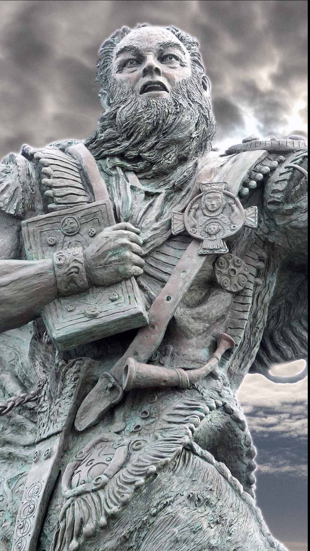
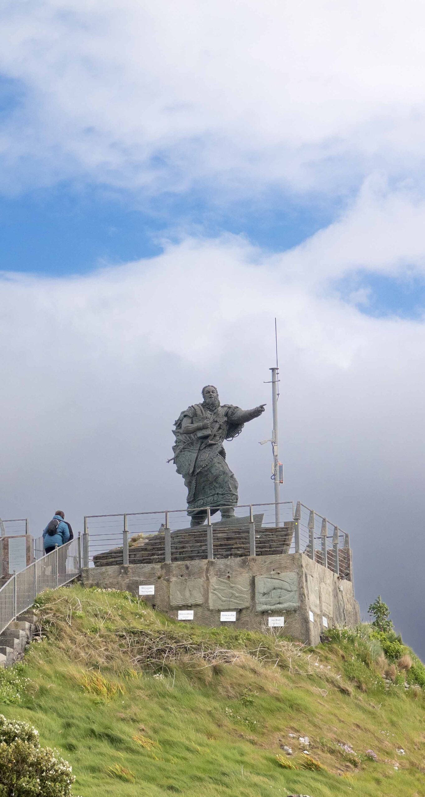
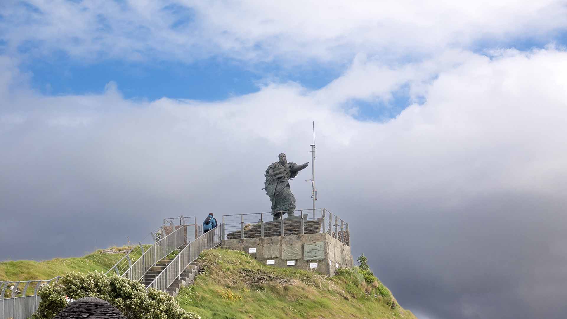
When you visit Feint perhaps by the Tralee to Fenit Greenway, St Brendan the Navigator is waiting on samphire Island, this statue stands high looking out to sea, and rumour has it, St Brendan he may have discovered America before Columbus, but anyway who knows.
When you visit Feint perhaps by the Tralee to Fenit Greenway, St Brendan the Navigator is waiting on samphire Island, this statue stands high looking out to sea, and rumour has it, St Brendan he may have discovered America before Columbus, but anyway who knows.
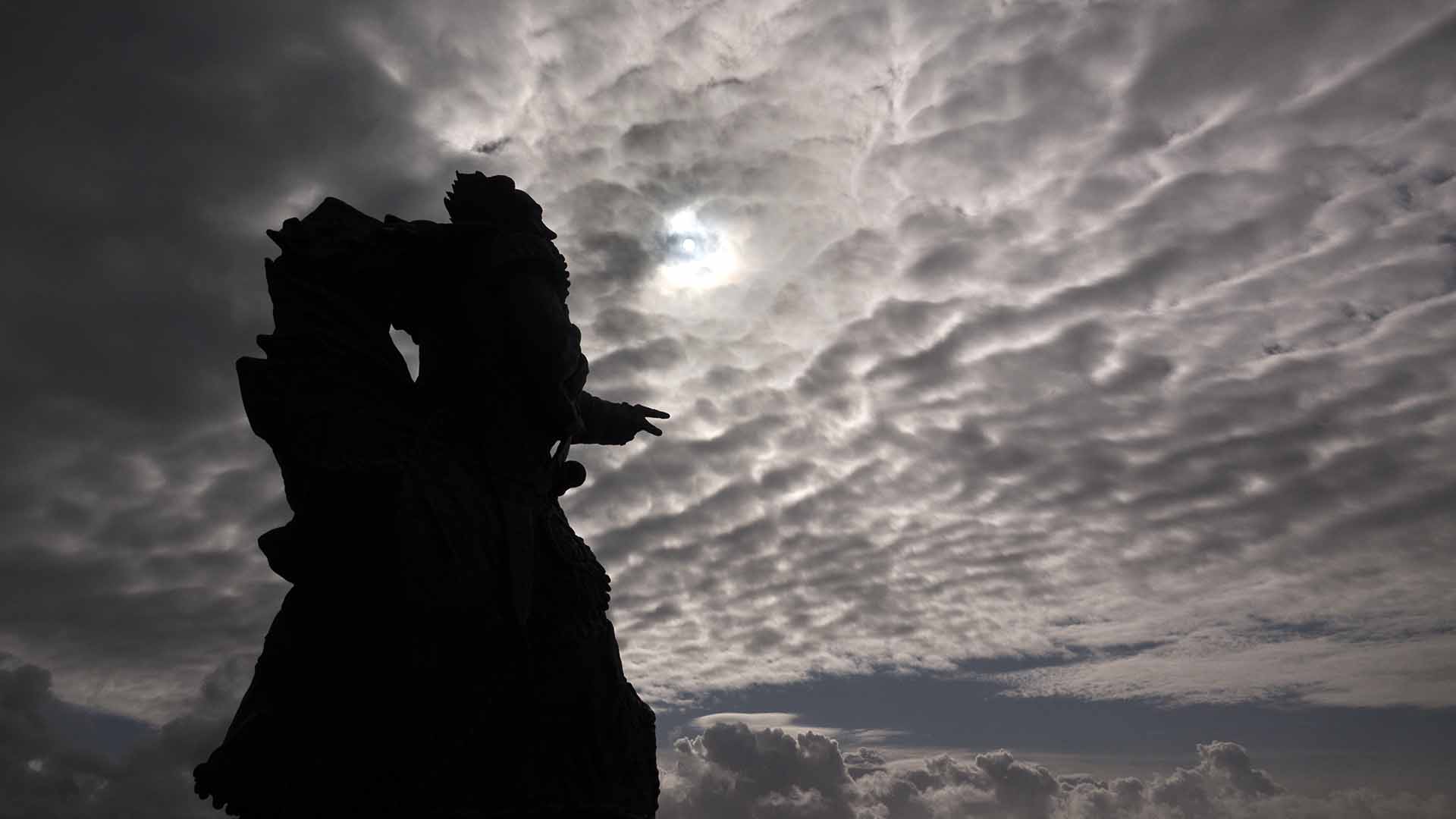
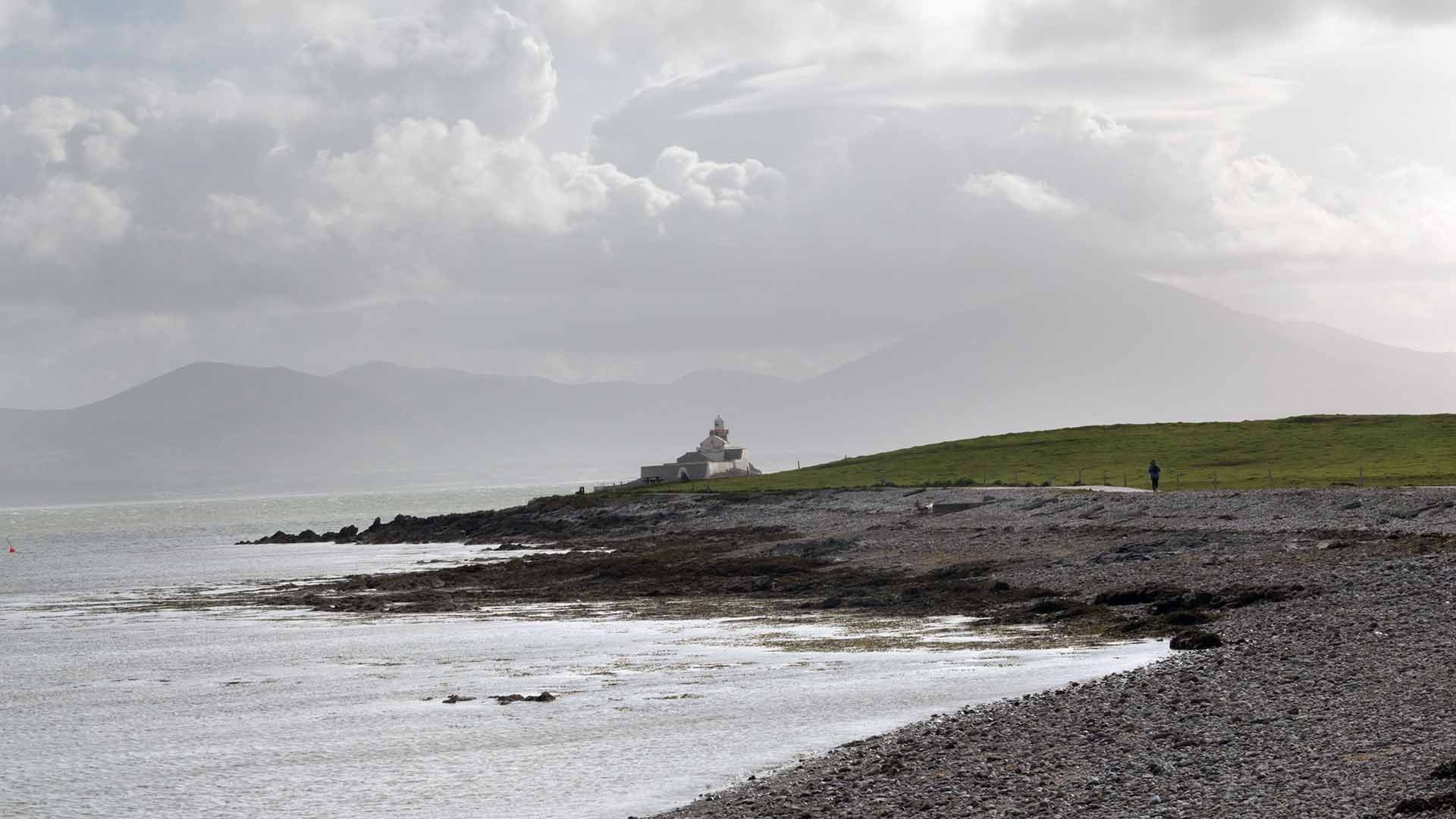
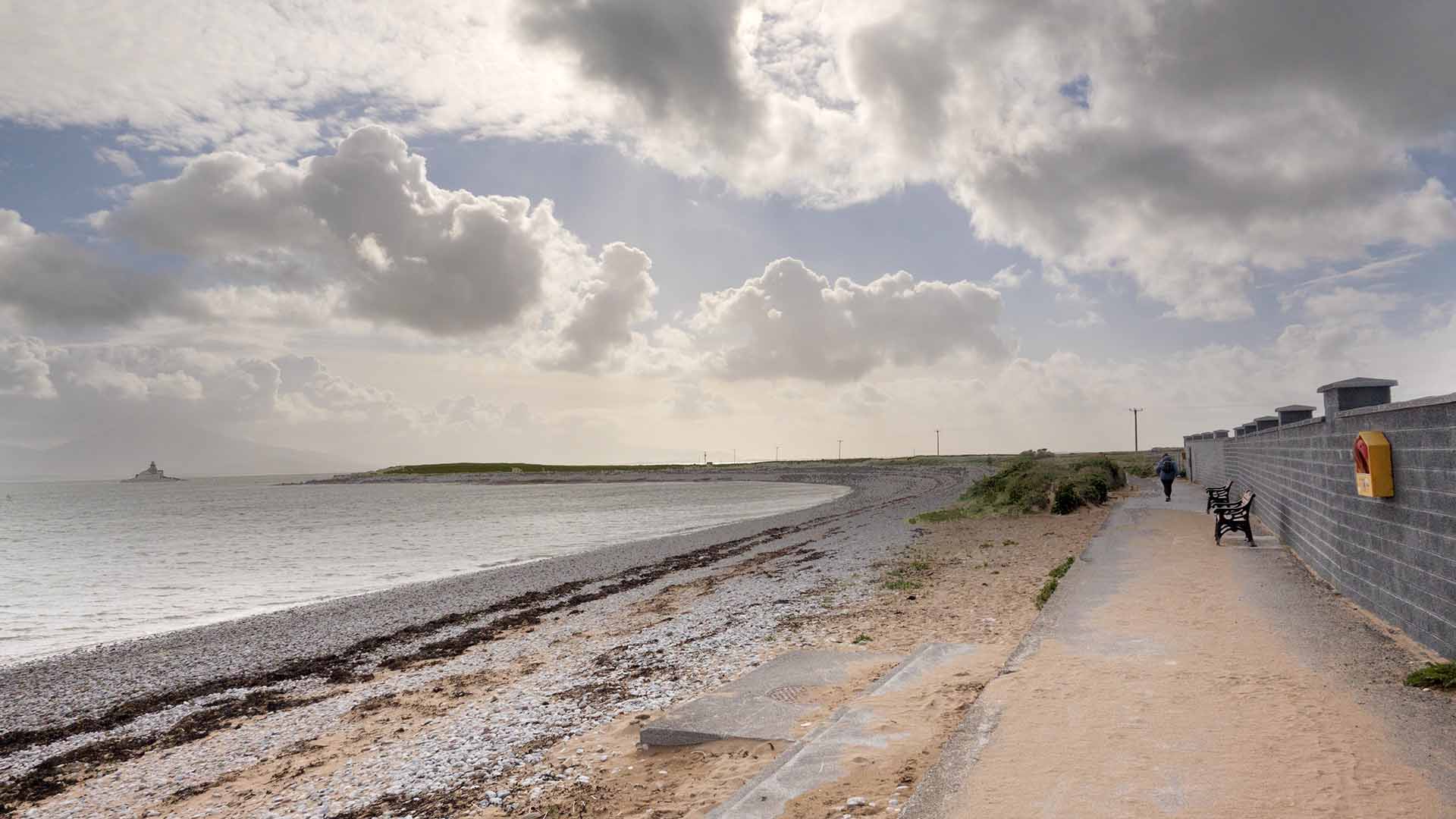
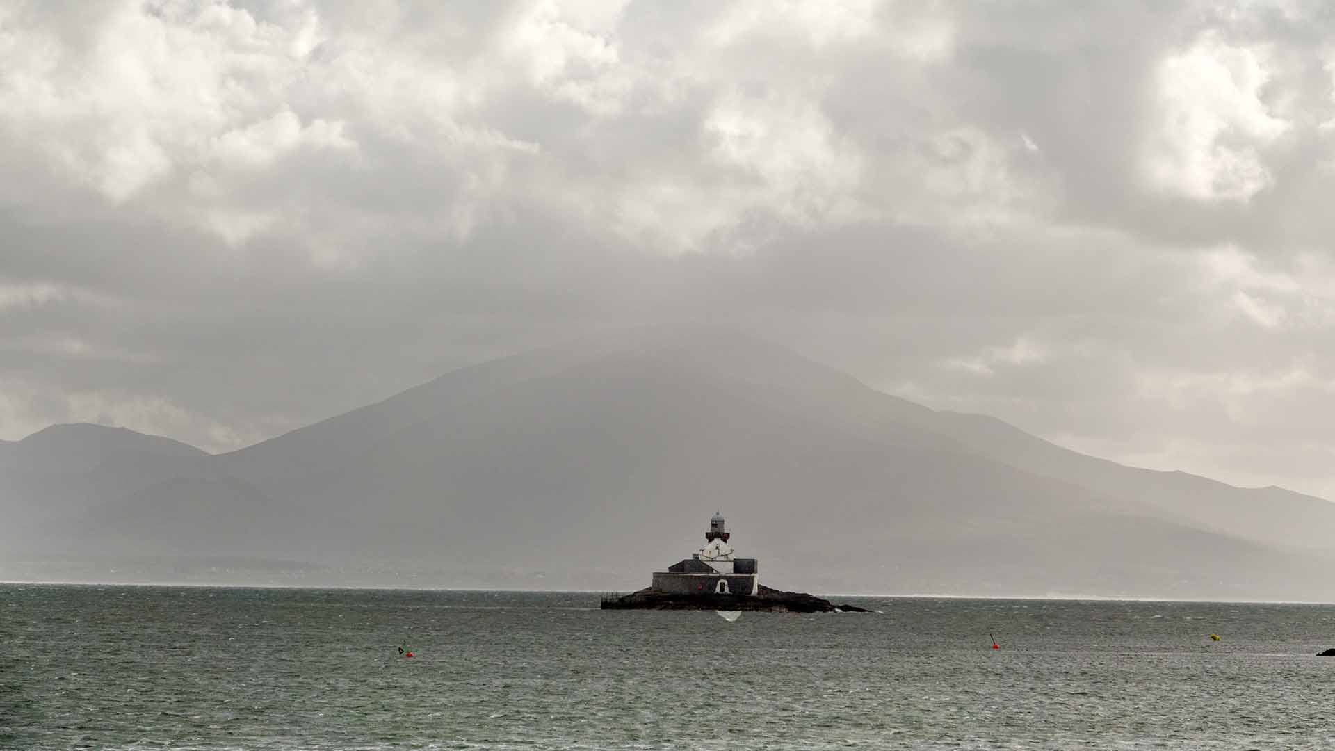
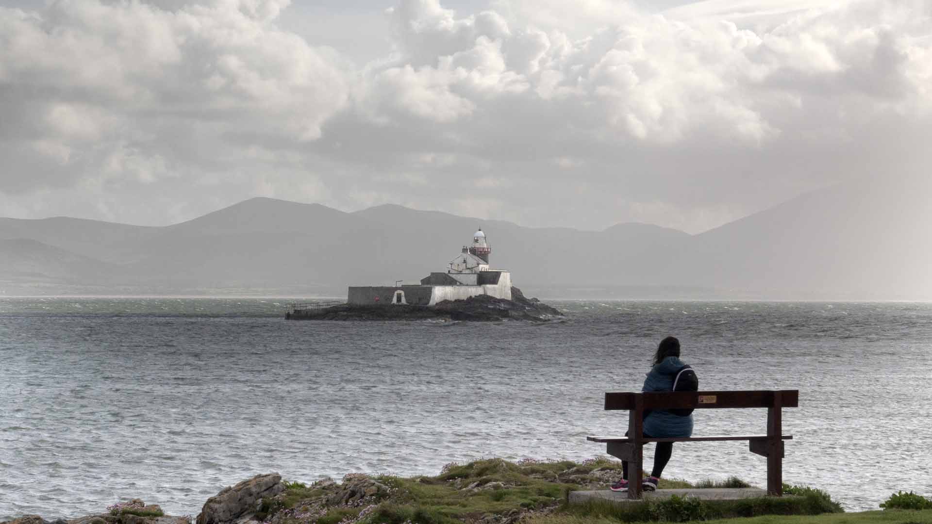
For a short walk with lovely scenery no better place, free parking near the old rail line, now a greenway to Tralee. We walked to the St Brendan statue, then around the coast to look at the lighthouse which is situated on a small rocky offshore island. Saw lots of dog walkers and people making use of the swimming platform, still open water swimming sounds as enjoyable as a cold shower, and you need to be a reasonable swimmer for sure.
For a short walk with lovely scenery no better place, free parking near the old rail line, now a greenway to Tralee. We walked to the St Brendan statue, then around the coast to look at the lighthouse which is situated on a small rocky offshore island. Saw lots of dog walkers and people making use of the swimming platform, still open water swimming sounds as enjoyable as a cold shower, and you need to be a reasonable swimmer for sure.
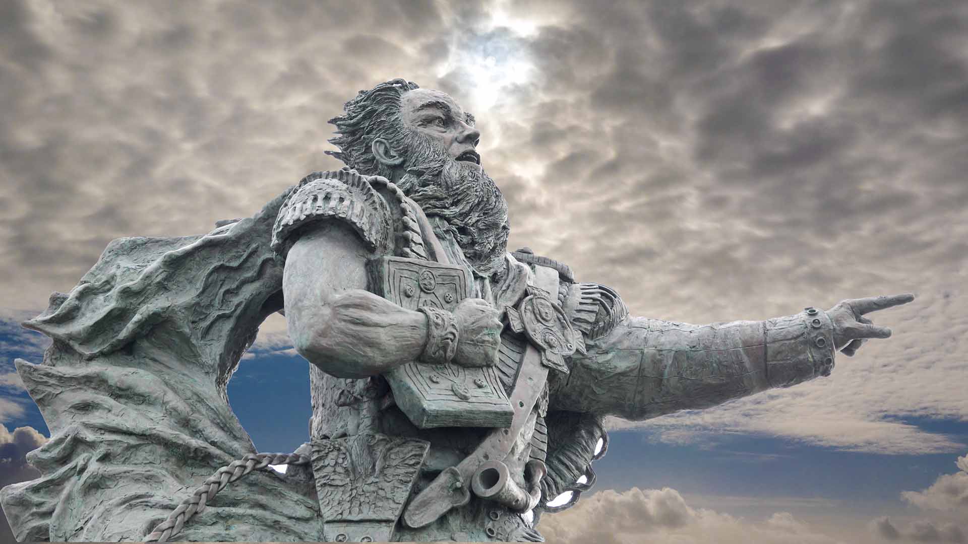
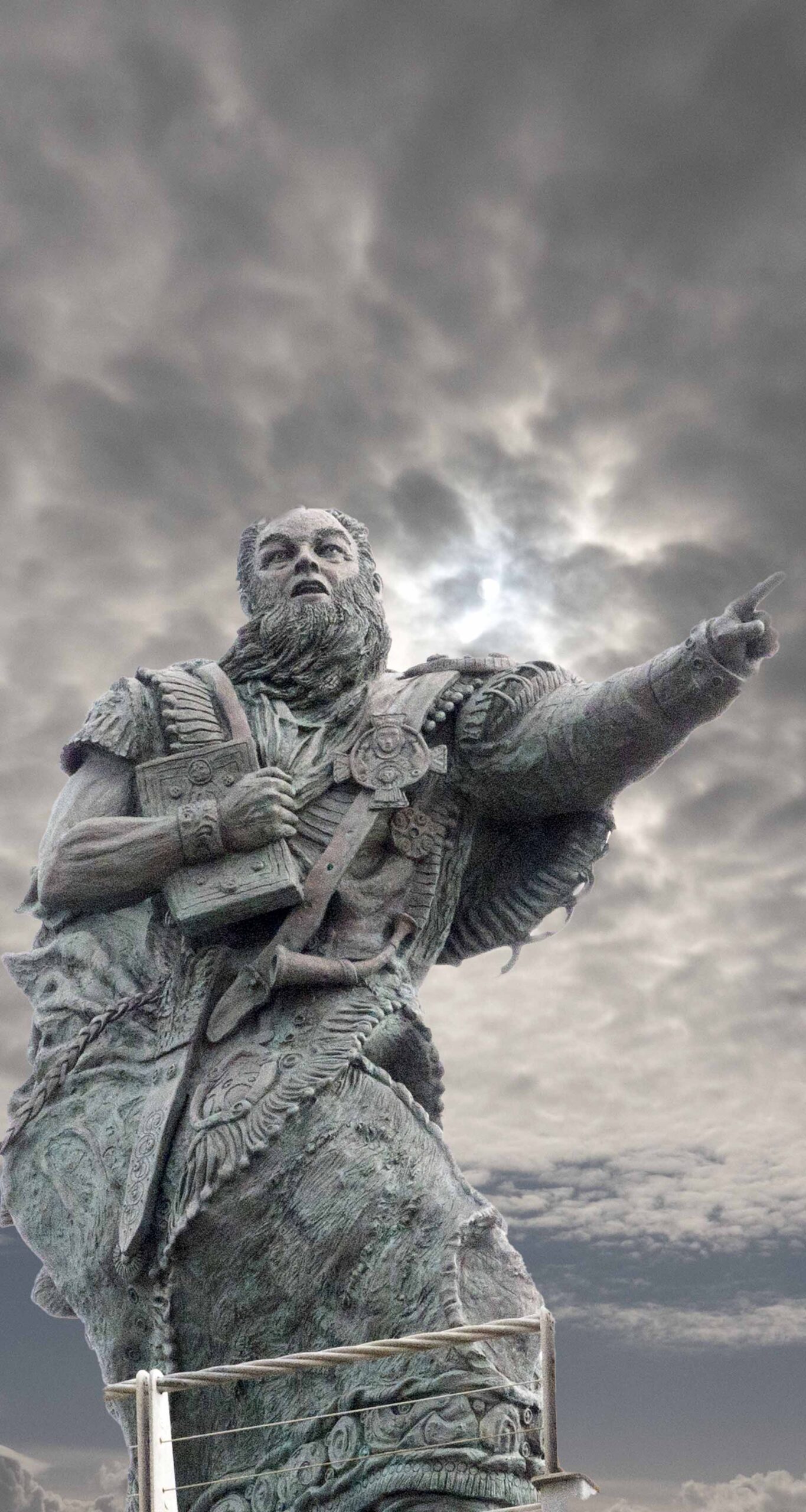
The statue is more than impressive, and the location is top notch, St Brendan was born nearby on Fenit Island. This two-ton bronze statue is 12 foot high, and was financed by locals. Unveiled sep 19th 2004, and designed by Taghg O’Donoghue.
The statue is more than impressive, and the location is top notch, St Brendan was born nearby on Fenit Island. This two-ton bronze statue is 12 foot high, and was financed by locals. Unveiled sep 19th 2004, and designed by Taghg O’Donoghue.
Fenit’s Busty Mermaid
Fenit’s Busty Mermaid
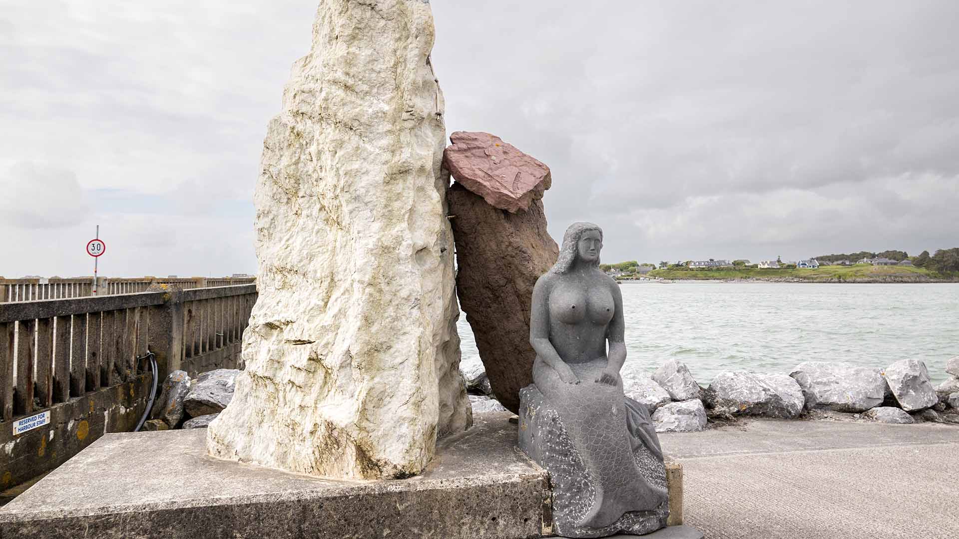
This mermaid statue was unveiled by Dick Spring T.D. on the 1st May 1998.
This mermaid statue was unveiled by Dick Spring T.D. on the 1st May 1998.
From above
From above
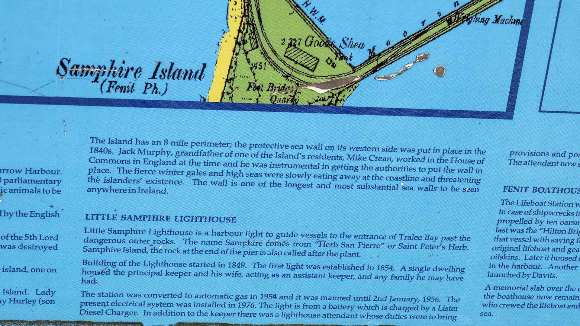
Dominating the island is the ruined tower-house (castle) at the north-east end, near Barrow Harbour. Tower houses were fortified structures built between c1450 and c1600. There was a £10 parliamentary grant towards the cost of construction of these single towers. It was common for domestic animals to be sheltered in the ground floor area while the occupants lived in the upper floors.
Dominating the island is the ruined tower-house (castle) at the north-east end, near Barrow Harbour. Tower houses were fortified structures built between c1450 and c1600. There was a £10 parliamentary grant towards the cost of construction of these single towers. It was common for domestic animals to be sheltered in the ground floor area while the occupants lived in the upper floors.
The owners of tower houses knew it was either victory or death when they were besieged by the English forces.
The owners of tower houses knew it was either victory or death when they were besieged by the English forces.
Fenit Island’s castle is linked with the Fitzmaurice’s, a Norman family and descendants of the 5th Lord of Kerry. (By 1200 AD a handful of Norman Lords ruled half the country). The castle was destroyed during the Irish Rebellion of 1641.
Fenit Island’s castle is linked with the Fitzmaurice’s, a Norman family and descendants of the 5th Lord of Kerry. (By 1200 AD a handful of Norman Lords ruled half the country). The castle was destroyed during the Irish Rebellion of 1641.
Two ‘’Mass Paths” lead to the church site. A story is told of two villages were on the island, one on the west and the other on the east with the chapel centrally locate between them.
Two ‘’Mass Paths” lead to the church site. A story is told of two villages were on the island, one on the west and the other on the east with the chapel centrally locate between them.
Sir John Locke, a general under Cromwell in the 17th Century, owned Fenit and Fenit Island. Lady Locke, his daughter went to Italy and married a duke, the Duke of St Arpoina. A Conway Hurler (son of Parson Hurley) bought the property for his son, John C Hurley, in the 19th Century.
Sir John Locke, a general under Cromwell in the 17th Century, owned Fenit and Fenit Island. Lady Locke, his daughter went to Italy and married a duke, the Duke of St Arpoina. A Conway Hurler (son of Parson Hurley) bought the property for his son, John C Hurley, in the 19th Century.
The Island has an 8 mile perimeter; the protective sea wall on its western side was put in place in the 1840s. Jack Murphy, grandfather of one of the Island’s residents, Mike Crean, worked in the House of Commons in England at the time and he was instrumental in getting the authorities to put the wall in place. The fierce winter gales and high seas were slowly eating away at the coastline and threatening the islander’s existence. The wall is one of the longest and most substantial sea walls to be seen anywhere in Ireland.
The Island has an 8 mile perimeter; the protective sea wall on its western side was put in place in the 1840s. Jack Murphy, grandfather of one of the Island’s residents, Mike Crean, worked in the House of Commons in England at the time and he was instrumental in getting the authorities to put the wall in place. The fierce winter gales and high seas were slowly eating away at the coastline and threatening the islander’s existence. The wall is one of the longest and most substantial sea walls to be seen anywhere in Ireland.
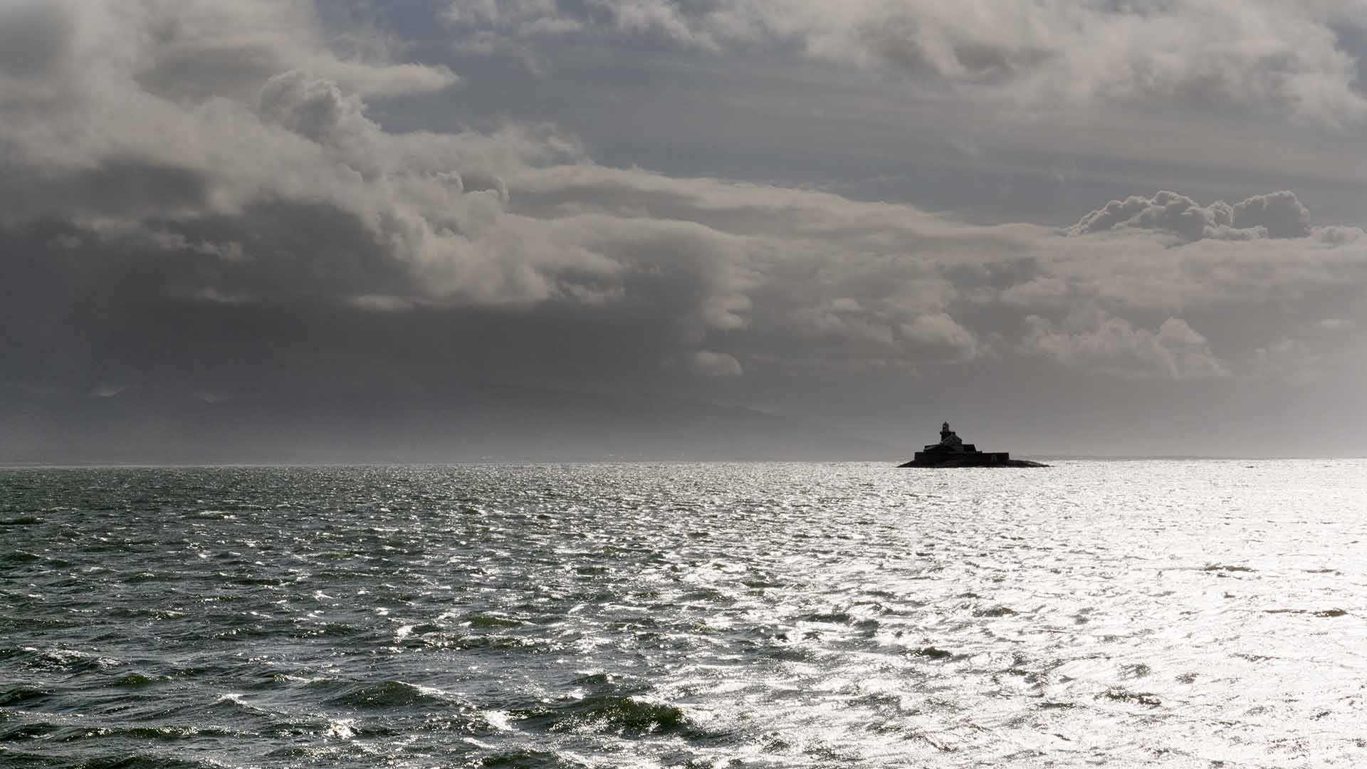
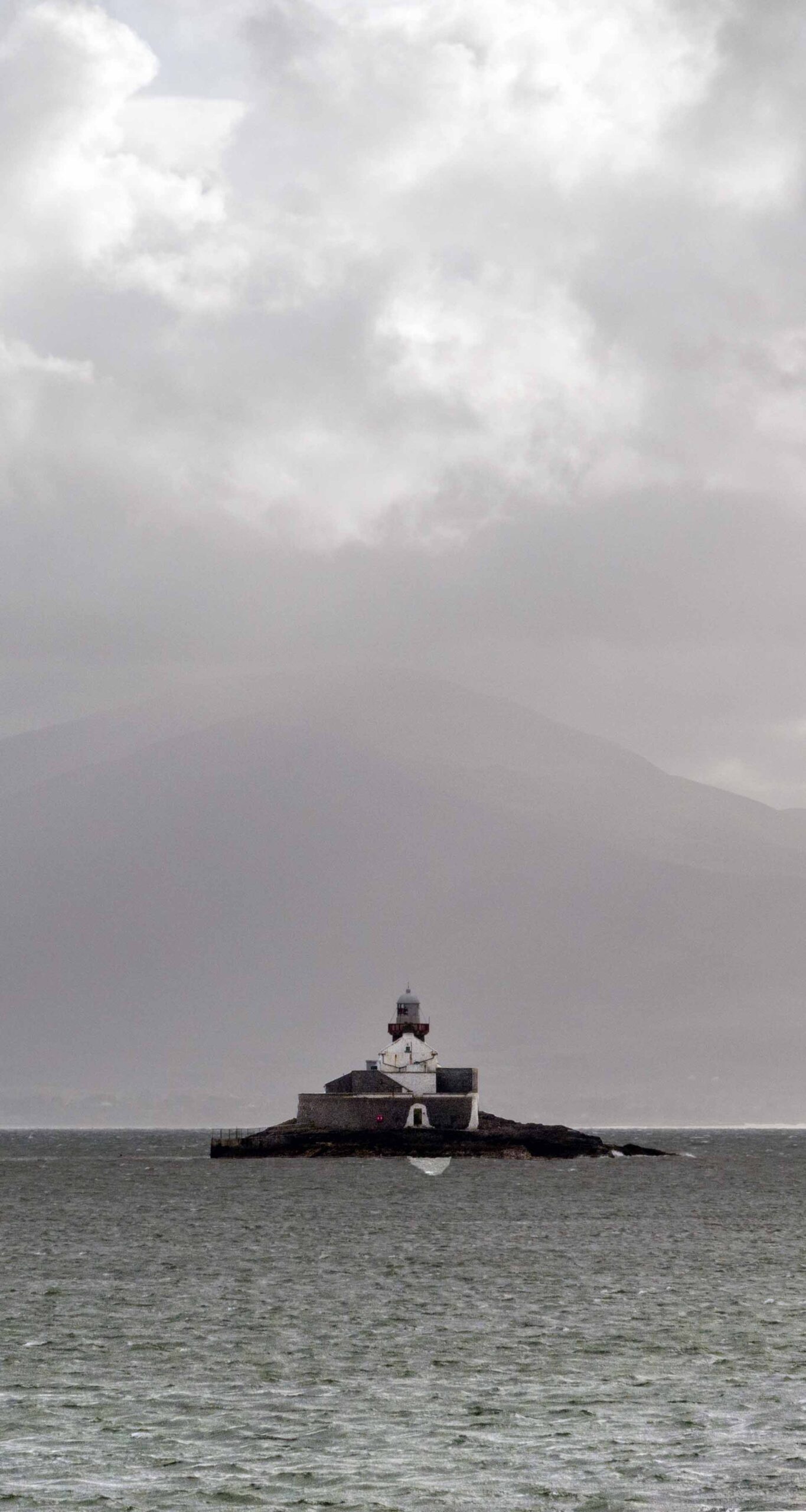
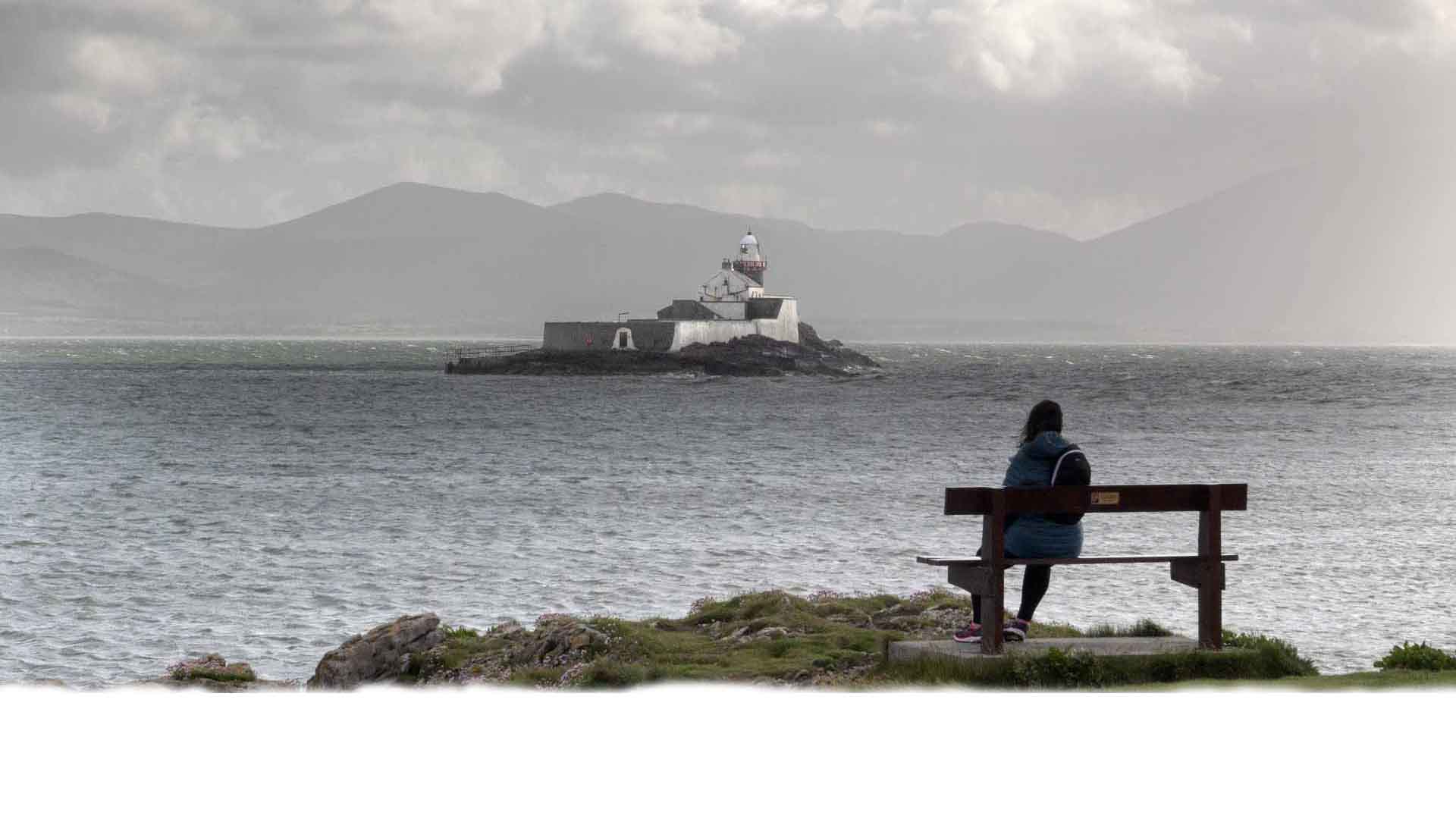
Little Samphire Lighthouse
Little Samphire Lighthouse
The Lifeboat Station was established in 1879 so that a boat would be available in case of shipwrecks in the bays of Tralee and Ballyheigue. The first boat was propelled by ten oarsmen and sails. Seven boats served at the station. The last was the “Hilton Briggs” which was removed in 1969. Local people credit that vessel with saving fifty four lives. The Boathouse was erected to hold the original lifeboat and gear which included lifebelts, ropes, flares. rockets and oilskins. Later it housed one of the tenders for the lifeboat which was moored in the harbour. Another tender was kept at the steps on the pier. This was launched by Davits.
The Lifeboat Station was established in 1879 so that a boat would be available in case of shipwrecks in the bays of Tralee and Ballyheigue. The first boat was propelled by ten oarsmen and sails. Seven boats served at the station. The last was the “Hilton Briggs” which was removed in 1969. Local people credit that vessel with saving fifty four lives. The Boathouse was erected to hold the original lifeboat and gear which included lifebelts, ropes, flares. rockets and oilskins. Later it housed one of the tenders for the lifeboat which was moored in the harbour. Another tender was kept at the steps on the pier. This was launched by Davits.
A memorial slab over the door commemorates Admiral S. Butcher R.N. but the boathouse now remains as a memorial to the brave men of this locality who crewed the lifeboat and risked their lives so that others might be saved at sea.
A memorial slab over the door commemorates Admiral S. Butcher R.N. but the boathouse now remains as a memorial to the brave men of this locality who crewed the lifeboat and risked their lives so that others might be saved at sea.

The Waterford Greenway
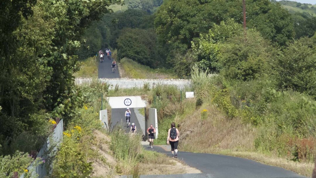

The Great Eastern Greenway
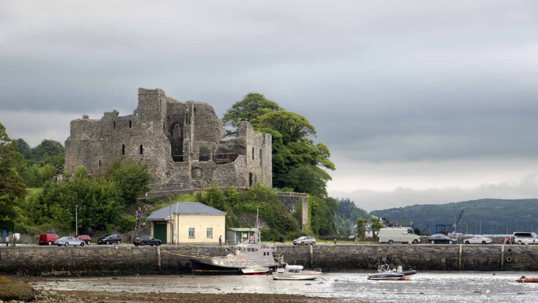

The Limerick Greenway
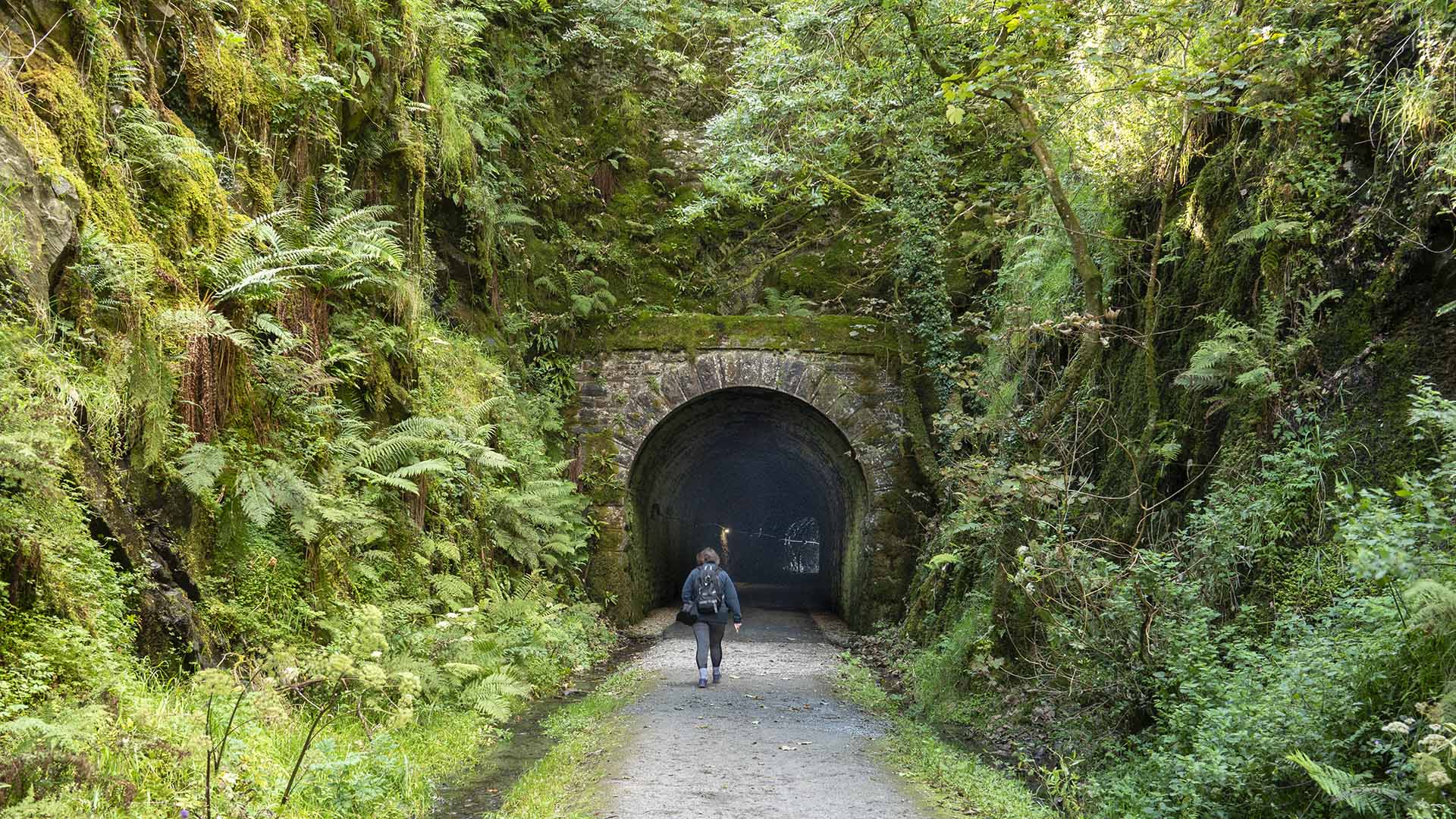

The Royal Canal Greenway
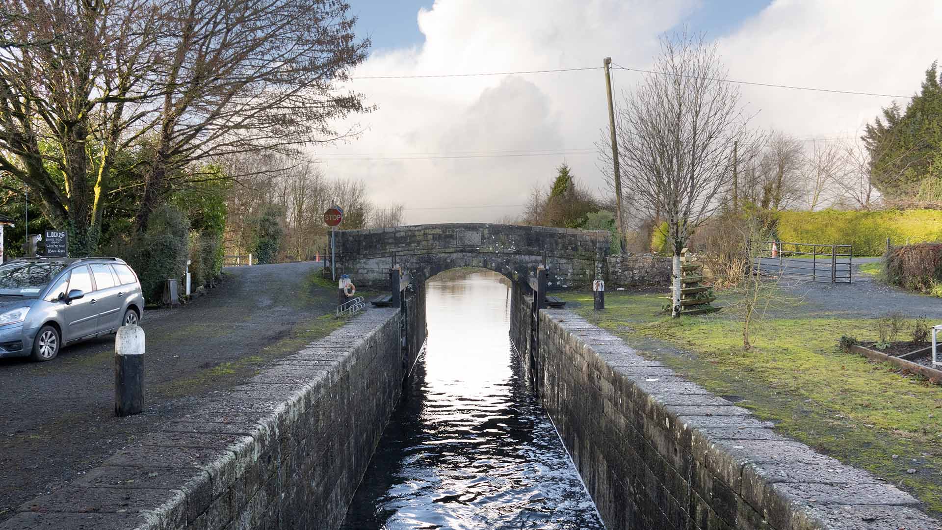

The Athlone Greenway

The Cork Harbour Greenway
