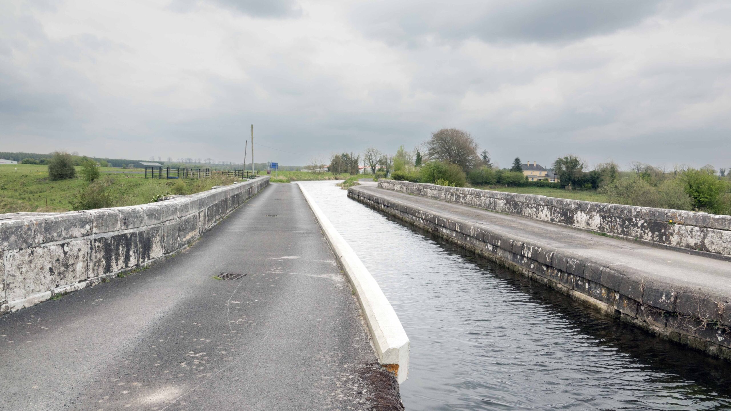
Royal Canal Greenway
Royal Canal Greenway
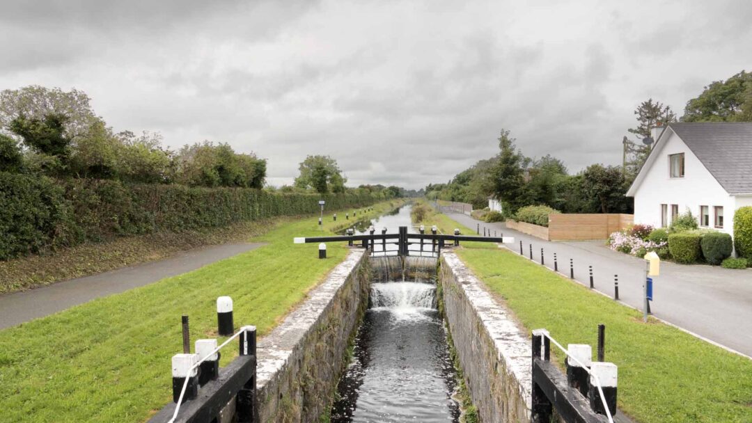
Stretching from the river Liffey (Dublin) to the Shannon river at Cloondara itʼs hats off to these engineers that built this canal. This canal was built between 1790 and 1817, being the super highway of its day, used for the transportation of people and heavy goods. The mid 1800ʼs being itʼs hay day, but the world moved on and rail and road gave businesses better options, causing closure in the 1960ʼs. The canal went unloved for many years, but because of the Royal Canal Amenity Group, this wonderful canal has a new life as a Greenway or Blueway. So get on your bike and enjoy Ireland’s longest greenway all 145km of it.
Stretching from the river Liffey (Dublin) to the Shannon river at Cloondara itʼs hats off to these engineers that built this canal. This canal was built between 1790 and 1817, being the super highway of its day, used for the transportation of people and heavy goods. The mid 1800ʼs being itʼs hay day, but the world moved on and rail and road gave businesses better options, causing closure in the 1960ʼs. The canal went unloved for many years, but because of the Royal Canal Amenity Group, this wonderful canal has a new life as a Greenway or Blueway. So get on your bike and enjoy Ireland’s longest greenway all 145km of it.
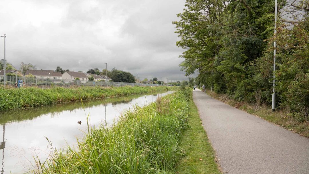
But we can jump on and off !
1 Maynooth to Kilcock (6km).
2 Kilcock to Enfield (13km)
3 Enfield to Longwood (10).
4 Longwood to Killucan (15km).
5 Killucan to McNeadʼs Bridge (4km).
6 McNeadʼs Bridge to Mullingar (12km)
7 Mullingar to Coolnahay Harbour (11km)
8 Coolnahay Harbour to Ballynacarrigy (9km)
9 Ballynacarrigy to Abbeyshrule (9km)
10 Abbeyshrule to Ballymahon (9km)
11 Ballymahon to Keenagh (9km)
12 Keenagh to Cloondara (15km)
13 Cloondara to Longford (15km)
14 Longford
But we can jump on and off !
1 Maynooth to Kilcock (6km)
2 Kilcock to Enfield (13km)
3 Enfield to Longwood (10km)
4 Longwood to Killucan (15km)
5 Killucan to McNeadʼs Bridge (4km)
6 McNeadʼs Bridge to Mullingar (12km)
7 Mullingar to Coolnahay Harbour (11km)
8 Coolnahay Harbour to Ballynacarrigy (9km)
9 Ballynacarrigy to Abbeyshrule (9km)
10 Abbeyshrule to Ballymahon (9km)
11 Ballymahon to Keenagh (9km)
12 Keenagh to Cloondara (15km)
13 Cloondara to Longford (15km)
14 Longford
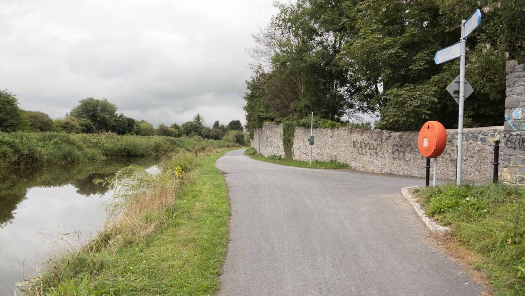
The alluring Royal Canal Greenway is a 130-km track, ideally suited for cyclists, runners, and walkers. It is not a track with the highest difficulty levels. People of all ages and fitness levels can use this greenway. Running along the towpath of the 200-year old Royal Canal, this track offers a wide range of attractions and sites for explorers.
The alluring Royal Canal Greenway is a 130-km track, ideally suited for cyclists, runners, and walkers. It is not a track with the highest difficulty levels. People of all ages and fitness levels can use this greenway. Running along the towpath of the 200-year old Royal Canal, this track offers a wide range of attractions and sites for explorers.
From the starting point Maynooth to Cloondara in Longford County, this greenway offers a perfect feast to your senses. You may need four to five days to complete the entire route. Many people divide the greenway into small sections of their preferences to avoid the strain of walking or cycling the complete trail at a stretch. It is known as the longest greenway in Ireland.
From the starting point Maynooth to Cloondara in Longford County, this greenway offers a perfect feast to your senses. You may need four to five days to complete the entire route. Many people divide the greenway into small sections of their preferences to avoid the strain of walking or cycling the complete trail at a stretch. It is known as the longest greenway in Ireland.
Maynooth to Kilcock (6km)
Maynooth to Kilcock (6km)
Maynooth starts this greenway the trail starts close to the train station but not in the train station, but on the other side of the canal and has its own car park. But take time to wander Maynooth Ireland’s only university town.
Maynooth starts this greenway the trail starts close to the train station but not in the train station, but on the other side of the canal and has its own car park. But take time to wander Maynooth Ireland’s only university town.
Kilcock to Enfield (13km)
Kilcock to Enfield (13km)
From Above
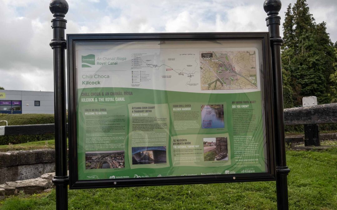
Kilcock, a canal-side town, derives its name from Saint Coca who founded a church beside the Rye River in the 6th century. Since the late 12th century, markets and fairs were held regularly in Kilcock – initially in the Market Square and then moving to the ‘Fair- Green’ as they increased in size. The famous fair continued until late 1950s. The railway arrived in 1847 and closed a year later as it was on a 1% gradient which was difficult for the locomotives of the day to start off from! A new station opened in 1850 and was in use until 1963. The current station opened in 1998.
Kilcock Art Gallery was established in 1978. The gallery is a welcoming place with an easy and friendly atnosphere and a real treasure trove of both established and new artistic talent catering for the varying tastes of all collectors. Make time to visit Larchill Arcadian Garden, the only surviving, near complete, ‘Ferm Ornée’ (Ornamental Farm) of it’s type in Europe.The subject of poet Teresa Braydon’s song, ‘The Old Bog Road’ is 4.5km west from Kilcock on the N4 road.
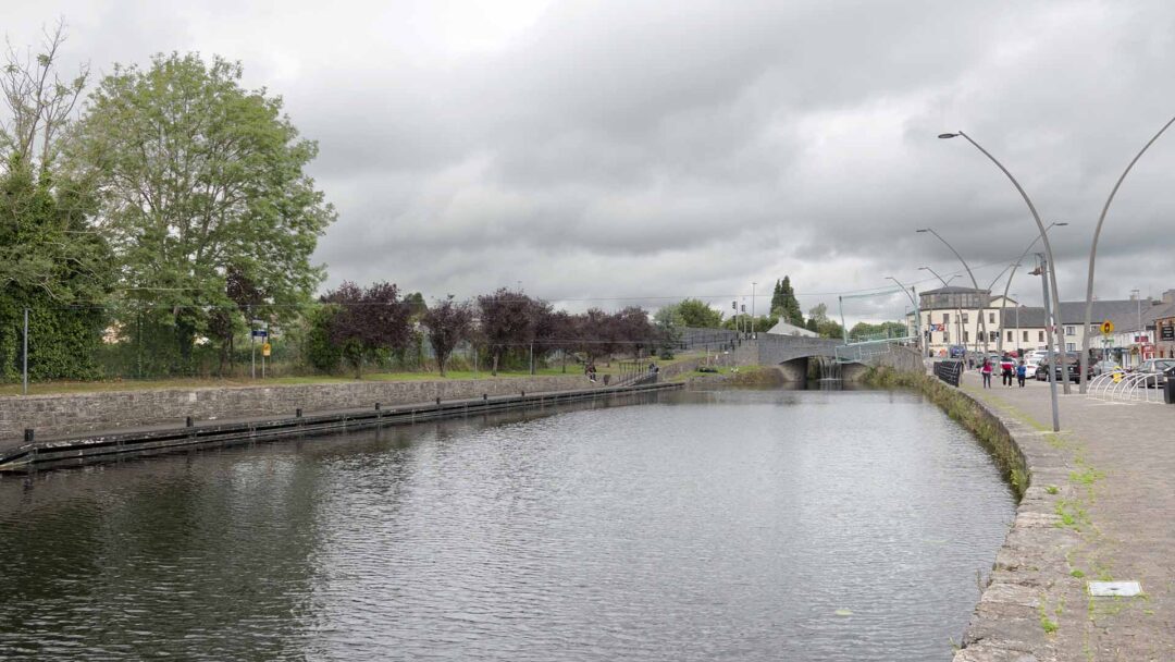
Kilcock Harbour is a vibrant hub for water sports and home of the Kilcock Canoe Polo Club. Founded in 1998 from a few like-minded people meeting, it has evolved to a Club of over 100 members. The Harbour hosted the National Championships in 2018.
Kilcock is noted as a major trading centre as far back as the late 12th century. In the 17th century, local standard measurements were used around Ireland and in North Kildare one such weight was referred to as a ‘barrel of Oats Kilcock Measure’ highlighting this importance. With the introduction of the Canal in 1746, commercial activity increased.
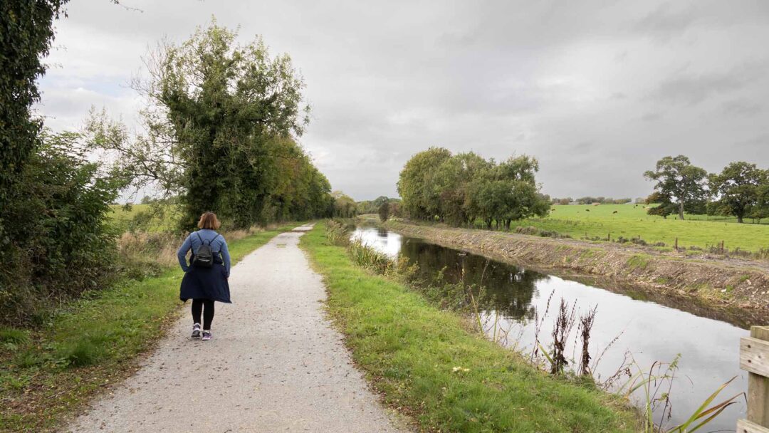
In the 6th century St Coca founded a church beside the Rye River. Kilcock was busy with fairs and markets going back to the 12th century and till the 1950’s. In 1847 the railway opened but initially failed because locomotives at that time couldn’t cope with the 1% gradient. In 1850 the train returned and continued till 1963. Kilcock still has trains allowing you an easy return to Maynooth.
In the 6th century St Coca founded a church beside the Rye River. Kilcock was busy with fairs and markets going back to the 12th century and till the 1950’s. In 1847 the railway opened but initially failed because locomotives at that time couldn’t cope with the 1% gradient. In 1850 the train returned and continued till 1963. Kilcock still has trains allowing you an easy return to Maynooth.
Enfield to Longwood (10km)
Enfield to Longwood (10km)
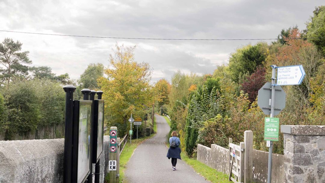

From Above
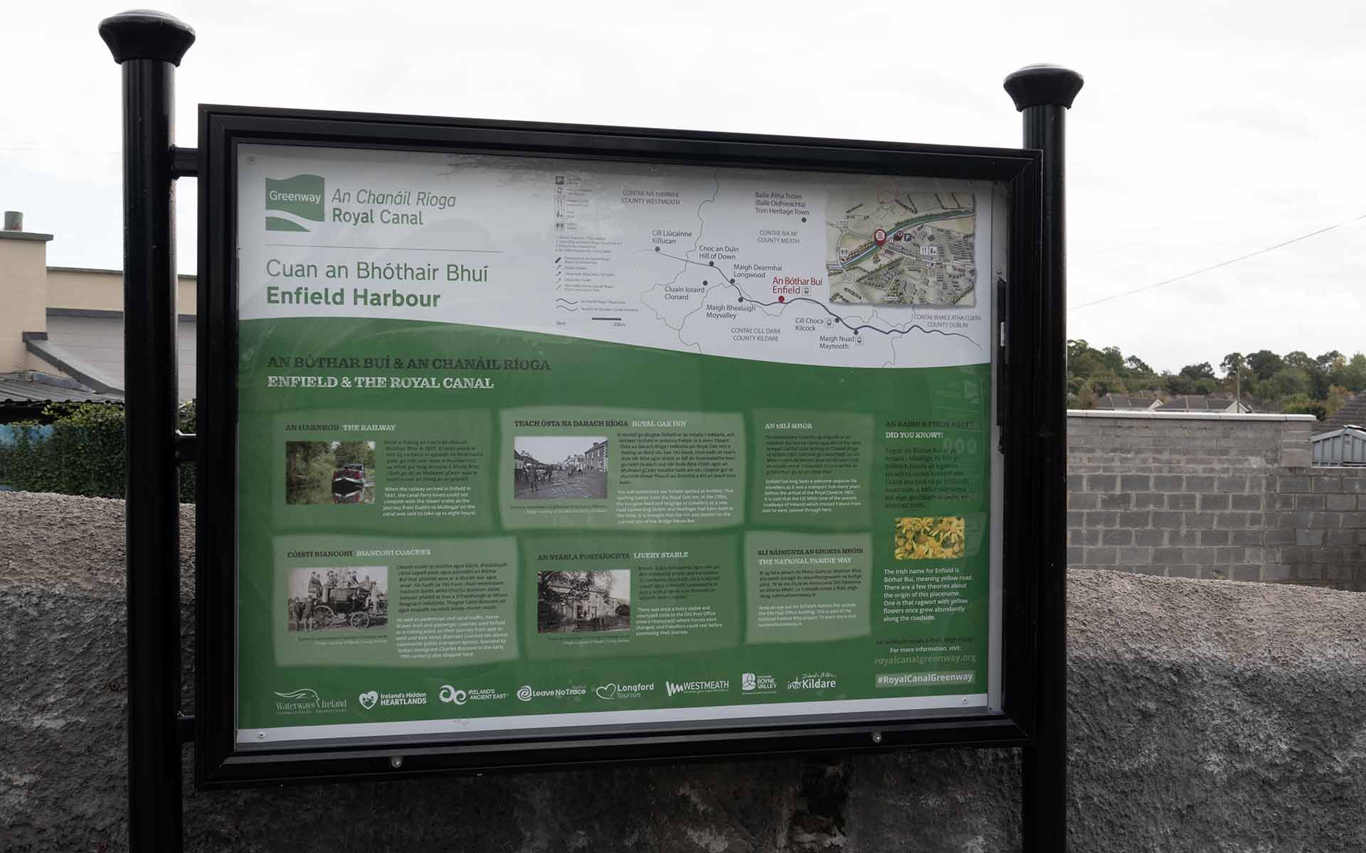
When the railway arrived in Enfield in 1847, the canal ferry boats could not compete with the steam trains as the journey from Dublin to Mullingar on the canal was said to take up to eight hours!
As well as pedestrian and canal traffic, horse- drawn mail and passenger coaches used Enfield as a resting point on their journey from east to west and vice versa. Bianconi Coaches (an almost nationwide public transport system, founded by Italian immigrant Charles Bianconi in the early 19th century) also stopped here.
There was once a livery stable and courtyard close to the Old Post Office (now a restaurant) where horses were changed, and travellers could rest before continuing their journey.
Enfield has long been a welcome stopover for travellers as it was a transport hub many years before the arrival of the Royal Canal in 1807. It is said that the tSlí Mhór (one of the ancient roadways of Ireland) which crossed Ireland from east to west, passed through here.
The Irish name for Enfield is Bóthar Buí, meaning yellow roa There are a few theories about the origin of this placename. One is that ragwort with yellow flowers once grew abundantly along the roadside.
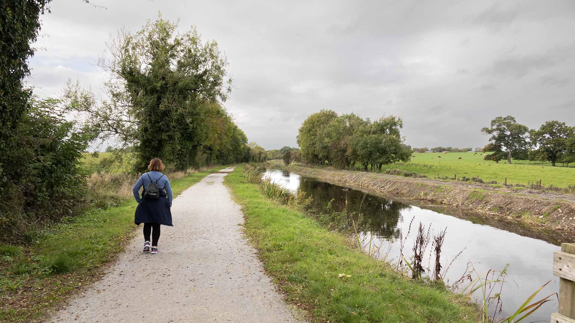

Longwood
Longwood
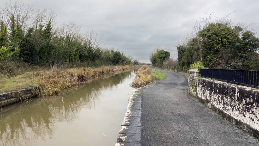
From Above
The construction of the Royal Canal was a complex engineering and architectural challenge. Canal engineer Richard Evans had to solve the problem of how to carry the Royal Canal over the River Boyne. He designed the architectural marvel: the Boyne Aqueduct, which you can see about 200 metres from Longwood harbour.
Unfortunately, Evans did not live to see the Boyne Aqueduct completed as he died in 1802, two years before it was finished. The Boyne Viaduct was then built in 1849 to carry the new rail line across the river.
Today Longwood Harbour is home to the Ribbontail Paddlers Canoe Club which is named after nearby Ribbontail Bridge. It was supposedly built for mass- goers travelling by foot to Longwood and is possibly named after the Ribbon Society (a secret society active in rural Ireland in the early 19th century that agitated on behalf of poor tenant farmers and labourers).
Today Longwood Harbour is home to the Ribbontail Paddlers Canoe Club which is named after nearby Ribbontail Bridge. It was supposedly built for mass- goers travelling by foot to Longwood and is possibly named after the Ribbon Society (a secret society active in rural Ireland in the early 19th century that agitated on behalf of poor tenant farmers and labourers).
In Longwood, a group of Ribbonmen (part of the Ribbon Society) concocted a scheme where they breached the canal walls to let the water out. When the breach was spotted, the Ribbonmen offered to carry out the repair job at 14 shillings a week! This scheme was eventually halted when the canal company issued a ban on hiring local labour.
In Longwood, a group of Ribbonmen (part of the Ribbon Society) concocted a scheme where they breached the canal walls to let the water out. When the breach was spotted, the Ribbonmen offered to carry out the repair job at 14 shillings a week! This scheme was eventually halted when the canal company issued a ban on hiring local labour.
The village of Longwood, is accessible via a walkway which links to the Royal Canal Greenway towpath.
The village of Longwood, is accessible via a walkway which links to the Royal Canal Greenway towpath.
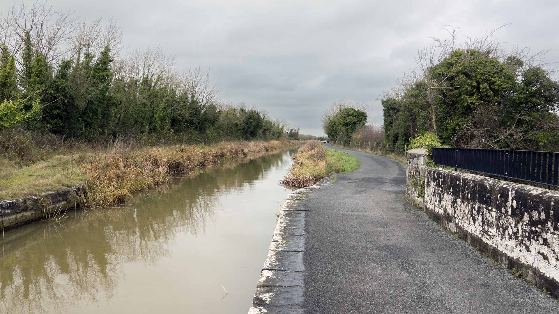
Hill of Down
The Hill of Down was a hive of activity in the months leading up to the Easter Rising of 1916. Local man Thomas Allen, travelled here by train every weekend from Dublin. His mission was to drill members of the Irish Volunteers. Due to confused orders before the Rising, the Hill of Down never saw any action. Thomas Allen himself was killed in a firefight in the Four Courts, Dublin during Easter Week.

The Royal Canal came to the Hill of Down in the early 1800s. Construction was beset by high costs and other problems. The arrival of the railways just three decades after the Royal Canal opened meant that the popularity of canals quickly waned.
The entire Royal Canal was purchased by the Midland Great Western Railway in 1845, who laid their new track alongside the waterway. The railway station at the Hill of Down remained open until 1947.
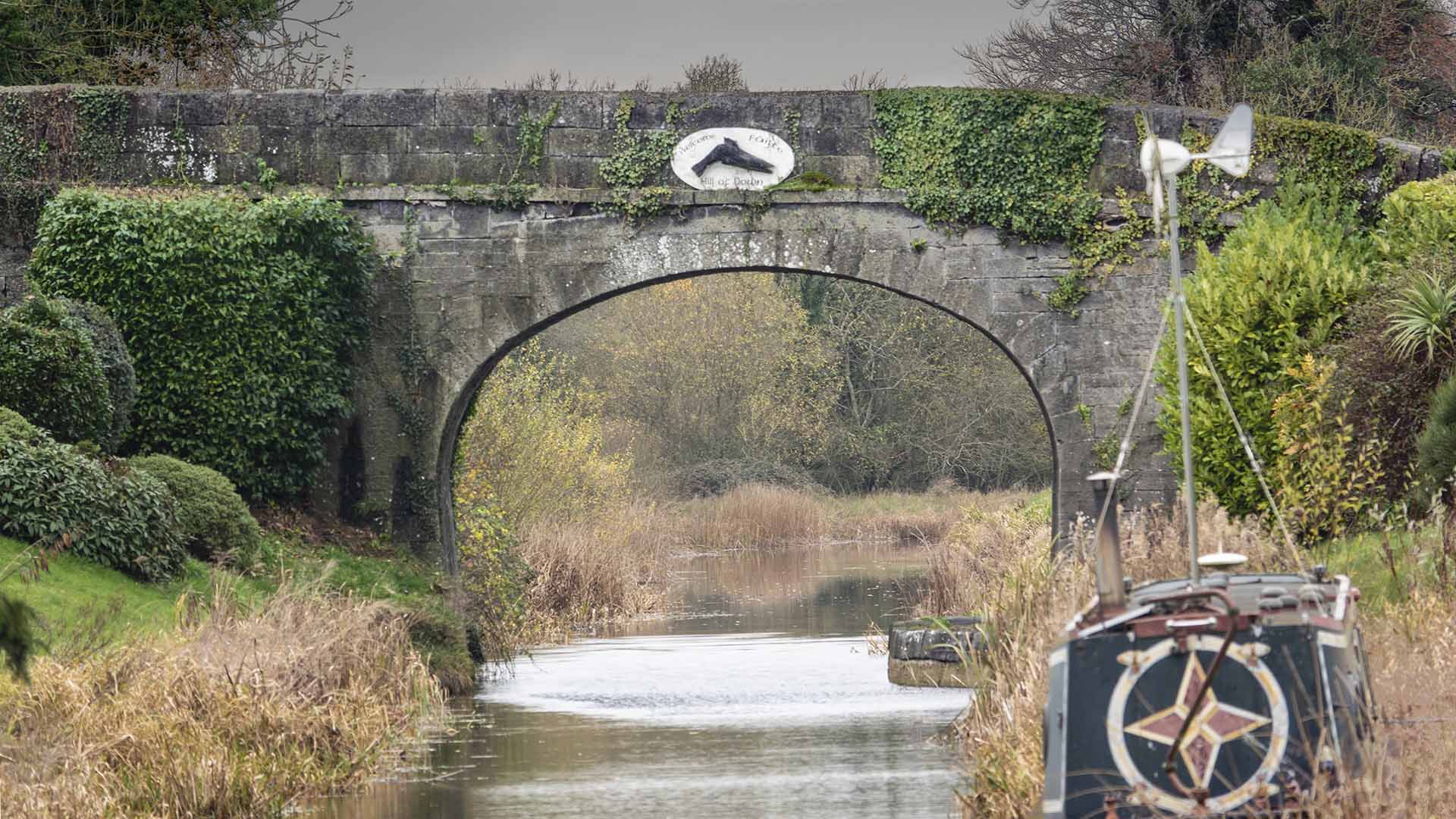
Killucan and Rathwire
Killucan and Rathwire
This area has two villages that benefited from the canal Killucan and Rathwire, and will now welcome tourists who wander from this greenway. The Midland Great Western Railway also brought trade to these towns. Rathwire got it’s name from a ringfort or a walled enclosure called a rath, the remains can be found at the western end of village. This structure built by ‘’Guaire’’ who was an Irish chieftain. Hugh de Lacy who’s family given land here, created a large area of land on which wooden tower’s can be built, (motte) adjacent to the chieftains fort.
This area has two villages that benefited from the canal Killucan and Rathwire, and will now welcome tourists who wander from this greenway. The Midland Great Western Railway also brought trade to these towns. Rathwire got it’s name from a ringfort or a walled enclosure called a rath, the remains can be found at the western end of village. This structure built by ‘’Guaire’’ who was an Irish chieftain. Hugh de Lacy who’s family given land here, created a large area of land on which wooden tower’s can be built, (motte) adjacent to the chieftains fort.
King John
King John
King Cathal Crobderg O’Connor travelled from Connacht for a rendezvous in Rathwire with King John in 1210. (Check out, King John’s Castle.) It’s said that King John gave saddles to the west of Ireland men but they preferred riding without such hardware and cast them away when out of range.
King Cathal Crobderg O’Connor travelled from Connacht for a rendezvous in Rathwire with King John in 1210. (Check out, King John’s Castle.) It’s said that King John gave saddles to the west of Ireland men but they preferred riding without such hardware and cast them away when out of range.
Coolnahay
Ballynacargy
Ballynacargy

Ballynacargy is a village located in County Westmeath, Ireland. It is situated on the Royal Canal and River Inny, approximately halfway between the towns of Mullingar and Longford. The village has historical significance, with features such as Ballynacargy Castle, a tower house believed to date back to the 15th century.
Ballynacargy is a village located in County Westmeath, Ireland. It is situated on the Royal Canal and River Inny, approximately halfway between the towns of Mullingar and Longford. The village has historical significance, with features such as Ballynacargy Castle, a tower house believed to date back to the 15th century.

The castle is believed to have been built in the 15th century and has a square-shaped design typical of many Irish tower houses. It stands near the River Inny and the Royal Canal, adding to its picturesque surroundings.
The castle is believed to have been built in the 15th century and has a square-shaped design typical of many Irish tower houses. It stands near the River Inny and the Royal Canal, adding to its picturesque surroundings.
Abbeyshrule
Abbeyshrule

Like many monastic establishments, Abbeyshrule Abbey played a significant role in the local community, providing spiritual guidance, education, and contributing to the economic development of the area. The monks at Abbeyshrule were known for their agricultural activities and were likely involved in milling and other industries.
Like many monastic establishments, Abbeyshrule Abbey played a significant role in the local community, providing spiritual guidance, education, and contributing to the economic development of the area. The monks at Abbeyshrule were known for their agricultural activities and were likely involved in milling and other industries.
Because of the canal an aqueduct was constructed across the river Inny. Thus bringing more trade to the village. Abbeyshrule has a very active tidy town workforce resulting in winning national awards. The ruins of Cistercian abbey dating back to 1150 can be found beside the Inny, this was one of the biggest abbeys in Leinster.
Because of the canal an aqueduct was constructed across the river Inny. Thus bringing more trade to the village. Abbeyshrule has a very active tidy town workforce resulting in winning national awards. The ruins of Cistercian abbey dating back to 1150 can be found beside the Inny, this was one of the biggest abbeys in Leinster.
Abbeyshrule Abbey is a former Cistercian monastery located in Abbeyshrule, County Longford, Ireland. The abbey was founded in the 12th century, around 1150, by the Norman knight Richard de Tuite. It was dedicated to the Blessed Virgin Mary and belonged to the Cistercian order, which followed the strict rule of St. Benedict.
Abbeyshrule Abbey is a former Cistercian monastery located in Abbeyshrule, County Longford, Ireland. The abbey was founded in the 12th century, around 1150, by the Norman knight Richard de Tuite. It was dedicated to the Blessed Virgin Mary and belonged to the Cistercian order, which followed the strict rule of St. Benedict.
Ballinea
Ballinea

From Above
Ballinea (Beal an Atha, meaning ‘Mouth of the Ford’) is a small but picturesque village, with an attractive stone arched bridge providing vistas of the surrounding countryside. After following its path from Mullingar, the Old Rail Trail Greenway separates from the Royal Canal Greenway here, with the canal meandering to the north west towards Longford and the Old Rail Trail taking a south westerly direction.
Ballinea (Beal an Atha, meaning ‘Mouth of the Ford’) is a small but picturesque village, with an attractive stone arched bridge providing vistas of the surrounding countryside. After following its path from Mullingar, the Old Rail Trail Greenway separates from the Royal Canal Greenway here, with the canal meandering to the north west towards Longford and the Old Rail Trail taking a south westerly direction.
Historic Railway Structures In addition to historic station buildings and signal boxes, a series of elegant limestone bridges can be found along the Old Rail Trail. Just 2km south west of Ballinea, the greenway is shadowed by a quaint and attractive stone-arched tunnel, built using rock-faced local limestone, by the Midland and Great Western Railway Company in the early 1850s.
Historic Railway Structures In addition to historic station buildings and signal boxes, a series of elegant limestone bridges can be found along the Old Rail Trail. Just 2km south west of Ballinea, the greenway is shadowed by a quaint and attractive stone-arched tunnel, built using rock-faced local limestone, by the Midland and Great Western Railway Company in the early 1850s.
Belmont House Is Situated close to Ballinea Bridge, Belmont House was the home of the mountaineer and cartographer, Anthony Adams Reilly (1836- 1885). A pioneering mountaineer, Adams Reilly drew a series of maps of the French Alps including Mont Blanc and the Mont Rose region in the 1860s. These were of such quality that the French Geographical Society used them until the mid-20th century.
Belmont House Is Situated close to Ballinea Bridge, Belmont House was the home of the mountaineer and cartographer, Anthony Adams Reilly (1836- 1885). A pioneering mountaineer, Adams Reilly drew a series of maps of the French Alps including Mont Blanc and the Mont Rose region in the 1860s. These were of such quality that the French Geographical Society used them until the mid-20th century.
The geology of Westmeath 330 million years ago, Ireland was located just south of the equator and was covered by a shallow tropical sea. The remains of the creatures that teemed in this environment created the carboniferous limestone that became Westmeath’s dominant rock type. Such rock is easily dissolved by acidic water, leading to the creation of karst features such as underground drainage systems with caves and sinkholes. Far more recently, some 20,000 years ago, ice shaped the landscape we see today. For example, the 20 metre high ‘Catstone’ on the Hill of Uisneach, is a ‘glacial erratic, a rock carried by a glacier and deposited far from its original location.
The geology of Westmeath 330 million years ago, Ireland was located just south of the equator and was covered by a shallow tropical sea. The remains of the creatures that teemed in this environment created the carboniferous limestone that became Westmeath’s dominant rock type. Such rock is easily dissolved by acidic water, leading to the creation of karst features such as underground drainage systems with caves and sinkholes. Far more recently, some 20,000 years ago, ice shaped the landscape we see today. For example, the 20 metre high ‘Catstone’ on the Hill of Uisneach, is a ‘glacial erratic, a rock carried by a glacier and deposited far from its original location.
Rich in royal heritage The nearby town of Mullingar is said to have originated at a river crossing along an ancient east-west highway, connecting the Hill of Uisneach in Westmeath with Tara in Meath and other important ancient sites. Lough Ennell has many early medieval church sites and royal residences. These include those of the Clann Cholmáin at Dún na Sgiath (the ‘Fort of the Shields’) and a settlement on an island known as Cró-Inis or Cormorant Island. In 1022, Máel Sechnaill MacDomhnaill who had been High King of Ireland died on this island. Recent significant archaeological finds in Lough Ennell include Viking-era silver ingots (now on display in the National Museum) and coins from 9th century Baghdad, Samarkand and England.
Rich in royal heritage The nearby town of Mullingar is said to have originated at a river crossing along an ancient east-west highway, connecting the Hill of Uisneach in Westmeath with Tara in Meath and other important ancient sites. Lough Ennell has many early medieval church sites and royal residences. These include those of the Clann Cholmáin at Dún na Sgiath (the ‘Fort of the Shields’) and a settlement on an island known as Cró-Inis or Cormorant Island. In 1022, Máel Sechnaill MacDomhnaill who had been High King of Ireland died on this island. Recent significant archaeological finds in Lough Ennell include Viking-era silver ingots (now on display in the National Museum) and coins from 9th century Baghdad, Samarkand and England.

The Waterford Greenway

The Great Eastern Greenway
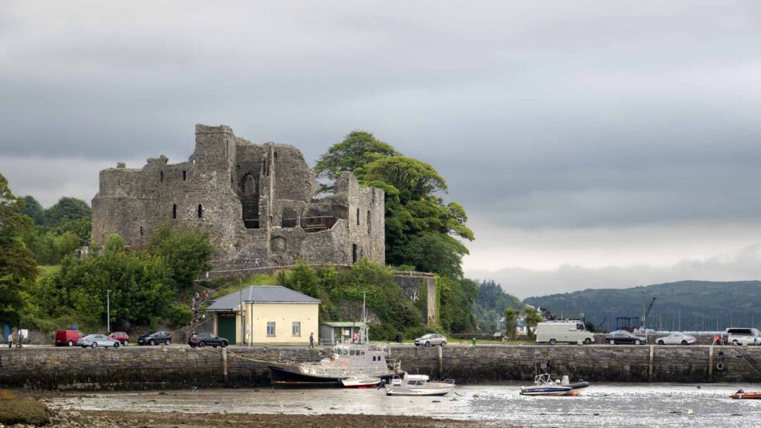

Tralee to Fenit Greenway


The Limerick Greenway
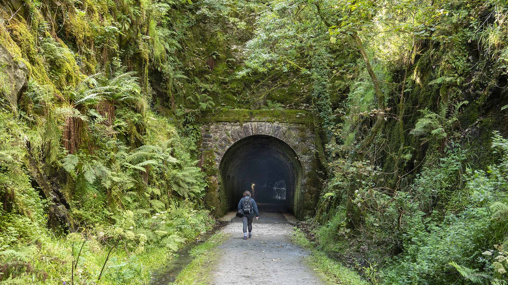

The Athlone Greenway
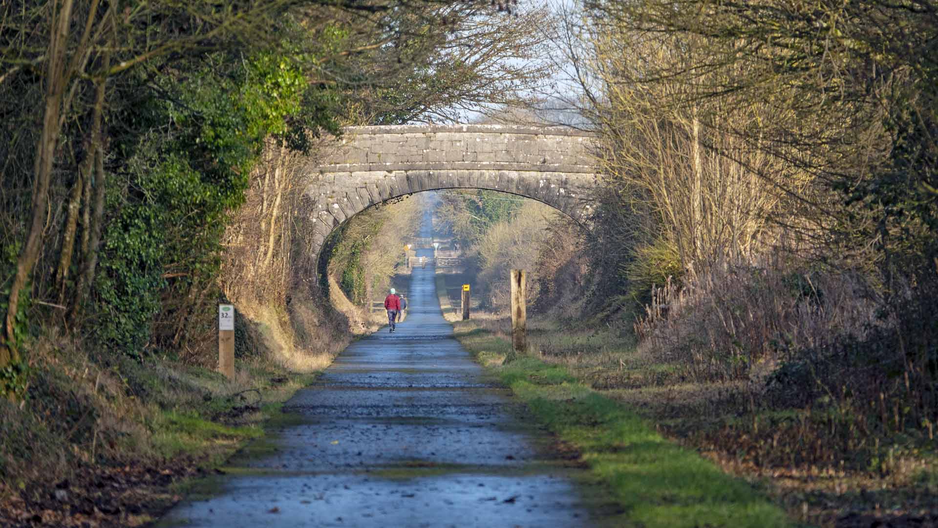

The Cork Harbour Greenway
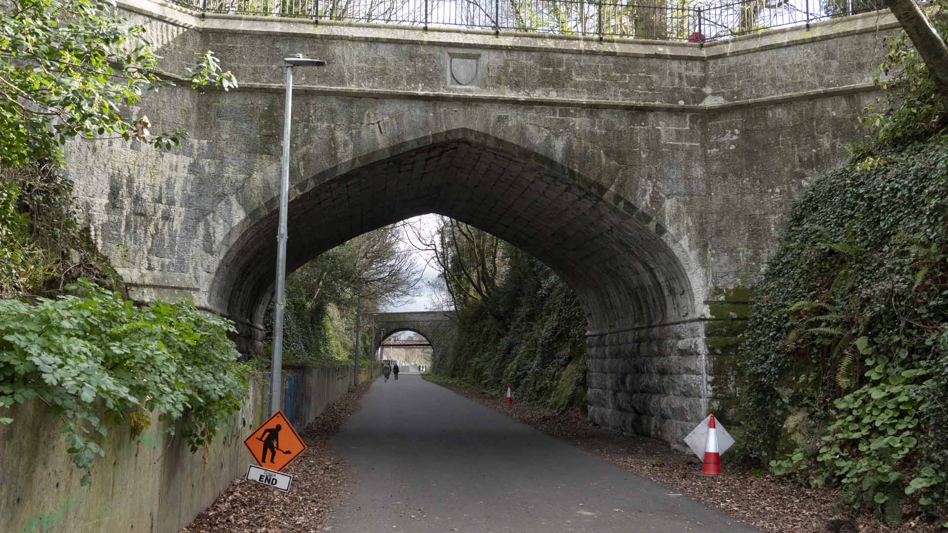

- 6 McNeadʼs Bridge to Mullingar (12km)
- 7 Mullingar to Coolnahay Harbour (11km)
- 8 Coolnahay Harbour to Ballynacarrigy (9km)
- 9 Ballynacarigy to Abbeyshrule (9km)
- 10 Abbeyshrule to Ballymahon (9km)
- 11 Ballymahon to Keenagh (9km)
- 12 Keenagh to Cloondara (15km)
- 13 Cloondara to Longford (15km)
- 14 Longford
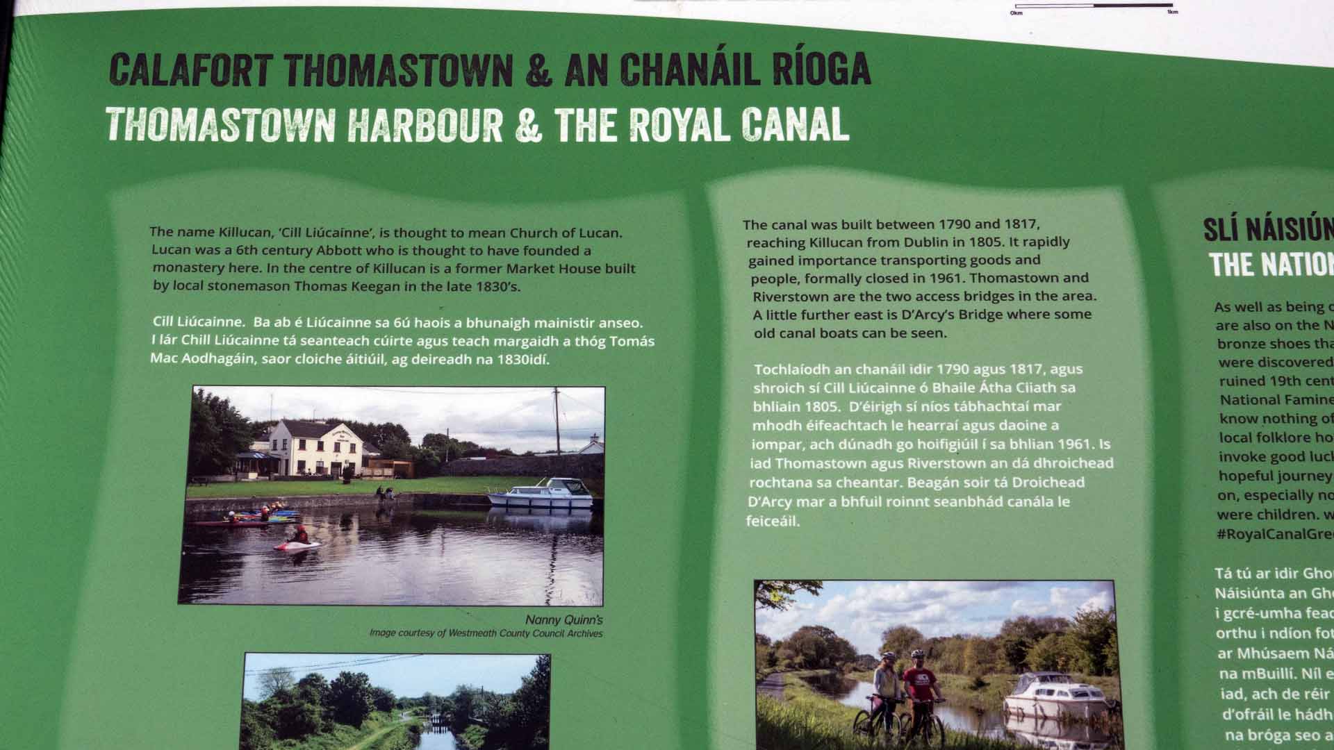
The name Killucah, ‘Cill Liucainne’, is thought to mean Church of Lucan. Lucan was a 6th century Abbott who is thought to have founded a monastery here. In the centre of Killucan is a former Market House built by local stonemason Thomas Keegan in the late 1830’s
The name Killucah, ‘Cill Liucainne’, is thought to mean Church of Lucan. Lucan was a 6th century Abbott who is thought to have founded a monastery here. In the centre of Killucan is a former Market House built by local stonemason Thomas Keegan in the late 1830’s

