Dursey island forms the tip of the Beara Peninsula with tides racing through the narrow Dursey Sound. Flag Rock, a submerged reef in the centre of the channel, is covered by only 0.3 metres (1ft) of water at low tide. Thus making boat travel hazardous. If you travel to the island bring all you need as Dursey Island has no shop or pub.
Dursey island forms the tip of the Beara Peninsula with tides racing through the narrow Dursey Sound. Flag Rock, a submerged reef in the centre of the channel, is covered by only 0.3 metres (1ft) of water at low tide. Thus making boat travel hazardous. If you travel to the island bring all you need as Dursey Island has no shop or pub.
Dursey Sound
Dursey Sound
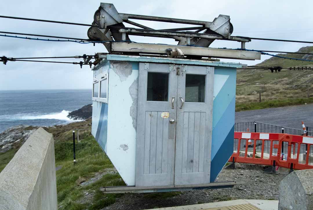
This walk starts at the cable car and follow the arrows for views of Ballydonegal Bay, Cods Head and if lucky the Cable Car crossing to Dursey Island. This place can be very exposed and on wet and windy days and the trail becomes boggy. If its fresh air you want with sea views from high ground, no better place.
This walk starts at the cable car and follow the arrows for views of Ballydonegal Bay, Cods Head and if lucky the Cable Car crossing to Dursey Island. This place can be very exposed and on wet and windy days and the trail becomes boggy. If its fresh air you want with sea views from high ground, no better place.
If this place looks wild thats because it is. There is a car-park and yellow posts you can follow up a steep hill, for views of Dursey Island and if lucky the cable car crossing, there is a loop that returns by public road, we retraced our tracks back.
If this place looks wild thats because it is. There is a car-park and yellow posts you can follow up a steep hill, for views of Dursey Island and if lucky the cable car crossing, there is a loop that returns by public road, we retraced our tracks back.
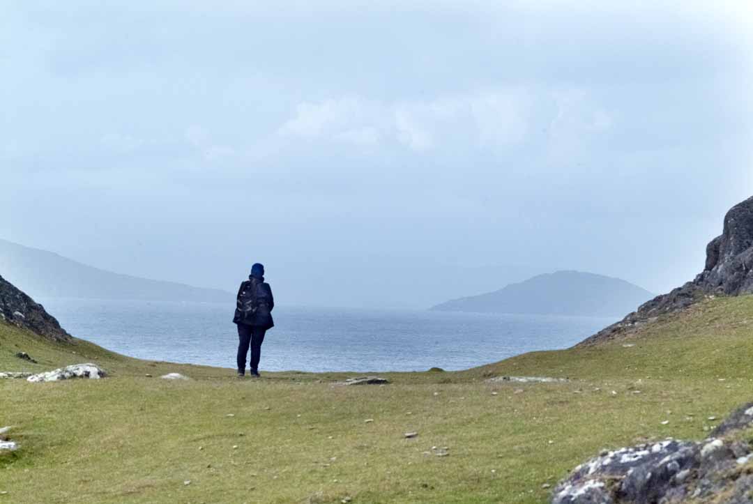
Bring water and wear suitable clothing and footwear because this is hill walking
Bring water and wear suitable clothing and footwear because this is hill walking
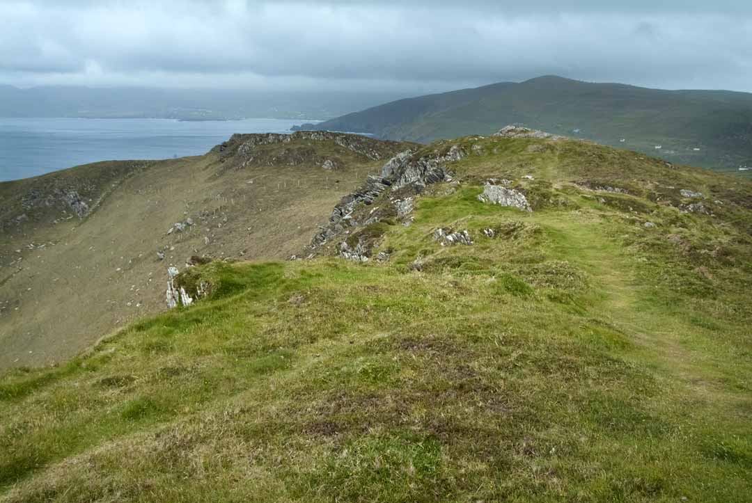
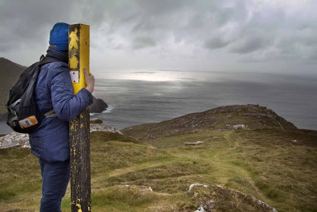
From here there is no doubt why this area is called The Wind Atlantic way.
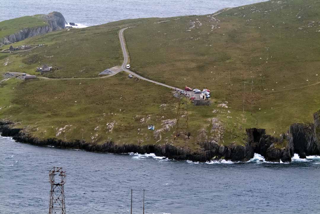
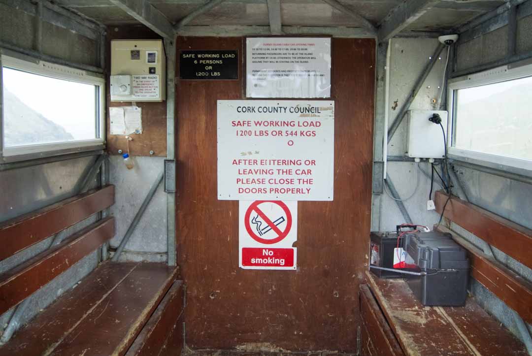
Cable Car
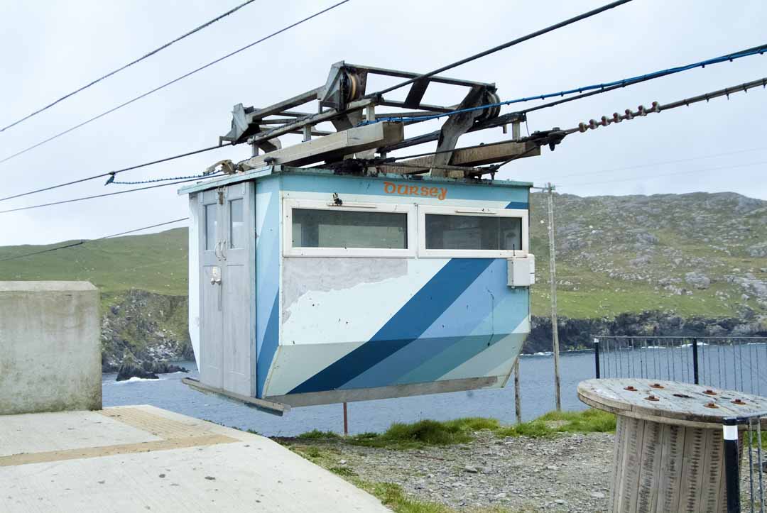
Cable Car
Local History
Local History
The Signal Tower at the West End is one of a series, stretching from Cork Harbour to Donegal, built as an early-warning system against Napoleonic invasion. Just a few years after the tower construction, circa 1806, signaling was abandoned for the semaphore system.
The Signal Tower at the West End is one of a series, stretching from Cork Harbour to Donegal, built as an early-warning system against Napoleonic invasion. Just a few years after the tower construction, circa 1806, signaling was abandoned for the semaphore system.
Betony-Stachys Officials, is a wild flower, rare to Ireland, but found around Garnish Head, a National Heritage Area. For centuries Betony has been used for its medicinal and remedial properties and, in particular for nervous complaints. In former times Betony was also worn in a amulet to ward off evil spirits.
Betony-Stachys Officials, is a wild flower, rare to Ireland, but found around Garnish Head, a National Heritage Area. For centuries Betony has been used for its medicinal and remedial properties and, in particular for nervous complaints. In former times Betony was also worn in a amulet to ward off evil spirits.
In the late-megalithic period the cremated remains of the dead were sometimes buried in structures such as the Wedge grave at Bealbarnish Gap. These features get their name from how the chamber is ‘wedged’, becoming narrower and sloping to the back. The entrance was usually aligned with the setting sun. It has been suggested that this relates to beliefs concerning the passing of the dead to the afterlife.
In the late-megalithic period the cremated remains of the dead were sometimes buried in structures such as the Wedge grave at Bealbarnish Gap. These features get their name from how the chamber is ‘wedged’, becoming narrower and sloping to the back. The entrance was usually aligned with the setting sun. It has been suggested that this relates to beliefs concerning the passing of the dead to the afterlife.
The man-made beach at Ballydonegan is a popular amenity; the sand is the result of 100,000 tonnes of crushed quartz washed down from the copper mines.
The man-made beach at Ballydonegan is a popular amenity; the sand is the result of 100,000 tonnes of crushed quartz washed down from the copper mines.
Donal Cam O’Sullivan Beare and the Beara-Breifne March
Donal Cam O’Sullivan Beare and the Beara-Breifne March
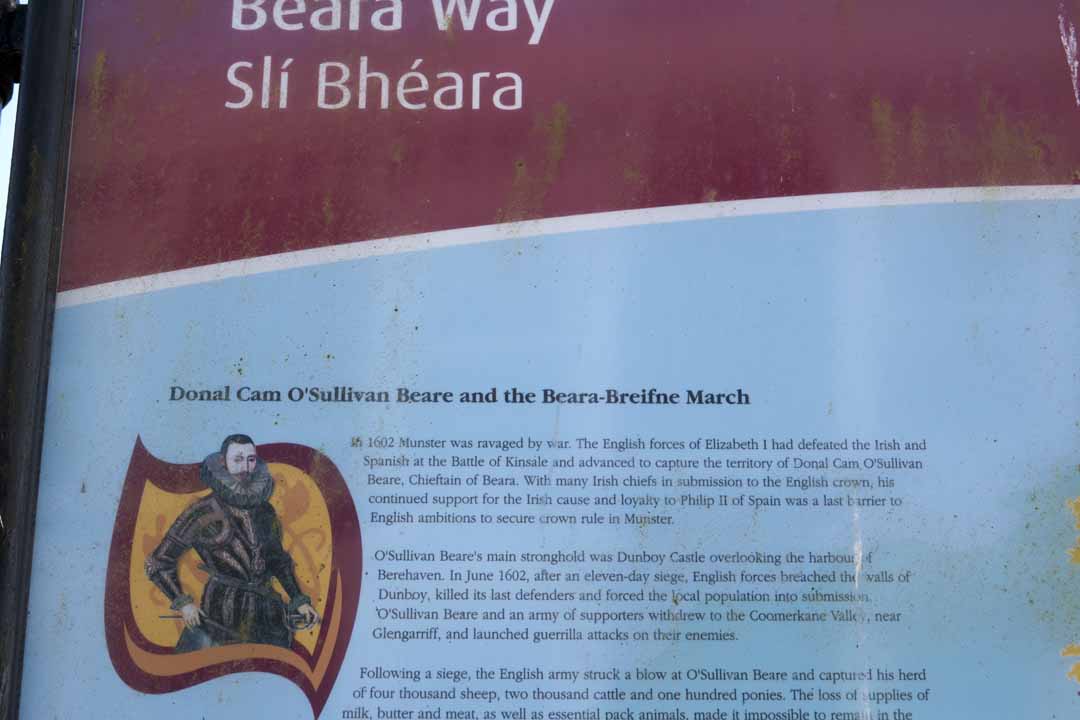
In 1602 Munster was ravaged by war. The English forces of Elizabeth 1 had defeated the Irish and Spanish at the Battle of Kindle and advanced to capture the territory of Donal Cam O’Sullivan Beare, Chieftain of Beara. With many Irish chiefs in submission to the English crown, his continued support for the Irish cause and loyalty to Philip II of Spain was the last barrier to English ambitions to secure crown in Munster.
In 1602 Munster was ravaged by war. The English forces of Elizabeth 1 had defeated the Irish and Spanish at the Battle of Kindle and advanced to capture the territory of Donal Cam O’Sullivan Beare, Chieftain of Beara. With many Irish chiefs in submission to the English crown, his continued support for the Irish cause and loyalty to Philip II of Spain was the last barrier to English ambitions to secure crown in Munster.
O’Sullivan Beare’s main stronghold was Dunboy Castle overlooking the harbour of Berehaven. In June 1602, after an eleven-day siege, English forces breached the walls of Dunboy, killed it’s last defenders and forced the local population into submission. O’Sullivan Beare and an army of supporters withdrew to the Coomerkane valley, near Glengarriff, and launched guerrilla attacks on their enemies.
O’Sullivan Beare’s main stronghold was Dunboy Castle overlooking the harbour of Berehaven. In June 1602, after an eleven-day siege, English forces breached the walls of Dunboy, killed it’s last defenders and forced the local population into submission. O’Sullivan Beare and an army of supporters withdrew to the Coomerkane valley, near Glengarriff, and launched guerrilla attacks on their enemies.
Following a siege, the English army struck a blow at O’Sullivan beare and captured his herd of four thousand sheep, two thousand cattle and one hundred ponies. The loss of supplies of milk, butter and meat, as well as essential pack animals, made it impossible to remain in the valley. On New Year’s Eve 1602, faced with almost certain starvation, O’Sullivan Beare fled with four hundred fighting men and six hundred camp followers and women , children, servants and porters: a thousand men and women on a epic march northwards.
Following a siege, the English army struck a blow at O’Sullivan beare and captured his herd of four thousand sheep, two thousand cattle and one hundred ponies. The loss of supplies of milk, butter and meat, as well as essential pack animals, made it impossible to remain in the valley. On New Year’s Eve 1602, faced with almost certain starvation, O’Sullivan Beare fled with four hundred fighting men and six hundred camp followers and women , children, servants and porters: a thousand men and women on a epic march northwards.
O’Sullivan Beare was counting on his ally, O’Rourke of Breifne, to provide refuge at Leitrim Castle three hundred kilometres to the north. Travelling through Ireland art a time of war and severe food shortages they were viewed by local chiefs as outcasts and attacked. The need to stay ahead of their enemies meant that they were often unable to bury their dead or carry off their wounded. Women carried infants and many of the camp followers could not keep up. By the time they reached the river Shannon their numbers were as low as three to four hundred.
O’Sullivan Beare was counting on his ally, O’Rourke of Breifne, to provide refuge at Leitrim Castle three hundred kilometres to the north. Travelling through Ireland art a time of war and severe food shortages they were viewed by local chiefs as outcasts and attacked. The need to stay ahead of their enemies meant that they were often unable to bury their dead or carry off their wounded. Women carried infants and many of the camp followers could not keep up. By the time they reached the river Shannon their numbers were as low as three to four hundred.
With enemies on either side of the river they crossed at night in a boat made of the skins of twelve slaughtered horses, the meat almost certainly eaten by the starving in the camp. Two days later, at Aughrim, their path was blocked by English-led cavalry and infantry. O’Sullivan Beare’s camp had no choice but to fight. Against all odds an exhausted army of refugees defeated greatly superior forces but were unable to rest. They had to travel a twenty mile detour during the night to escape further attack. As the Connaught mercenaries among o’Sullivans Beare’s began to disappear and return home, the remaining refugees were continuously threatened.
With enemies on either side of the river they crossed at night in a boat made of the skins of twelve slaughtered horses, the meat almost certainly eaten by the starving in the camp. Two days later, at Aughrim, their path was blocked by English-led cavalry and infantry. O’Sullivan Beare’s camp had no choice but to fight. Against all odds an exhausted army of refugees defeated greatly superior forces but were unable to rest. They had to travel a twenty mile detour during the night to escape further attack. As the Connaught mercenaries among o’Sullivans Beare’s began to disappear and return home, the remaining refugees were continuously threatened.
On the fourteenth day O”Sullivan Beare reached Leitrim castle. Out of the original one thousand followers only thirty five remained.
On the fourteenth day O”Sullivan Beare reached Leitrim castle. Out of the original one thousand followers only thirty five remained.
The Beara-Breifne and Beara Ways
The Beara-Breifne and Beara Ways
The Beara-Breifne Way follows the fourteen-day march taken by Donal O’Sullivan Beare and one thousand supporters in 1603. The way, the longest in Ireland, runs almost the length of the country and takes the walker and cyclist to some of its most beautiful and least explored areas: along the coast of the Beara Peninsula, across six mountain ranges, along the banks of the River Shannon and through the lake regions of Roscommon and Leitrim. The landscape contains an extraordinary variety of heritage sites-prehistoric features, castle ruins and religious and battle sites-many of which bear witness to the march of four hundred years ago.
The Beara-Breifne Way follows the fourteen-day march taken by Donal O’Sullivan Beare and one thousand supporters in 1603. The way, the longest in Ireland, runs almost the length of the country and takes the walker and cyclist to some of its most beautiful and least explored areas: along the coast of the Beara Peninsula, across six mountain ranges, along the banks of the River Shannon and through the lake regions of Roscommon and Leitrim. The landscape contains an extraordinary variety of heritage sites-prehistoric features, castle ruins and religious and battle sites-many of which bear witness to the march of four hundred years ago.
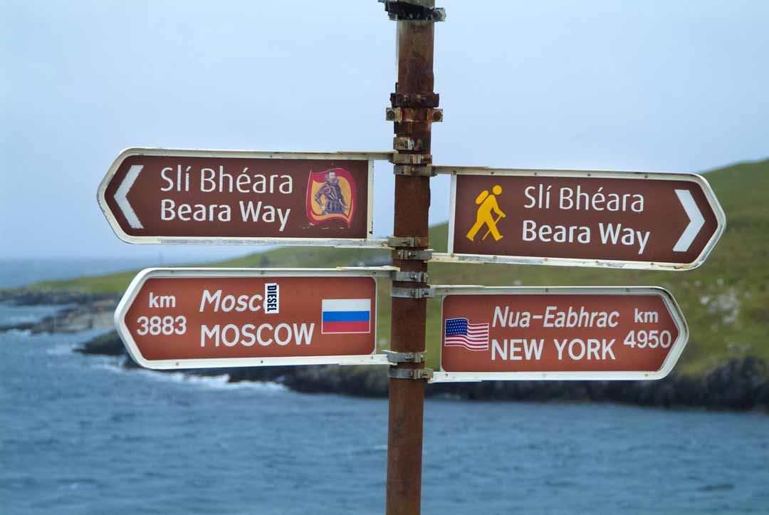
The Beara-Breifne Way interlinks a series of local ways. The local way on the Beara Peninsula is called The Beara Way. It is approximately 220 km in length and completes a circuit of breathtaking coastal and mountain scenery, before turning inland to Kealkil.
The Beara-Breifne Way interlinks a series of local ways. The local way on the Beara Peninsula is called The Beara Way. It is approximately 220 km in length and completes a circuit of breathtaking coastal and mountain scenery, before turning inland to Kealkil.
With enemies on either side of the river they crossed at night in a boat made of the skins of twelve slaughtered horses, the meat almost certainly eaten by the starving in the camp. Two days later, at Aughrim, their path was blocked by English-led cavalry and infantry. O’Sullivan Beare’s camp had no choice but to fight. Against all odds an exhausted army of refugees defeated greatly superior forces but were unable to rest. They had to travel a twenty mile detour during the night to escape further attack. As the Connaught mercenaries among o’Sullivans Beare’s began to disappear and return home, the remaining refugees were continuously threatened.
With enemies on either side of the river they crossed at night in a boat made of the skins of twelve slaughtered horses, the meat almost certainly eaten by the starving in the camp. Two days later, at Aughrim, their path was blocked by English-led cavalry and infantry. O’Sullivan Beare’s camp had no choice but to fight. Against all odds an exhausted army of refugees defeated greatly superior forces but were unable to rest. They had to travel a twenty mile detour during the night to escape further attack. As the Connaught mercenaries among o’Sullivans Beare’s began to disappear and return home, the remaining refugees were continuously threatened.
On the fourteenth day O”Sullivan Beare reached Leitrim castle. Out of the original one thousand followers only thirty five remained.
On the fourteenth day O”Sullivan Beare reached Leitrim castle. Out of the original one thousand followers only thirty five remained.
Both Ways follow off-road tracks and quiet back roads. However, traffic has increased in recent years and walkers and cyclist are asked to take care, particularly on the busy roads entering and leaving towns and villages. The Beara-Breifne and the Beara Ways cross both public and private lands and dogs are not permitted on either way. Access to private lands is by kind permission of local landowners, arranged by the local community, and especial thanks are extended to both landowners and community groups for their assistance in making this venture possible.
Both Ways follow off-road tracks and quiet back roads. However, traffic has increased in recent years and walkers and cyclist are asked to take care, particularly on the busy roads entering and leaving towns and villages. The Beara-Breifne and the Beara Ways cross both public and private lands and dogs are not permitted on either way. Access to private lands is by kind permission of local landowners, arranged by the local community, and especial thanks are extended to both landowners and community groups for their assistance in making this venture possible.
Walkers should be aware that both the The Beara Way and The Beara-Breifne Way are closed to the public for one day each year, the 31st January.
Walkers should be aware that both the The Beara Way and The Beara-Breifne Way are closed to the public for one day each year, the 31st January.
Castletownbere-Adrigole
Castletownbere-Adrigole
This section, the longest on the Beara way, takes 5-6 hours and has stunning views of Adrigole harbour, Berehaven and Here Island. Should you choose to leave the route part-way, numerous signed paths lead down to the R572. Leaving Castletownbere and the route follows the Aghakista river upstream and then goes off-road to continue along the foot of Maulin Mountain and Hungry Hill, passing a number of archaeological features, before descending to the coast road and the parish of Adrigole.
This section, the longest on the Beara way, takes 5-6 hours and has stunning views of Adrigole harbour, Berehaven and Here Island. Should you choose to leave the route part-way, numerous signed paths lead down to the R572. Leaving Castletownbere and the route follows the Aghakista river upstream and then goes off-road to continue along the foot of Maulin Mountain and Hungry Hill, passing a number of archaeological features, before descending to the coast road and the parish of Adrigole.
Cycling
Cycling
The cycling route follows the R572 along the foothills of Hungry Hill and the Slieve Miskish mountains and is circa 14-km in length. The road has no significant climbs. However, some sections are winding and narrow and cyclists should take care. The seaward views of Bere Island, across to Roancarrig lighthouse and the Sheep’s Head peninsula are spectacular.
The cycling route follows the R572 along the foothills of Hungry Hill and the Slieve Miskish mountains and is circa 14-km in length. The road has no significant climbs. However, some sections are winding and narrow and cyclists should take care. The seaward views of Bere Island, across to Roancarrig lighthouse and the Sheep’s Head peninsula are spectacular.
Castletownbere-Allihies
Castletownbere-Allihies
4-5 hours. The walk passes a number of archaeological sites and through a state forest as it climbs towards Knockgour. The views of Ballydonegan bay, Cod’s Head and Garinish are stunning on the approach to the village of Allihies.
4-5 hours. The walk passes a number of archaeological sites and through a state forest as it climbs towards Knockgour. The views of Ballydonegan bay, Cod’s Head and Garinish are stunning on the approach to the village of Allihies.
There is a choice of two cycling routes to Allihies, low or high. The low road takes you to historic Dunboy Castle and Puxley’s Mansion but is narrow, winding and busy. The high road is 2km longer but is quieter and has excellent sea views. Both routes meet at Clongaskan Junction and cyclists can enjoy a seaward vista as the road climbs to Bealbarnish Gap from where there are spectacular views of Ballydonegan Bay and the village of Allihies
There is a choice of two cycling routes to Allihies, low or high. The low road takes you to historic Dunboy Castle and Puxley’s Mansion but is narrow, winding and busy. The high road is 2km longer but is quieter and has excellent sea views. Both routes meet at Clongaskan Junction and cyclists can enjoy a seaward vista as the road climbs to Bealbarnish Gap from where there are spectacular views of Ballydonegan Bay and the village of Allihies

The Waterford Greenway
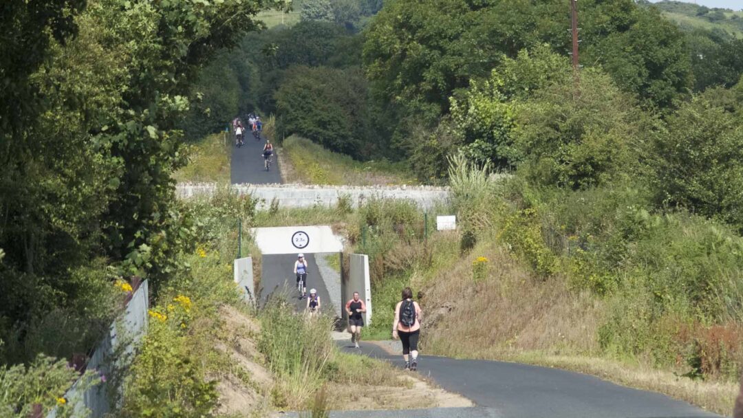

The Great Eastern Greenway
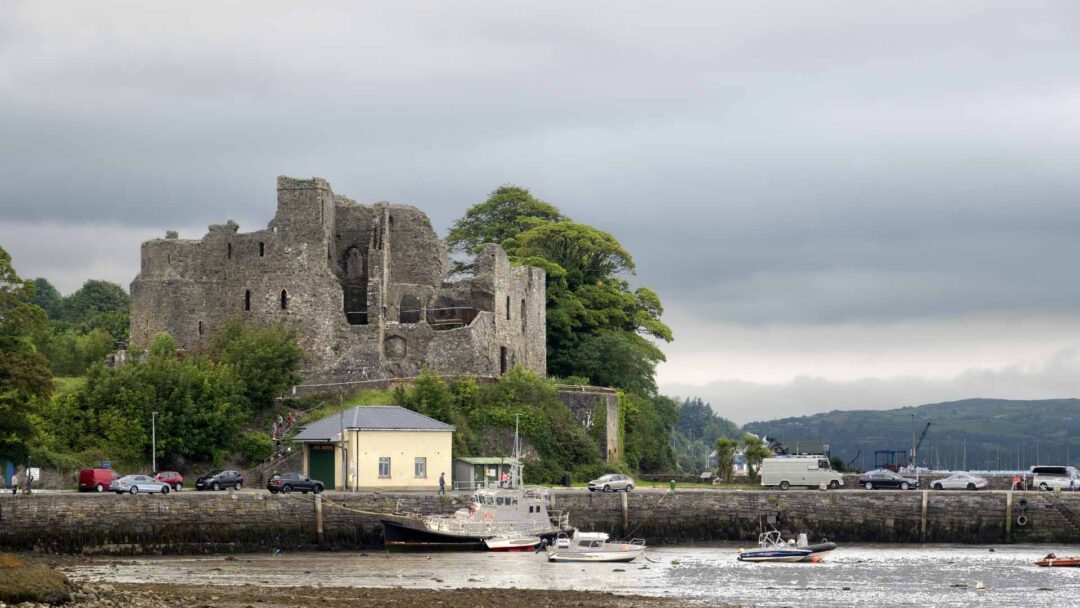

The Limerick Greenway
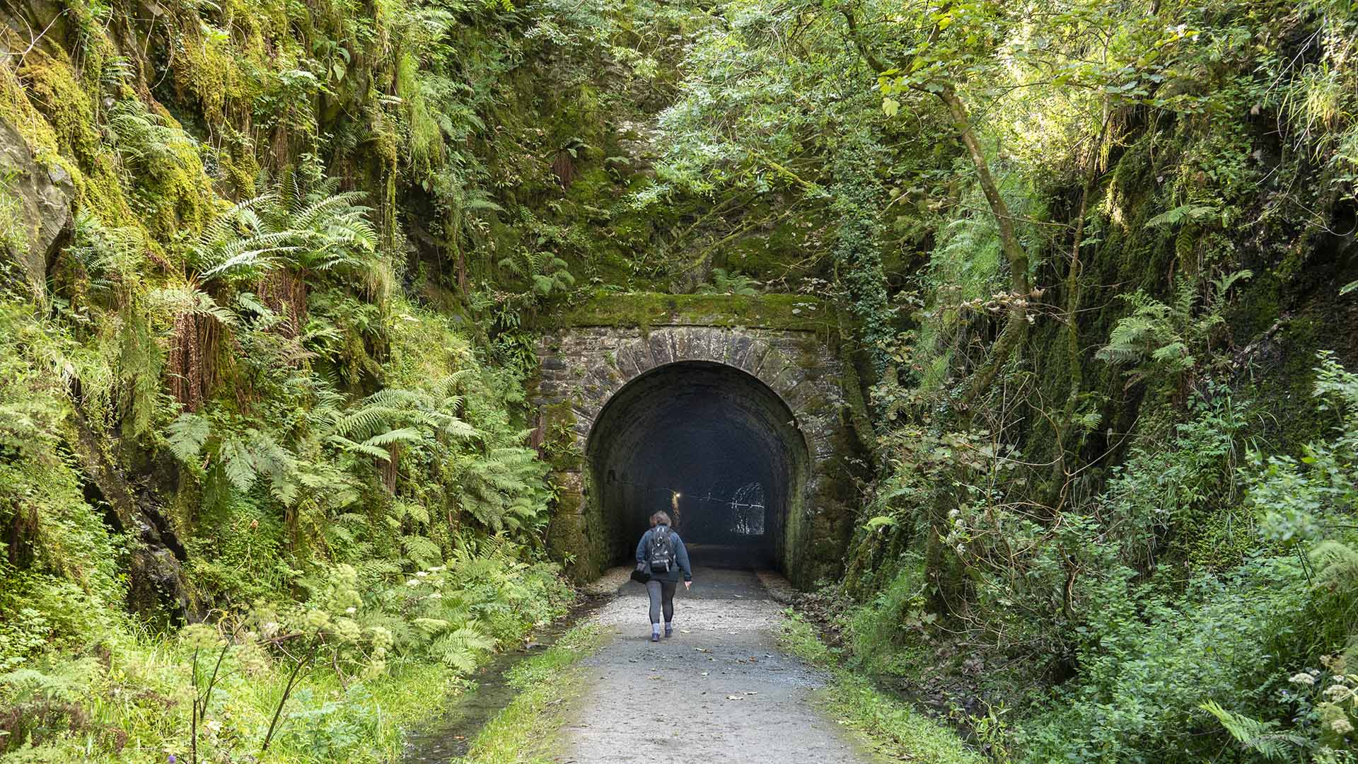

The Royal Canal Greenway
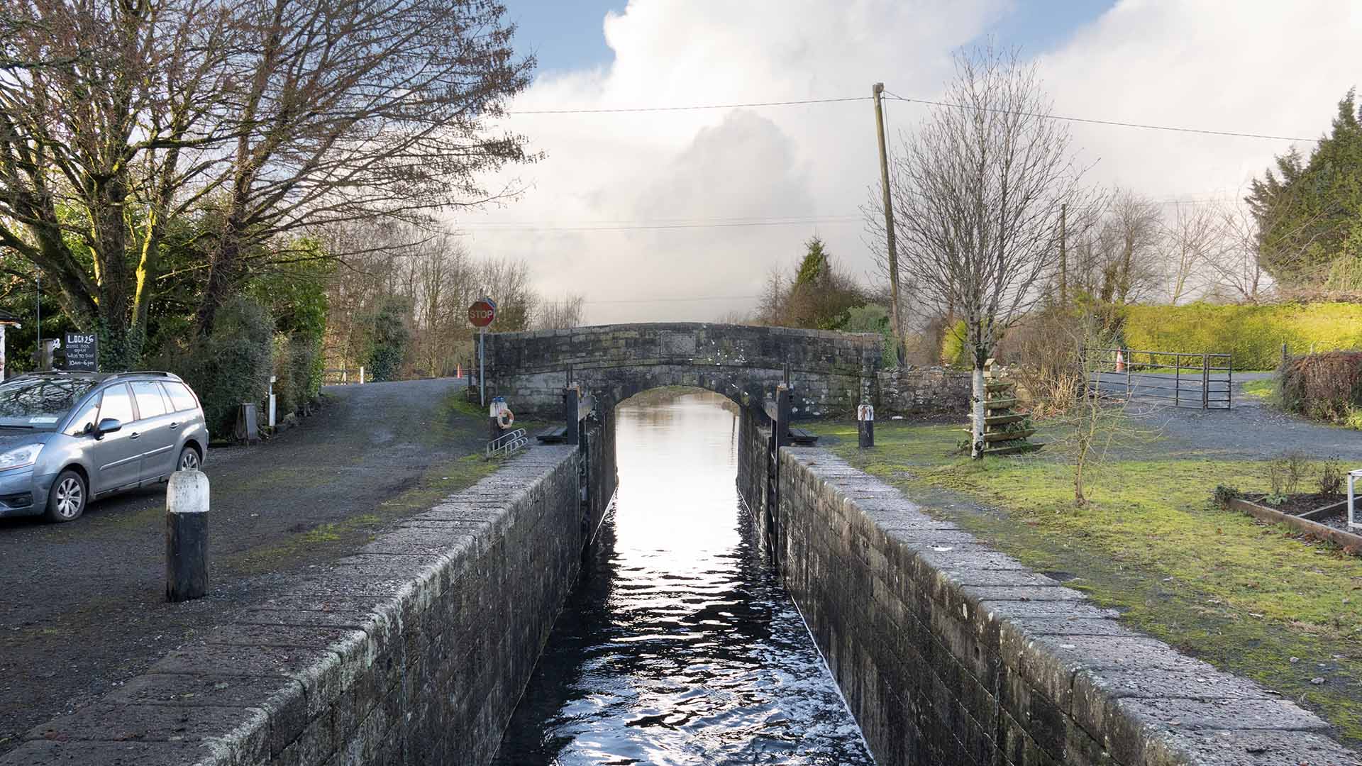

The Athlone Greenway
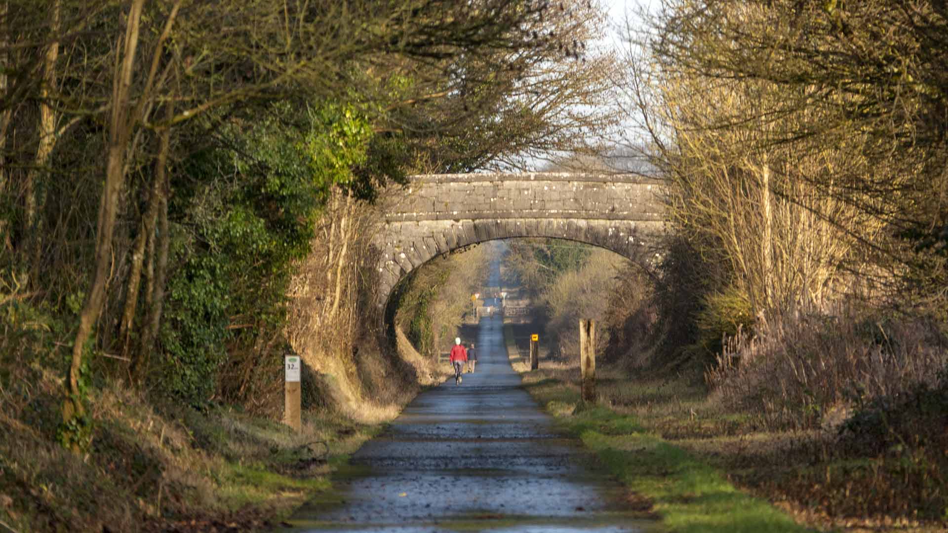

The Cork Harbour Greenway
