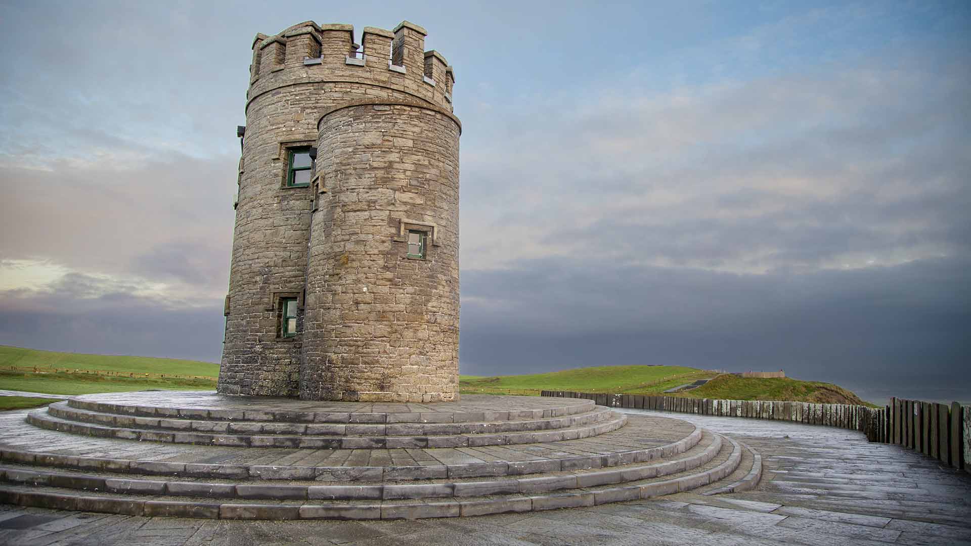
Cliffs of Moher
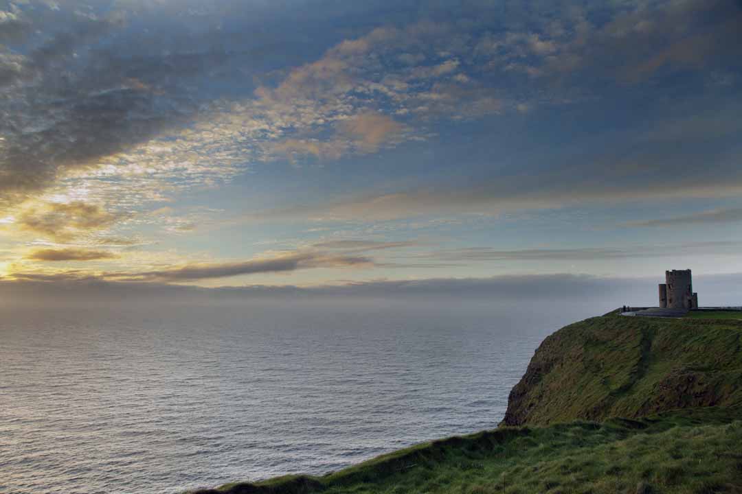
Cliffs of Moher
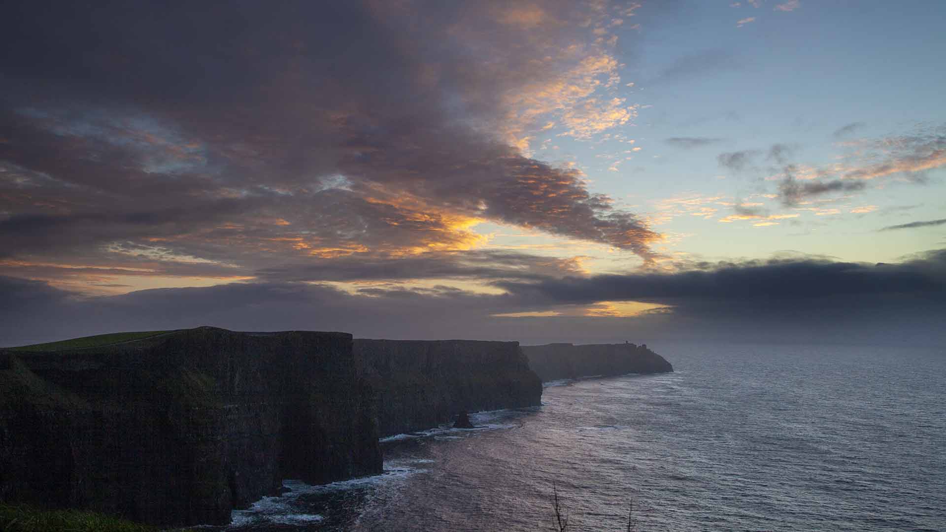
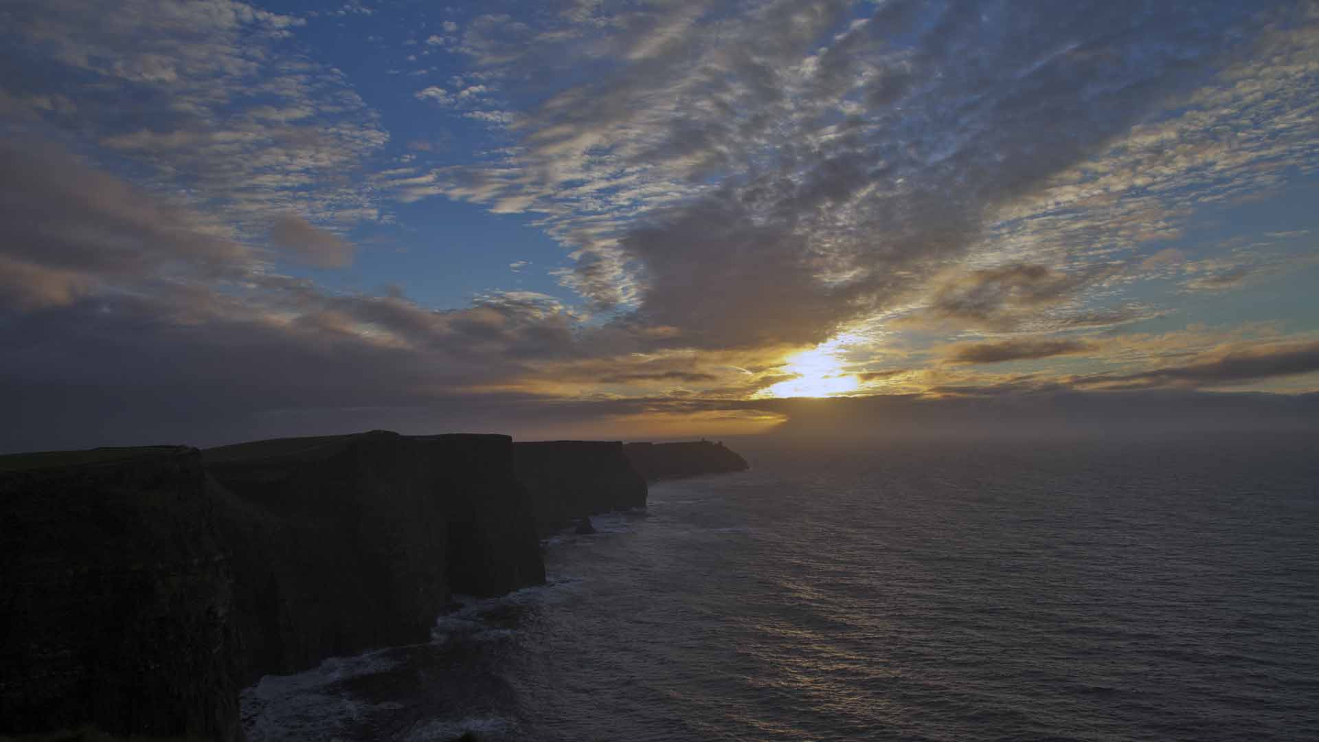
Welcome to the mighty Cliffs of Moher – Irelands most visited natural attraction and a signature discovery point on the Wild Atlantic Way. Right now you are following in the footsteps of up to 1 million people who arrive here every year, to view the beautiful natural wonder and embrace the rich geological and historical experience that is the Cliffs of Moher. Whether you’re choosing to view the Cliffs from land or by taking a cruise from Doolin Pier, you are assured an unforgettable experience.
Welcome to the mighty Cliffs of Moher – Irelands most visited natural attraction and a signature discovery point on the Wild Atlantic Way. Right now you are following in the footsteps of up to 1 million people who arrive here every year, to view the beautiful natural wonder and embrace the rich geological and historical experience that is the Cliffs of Moher. Whether you’re choosing to view the Cliffs from land or by taking a cruise from Doolin Pier, you are assured an unforgettable experience.
Liscannor
Liscannor
The village of Liscannor is just 6km away from the Cliffs, making it a convenient base for your trip and popular resort in the summer months. To see Liscannor is to immediately understand why the village is renowned for its stunning location, views and easy access to the Cliffs. The village takes its name from its old castle, ‘Lis’ being Irish for fort and ‘Cannor’ a variation of the name Connor. While you are visiting, look out for the striking local flagstone called Liscannor Stone-from which many of the local buildings, walls and pavements are built.
The village of Liscannor is just 6km away from the Cliffs, making it a convenient base for your trip and popular resort in the summer months. To see Liscannor is to immediately understand why the village is renowned for its stunning location, views and easy access to the Cliffs. The village takes its name from its old castle, ‘Lis’ being Irish for fort and ‘Cannor’ a variation of the name Connor. While you are visiting, look out for the striking local flagstone called Liscannor Stone-from which many of the local buildings, walls and pavements are built.
John Phillip Holland
John Phillip Holland
Something interesting to remember!
Something interesting to remember!
You’ll also be interested to know that Liscannor is the birthplace of John Phillip Holland-an Irish engineer who developed the first submarine to be formally commissioned by the U.S. Navy as well as the first Royal Navy submarine, the Holland 1.
You’ll also be interested to know that Liscannor is the birthplace of John Phillip Holland-an Irish engineer who developed the first submarine to be formally commissioned by the U.S. Navy as well as the first Royal Navy submarine, the Holland 1.
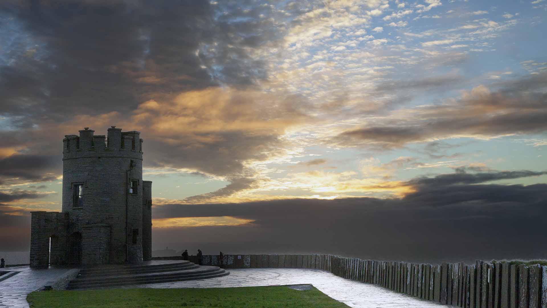
- Learn all about the Cliffs at the fascinating Cliffs of Moher Visitor Experience.
- Stop en route and take a look at O’Brien’s Tower- a 19th-century viewing tower
- Experience the Cliffs up close and at there finest on the Cliffs of Moher Coastal Walk. Begin the walk at Liscannor and continue all the way to Doolin, or vice versa.
- As you are walking be sure to take in two of the area’s most popular attractions: O’Briens Monument and Holy Well of St Bridget, whose waters are believed to have healing powers. Comelius O’Brien MP erected the monument in 1853, in gratitude for what he believed was the curing of an ailment at the well. Pilgrims visit the well on the last Sunday of July as part of the Lughnasa festivities.
- Take advantage of the excellent fishing while you’re here-available from the pier and beach.
- Check out the premium golfing available in the area, as well as pitch and putt.
- Enjoy

The Burren
The Burren
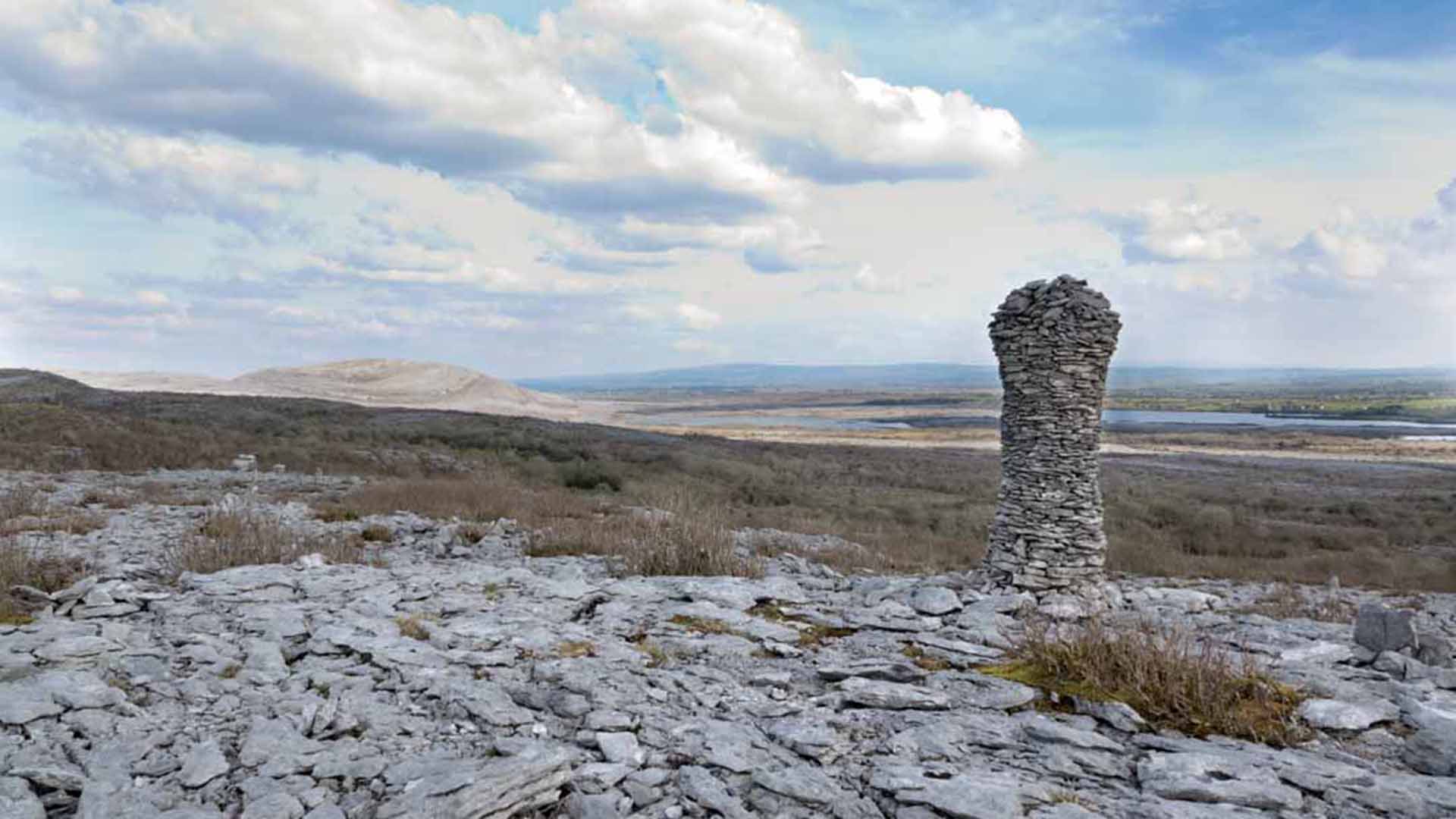
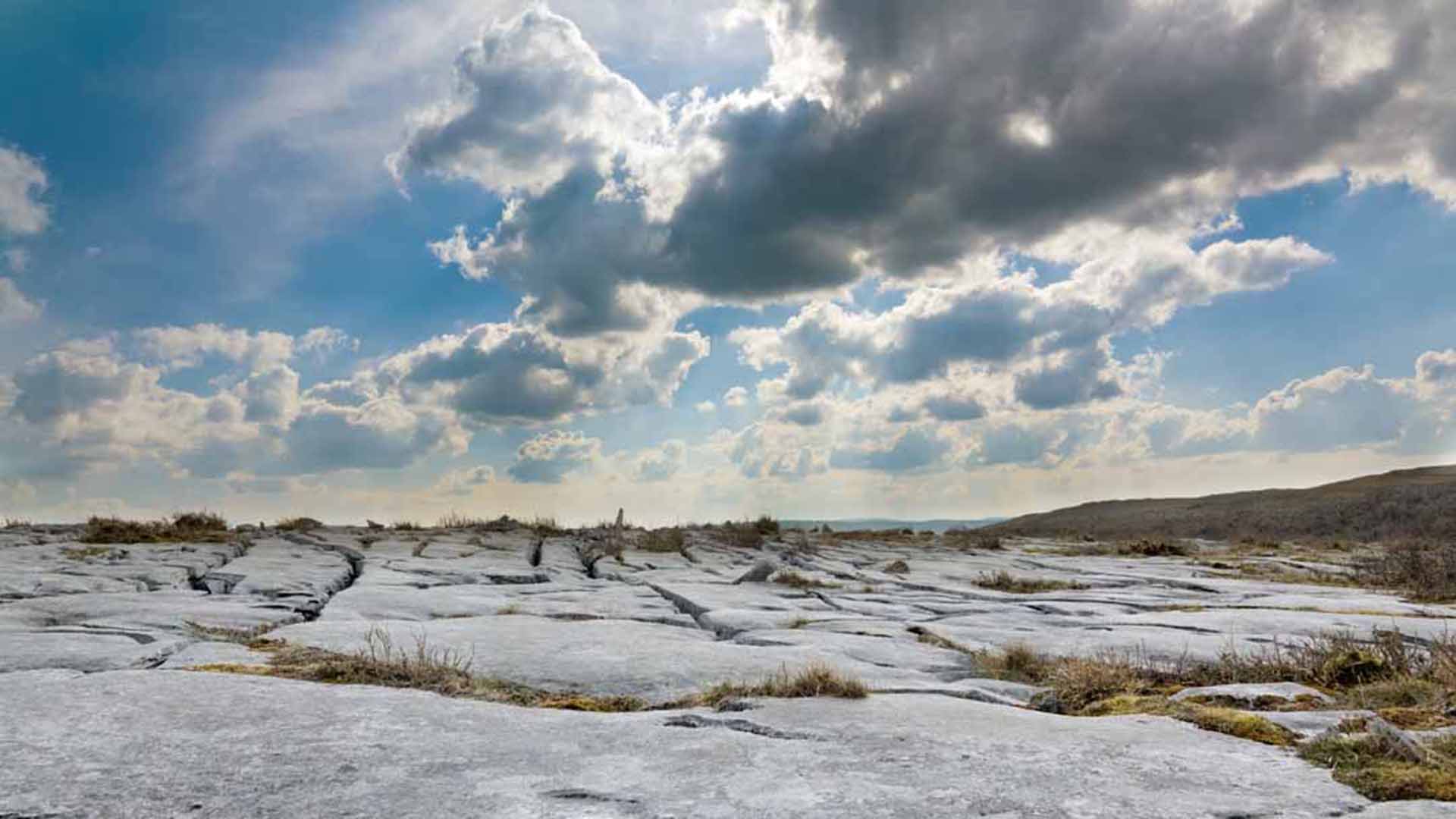
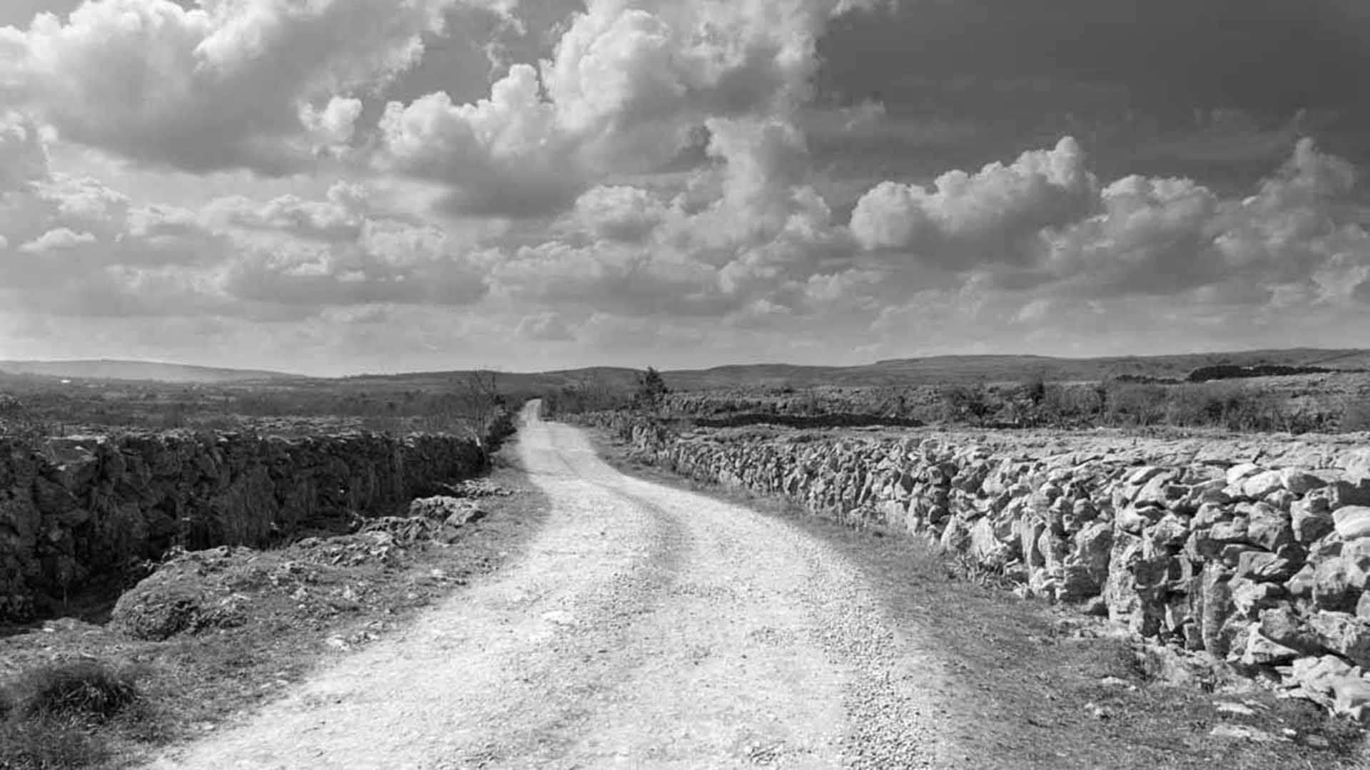
The Burren, the landscape looks lunar and is full of walking and hiking trails some more difficult than others
The Burren, the landscape looks lunar and is full of walking and hiking trails some more difficult than others
Welcome to Burren National Park
Welcome to Burren National Park
The Burren National Park is located in the southeastern corner of the Burren and is approximately 1500 hectares in size. The Park land was bought by the Government for nature conservation and public access. It contains examples of all the major habitats within the Burren: Limestone Pavement, Calcareous Grassland, Hazel scrub, Ash/Hazel Woodland, Turloughs, Lakes, Petrifying Springs, Cliffs and Fen.
The Burren National Park is located in the southeastern corner of the Burren and is approximately 1500 hectares in size. The Park land was bought by the Government for nature conservation and public access. It contains examples of all the major habitats within the Burren: Limestone Pavement, Calcareous Grassland, Hazel scrub, Ash/Hazel Woodland, Turloughs, Lakes, Petrifying Springs, Cliffs and Fen.
The word “Burren” comes from an Irish word “Boíreann” meaning a rocky place. This is an extremely appropriate name when you consider the lack of soil cover and the extent of exposed Limestone Pavement. However it has been referred to in the past as “Fertile rock” due to the mixture of nutrient rich herb and floral species.
The word “Burren” comes from an Irish word “Boíreann” meaning a rocky place. This is an extremely appropriate name when you consider the lack of soil cover and the extent of exposed Limestone Pavement. However it has been referred to in the past as “Fertile rock” due to the mixture of nutrient rich herb and floral species.
Edmund Ludlow
Edmund Ludlow
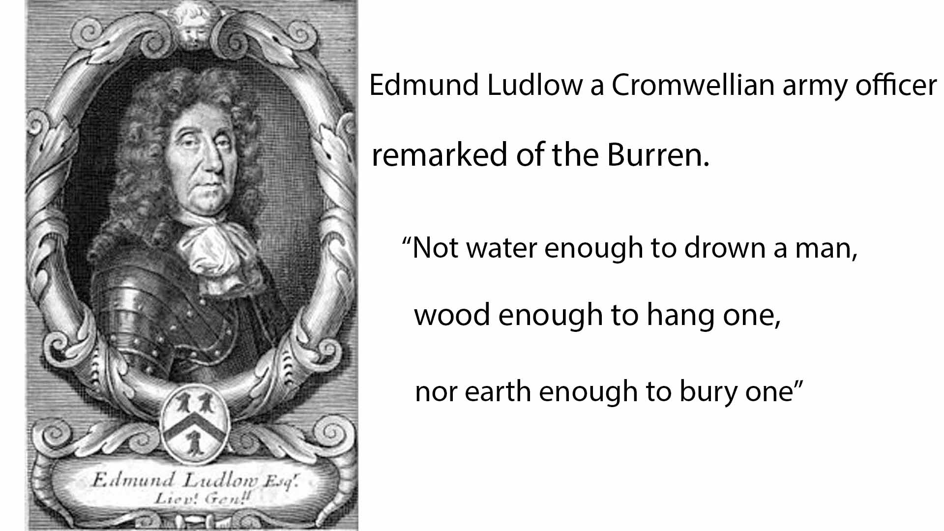
In 1651 a Cromwellian Army Officer named Ludlow remarked, “of this barony it is said that it is a country where there is not water enough to drown a man, wood enough to hang one, nor earth enough to bury them. This last is so scarce that the inhabitants steal it from one another and yet their cattle are very fat. The grass grows in tufts of earth of two or three foot square which lies between the limestone rocks and is very sweet and nourishing.”
In 1651 a Cromwellian Army Officer named Ludlow remarked, “of this barony it is said that it is a country where there is not water enough to drown a man, wood enough to hang one, nor earth enough to bury them. This last is so scarce that the inhabitants steal it from one another and yet their cattle are very fat. The grass grows in tufts of earth of two or three foot square which lies between the limestone rocks and is very sweet and nourishing.”
The highest point in the park is Knockanes (207 metres) which continues as a curving terraced ridge to Mullaghmór to the south. East of this ridge is an area of extensive, low lying limestone pavement containing a number of semi-permanent lakes. West of this ridge the pavement sweeps down to partially drift-covered ground which gradually rises again to reach the foot of a rocky escarpment. To the south of the park the limestone bedrock disappears under a layer of glacial till. This till area is far more intensively managed for pasture and silage
The highest point in the park is Knockanes (207 metres) which continues as a curving terraced ridge to Mullaghmór to the south. East of this ridge is an area of extensive, low lying limestone pavement containing a number of semi-permanent lakes. West of this ridge the pavement sweeps down to partially drift-covered ground which gradually rises again to reach the foot of a rocky escarpment. To the south of the park the limestone bedrock disappears under a layer of glacial till. This till area is far more intensively managed for pasture and silage
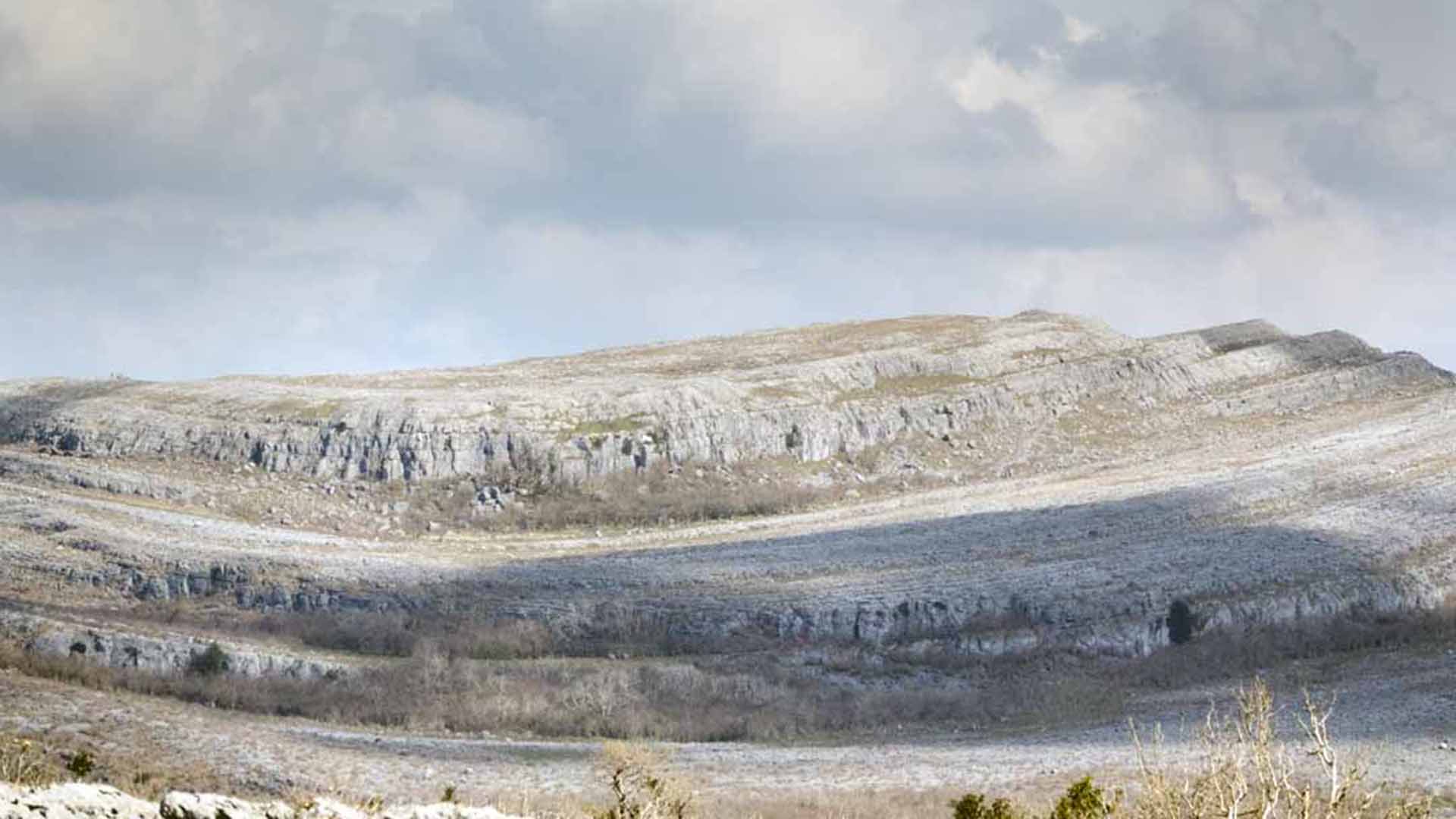
Above photo’s were taken on the Lough Avalla farm loop, you must turn at Holywell and follow the trail, this is a difficult hike and rocks are very slippery when wet.
Above photo’s were taken on the Lough Avalla farm loop, you must turn at Holywell and follow the trail, this is a difficult hike and rocks are very slippery when wet.

