Cahir Castle to Swiss Cottage
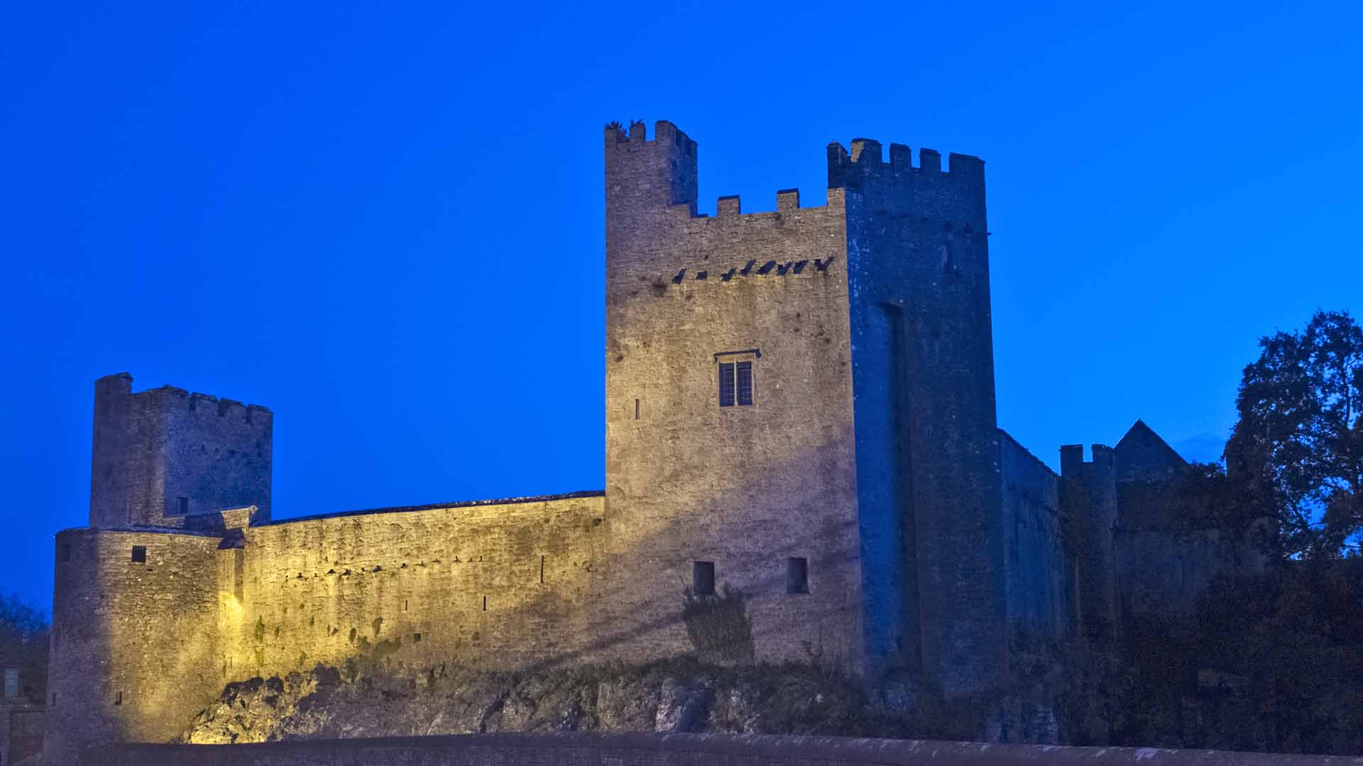
Cahir Castle has an interesting history and used for TV shows, like The Tudors. Well worth a visit not far of the M8.
Below is information obtained from the Irish Tourism website
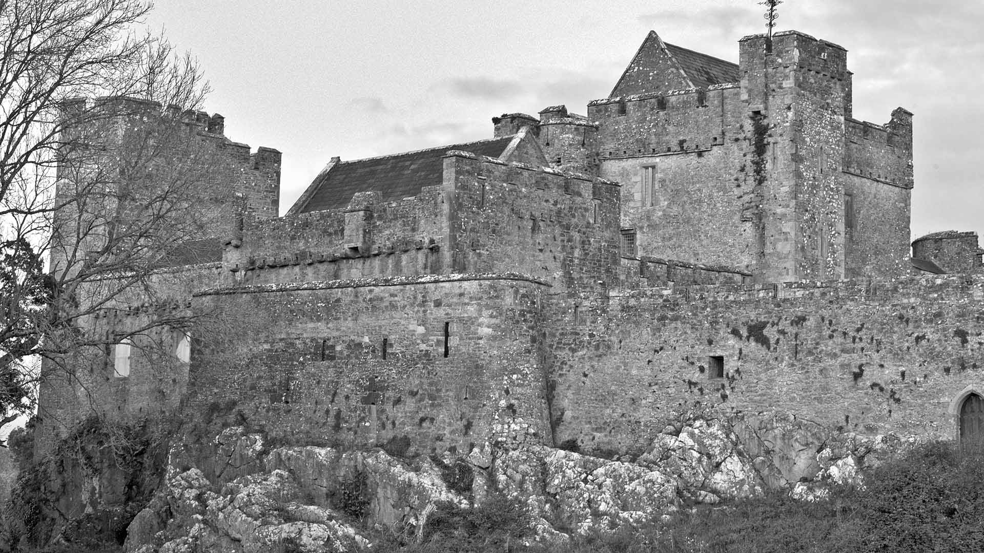
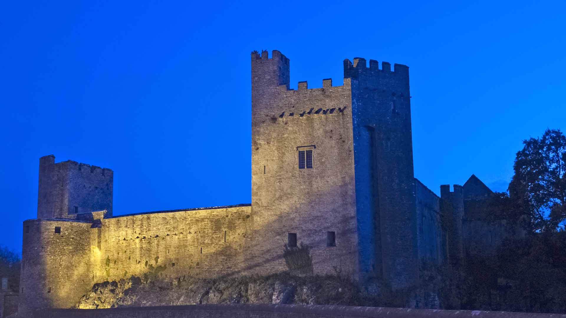
Cahir Castle (Irish: Caisleán na Cathrach), one of the largest ancient castles in Ireland, was built in County Tipperary in 1142 by Conor O’Brien, Prince of Thomond, on an island in the River Suir. Standing tall, the castle appears to grow out of the rock, now situated in the town centre, Cahir castle is well preserved and has a guided tour and audiovisual show in multiple languages. The castle tour will take you down spiral staircases as well as into the deep dark prison dungeons. It is one of the best-preserved standing castles of Ireland.
In 1375, the castle was granted to James Butler, newly-created Baron of Cahir, for his loyalty to Edward III. The Butlers of Cahir sided with the Irish in the Elizabethan wars, and in 1599 the castle was captured after a three-day siege by the army of the Earl of Essex and was for a year put under the charge of Sir Charles Blount.
During the Irish Confederate Wars, the castle was besieged twice. In 1647 George Mathew, the guardian of the young Lord Cahir surrendered to Lord Inchiquin following his victory at the battle of Knocknanauss. In 1650 he surrendered again to Oliver Cromwell, during his conquest of Ireland without a shot even being fired.
While exploring Cahir Castle some other facts are:
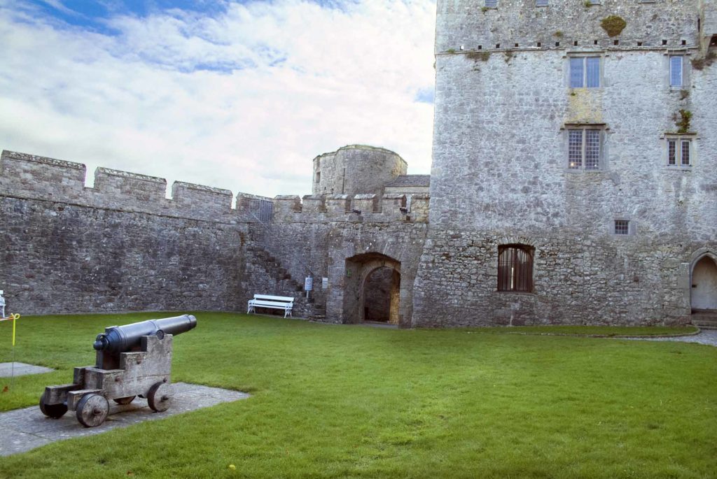
If looking for something to do, find the Cannon Ball lodged in the wall.
When finished with the Castle do take this picturesque path to the Swiss Cottage 2km, this is a Blueway and runs from here to Carrick-on Suir, but it’s only possible to walk it from Cahir Castle to the Swiss Cottage and Clonmel to Carrick-on Suir. Please remember it’s not possible to walk Blueways.
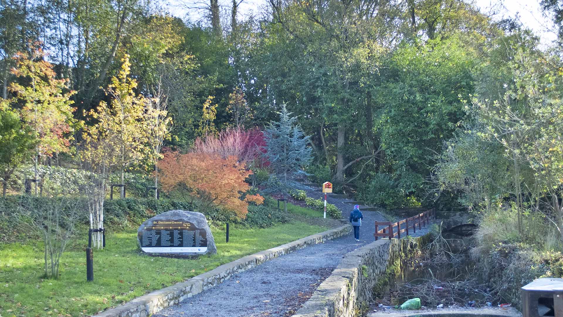
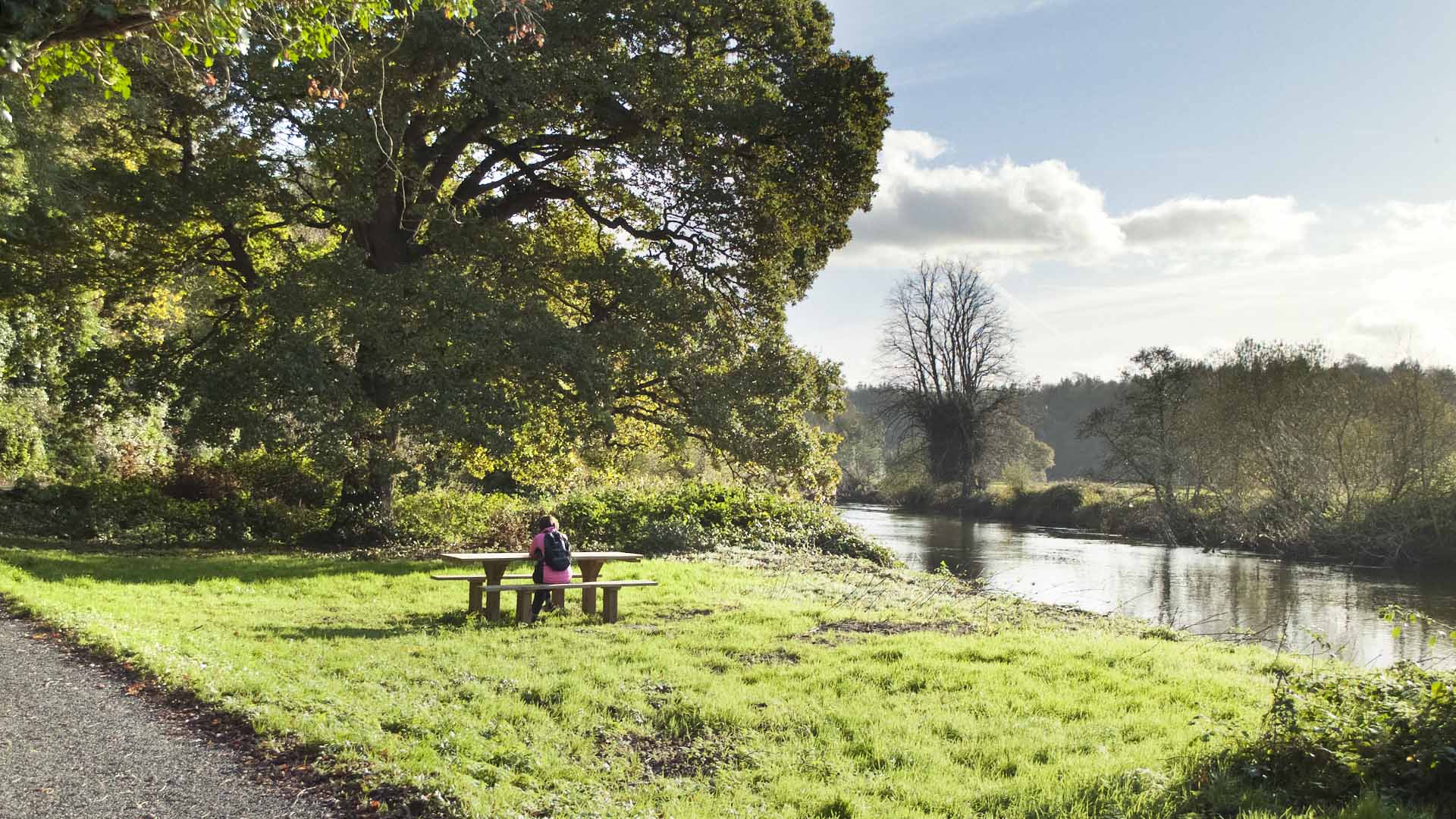
This is a perfect pace for a picnic.
Swiss Cottage
Info about Cahir
Cahir takes its name from the Irish Cathair Dhun Iascaigh, the stone fort of the earthen fort of the fish. There was a fort here as early as the 3rd century AD. Historical references also infer a Gaelic royal residence somewhere around Chair, but these cannot be specifically tied down to the location of Cahir Castle. A castle existed at this location since the twelfth century and has changed hands several times, the castle was owned by the Butlers from 1375 to 1961. The town of Cahir grew up around the important crossing on the Suir and to service the castle. The present layout of the town is the nineteenth century in date, having been rebuilt to a design by William Tinsley, architect for Richard Butler. and Earl of Glengall.
Cahir is a compact town easily explored by foot on the heritage trail which starts at the Tourist Office. The trail takes in not only the castle and abbey but more unexpected sights from one of Ireland’s first railway viaducts and a ha-ha, to Bob, a Crimean war hero. A2km(1.25 mile) riverside stroll from the car park leads to the extraordinary thatched Swiss Cottage, the design of which is attributed to royal architect John Nash. Pick up the trail leaflet from the Tourist Information Centre or see discover ireland.ie.
Appearing to grow out of a rocky island in the River Suir, Cahir Castle dominates the town. It was a Butler stronghold since the 14th century. A medieval town grew up around the Castle and St. Mary’s Priory (known locally as Cahir Abbey) and the medieval parish church of St.Mary.
The focus of Cahir shifted dramatically from the late 18th century when James Butler. 9th Baron Cahir built grand public buildings and his townhouse (Chair House) in the Square. His son Richard, the future 1st Earl of Glengall, employed royal architect John Nash to design a new church and school, and a fascinating country retreat within the woods of his estate. The 2nd Earl of Glengall and his daughter continued the improvements, attracting industry, creating the foundation in the Square to supply the town with water and creating elegant facades in the Square and Castle Street.
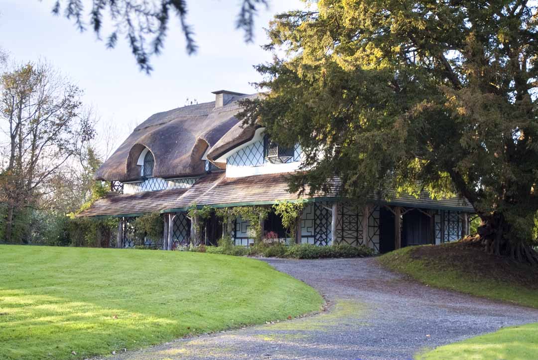
A 2km (1.25 mile) riverside stroll from the car park leads to the extraordinary thatched Swiss Cottage where the Butler family enjoyed an exquisite rural retreat in the 19th and 20th centuries.
Tipperary Heritage Way
From Cahir, the Tipperary Heritage Way extends 20km north to Golden and 10km south to Ardfinnan.
Cahir takes its name from the Irish Cathair, meaning stone fort. A prehistoric fort once stood on the site of the current castle. Cahir Castle is on an imposing site overlooking the Suir and dominates the town. Situated on a rocky outcrop in the river, it is one of the largest and best-preserved medieval castles in Ireland. Its distinctive features include Ireland’s only working portcullis and the Great Hall, but it is the size, scale and settings of the castle which impress the most. It dates from the 13th century and in 1375 it was granted to James Butler, Earl of Ormond, and remained with his descendants until the 1960s.
Cahir takes its name from the Irish Cathair, meaning stone fort. A prehistoric fort once stood on the site of the current castle. Cahir Castle is on an imposing site overlooking the Suir and dominates the town. Situated on a rocky outcrop in the river, it is one of the largest and best-preserved medieval castles in Ireland. Its distinctive features include Ireland’s only working portcullis and the Great Hall, but it is the size, scale and settings of the castle which impress the most. It dates from the 13th century and in 1375 it was granted to James Butler, Earl of Ormond, and remained with his descendants until the 1960s.
North of the town centre is the Augustinian Priory of St.Marys, more commonly known as Cahir Abbey. It was founded around 1220 under the patronage of the Norman knight, Geoffrey de Camvill and was dissolved in 1540. This is one of few abbeys where it is still possible to climb the crossing tower of the church. Further out this road takes a laneway to the left to visit Tobar Iosa, a well-kept holy well.
From the bridge, you can also walk north on the opposite bank of the river. This leads to the Haw-Haw and St. Paul’s Church of Ireland, while you can return to the town centre via the Craft Granary.
Cahir lies at the foothills of the Galtee Mountains which extend to the west. The Heritage Way climbs upwards from the town into Ballydrehid Woods and you can enjoy fine views north and south from this point. Two important sites are located in the countryside north of Cahir. Knockgraffon Motte was built by the Normans but was reputedly the coronation site of the Kings of Munster centuries beforehand. Toureen Pecaun is the site of a 7th-century monastic settlement located just 1km west of the point where the Heritage Way crosses the N24. Here you can visit St. Pecaun’s holy well, cell and ruined church, which contains many fragments of ancient crosses.
The Coronation Walk runs south from the town along the river bank for 2km. At the end of the walk, the Tipperary Heritage Way crosses the bridge adjacent to the swiss cottage. This picture-postcard building is a richly-decorated structure and is an outstanding example of the cottage Ornee style. It contains features such as spiral stairs, timber latticework, a thatched roof and projecting eaves. The cottage was designed by well-known architect John Nash in the early 19th century for Richard Butler, 1st Earl of Glendale and the 10th Baron Chair and was used by the Earl and his wife to entertain visitors.
From the Swiss Cottage, there are two alternative routes, one of which continues along the banks of the Suir. The walk then proceeds along quiet country roads to Ardfinnan, passing within sight of the ruins of Roosca Castle. This was once home to Theobald Butler, Sherriff ofTippery in the late 16th century.

The Vee
